BraysAway Travels
Guadalupe Mountains National Park, TX
We drove about 55 miles due north of Van Horn where we camped to Guadalupe Mountains National Park, one of only two national parks in Texas. It was a pretty boring drive. Kim’s phone had been trying to switch back to Mountain Time Zone ever since we arrived but mine had gotten it right on CDT. Turns out as we approached the national park, both iPhones switched to Mountain Time. We never saw a sign on the way but at the Ranger Station there was a sign that the park is on Mountain Time! I guess that’s why the iPhones were messing up.
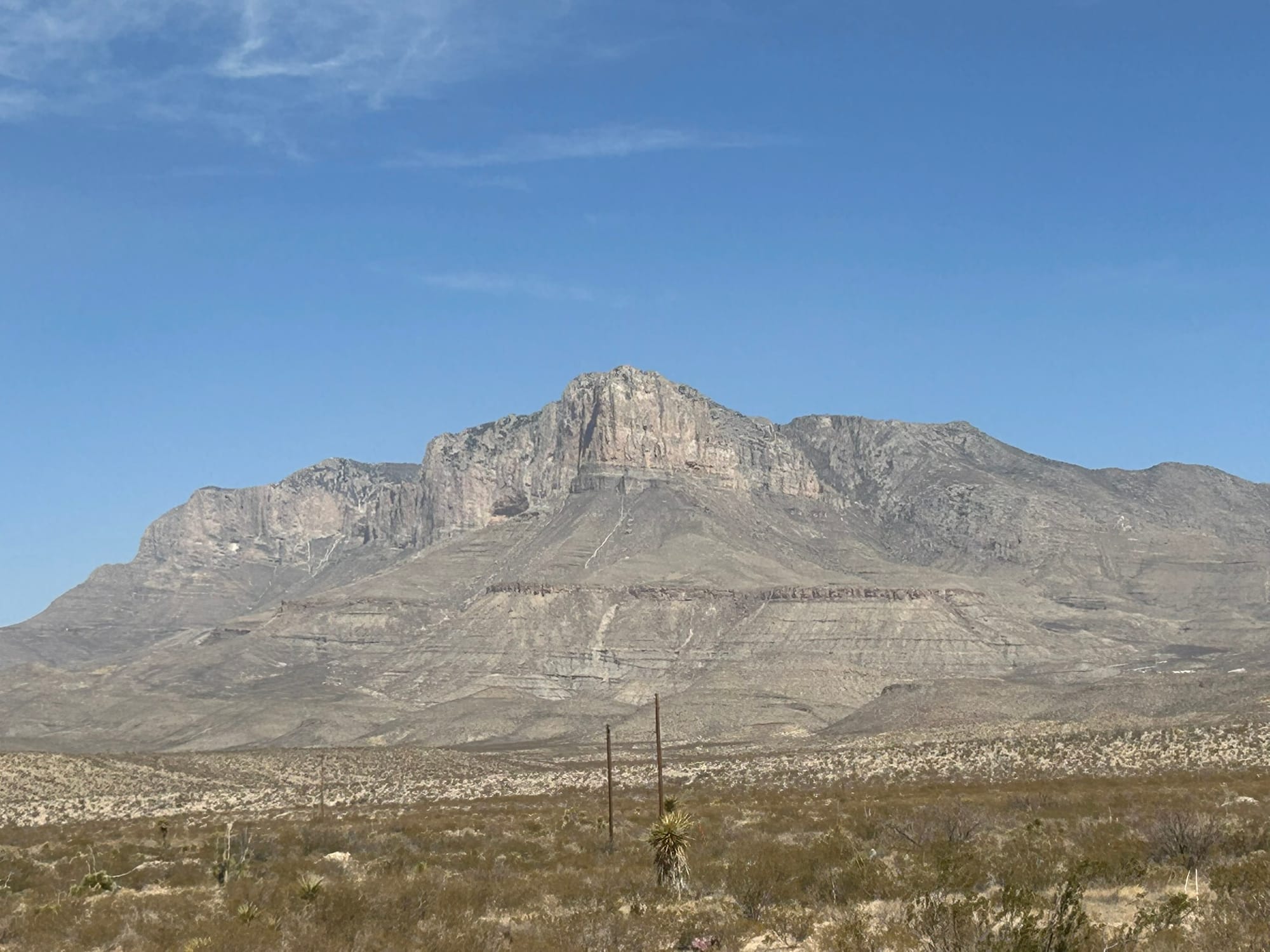
As you approach the park the first thing you see is the highest mountain in Texas, Guadalupe Peak, which is the backbone of the park. It is so large that you can see it for 20 miles or more and the details slowly emerge as you get closer to the park! It’s really an impressive sight jutting up from the desert floor.
We went into the first Ranger station at Pine Springs to check in and see what the park offers. The station has a nice display of local wildlife and plants. We picked up a map and discovered that the park is basically all about hiking. As we left the station, the winds had picked up tremendously and we had heard a ranger warning hikers and campers that they were expecting high winds and dangerous wind chills tonight. We went up the highway to the next ranger station just to see what else there was to see and then headed back to the campsite.
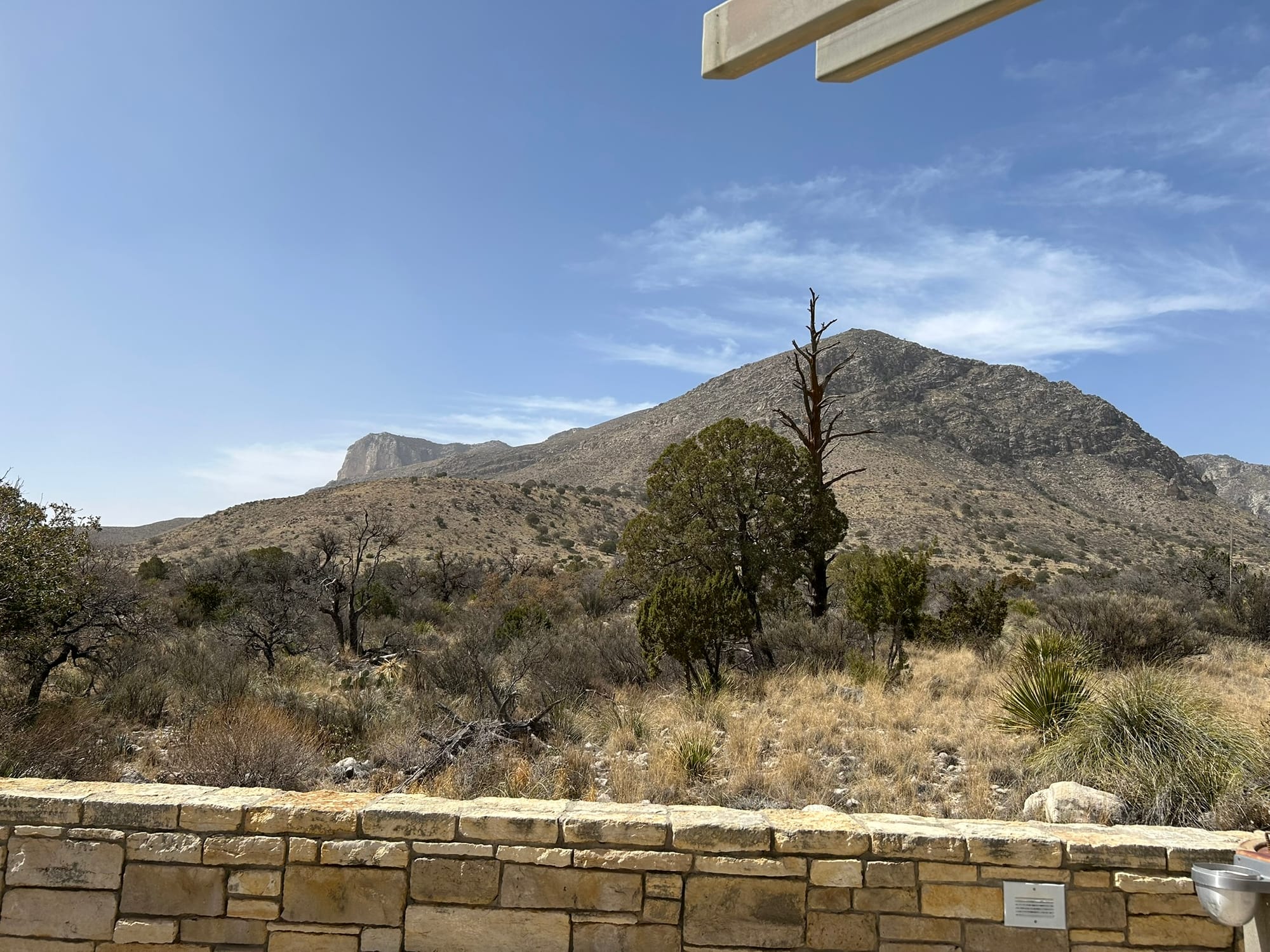
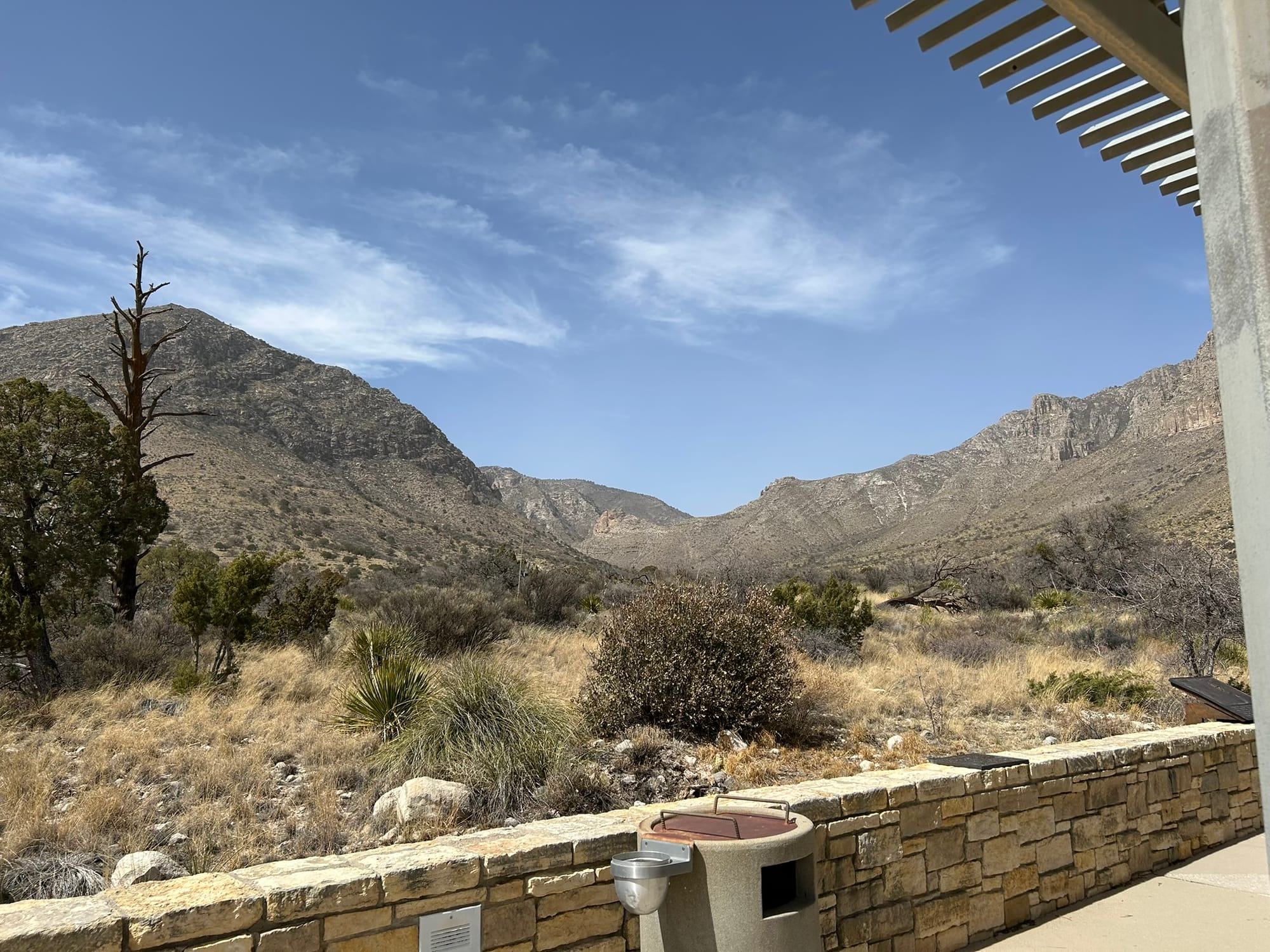
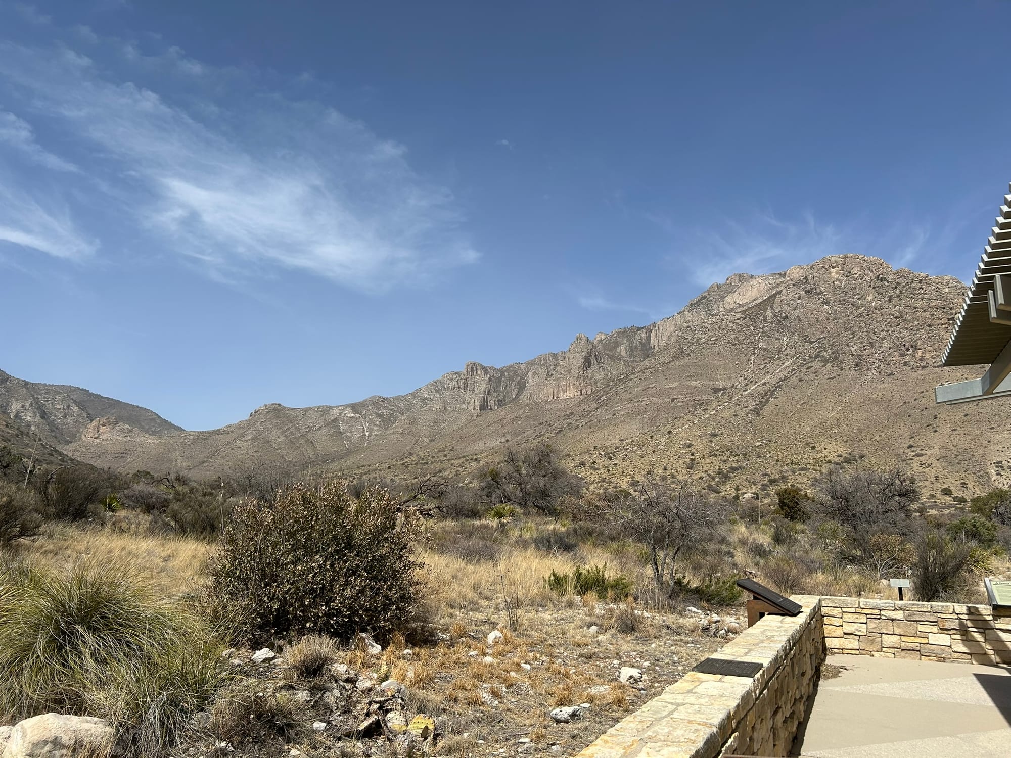
The View from Pine Springs' Ranger Station (back side of Guadalupe Peak)
Glad we didn’t go hiking because that wind was pushing our huge truck around on the way back to Van Horn! The dust was flying across the road so bad that it was white-out conditions for short distances!
That night before dinnertime a true dust storm kicked up and everything got a weird yellow-brown look to it! Remind me to clean our truck’s air filter in the morning! The late afternoon was pretty much a bust and we stayed indoors for the evening.
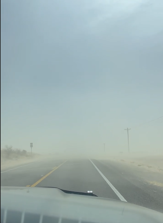
The "White-out" on the drive back
Joshua Tree National Park, CA
As the name would suggest, Joshua Tree National Park is filled with Joshua trees but it’s also filled with all sorts of crazy rock formations. On one side of the road, you have sort of normal dirt covered mountains and hills and then all of a sudden you see piled up boulders like some giant kid's blocks. I can't help but wonder how they got there and how they were formed. There doesn’t seem to be any sign of erosion that exposed them. They’re just there, mountains of them. We visited a couple of the more famous formations – Cap Rock, Skull Rock and Split Rock for some photos of course! We also drove through what felt like a forest of Joshua Trees.
We went out to Key View in the park and it was eye opening! I didn’t realize how high the park actually is. It is around 4000 feet elevation and from Key View you really get that perspective first hand! You can see all the way down to Palm Springs and the Salton Sea. Amazing view! The rest of the drive through the park was pretty much more boulders and mountains and we exited at the northeast gate into Twentynine Palms and headed back. Other than the scenery, some camping and climbing on the boulders there isn’t much else to do in the park. It was definitely worth the drive through it though!
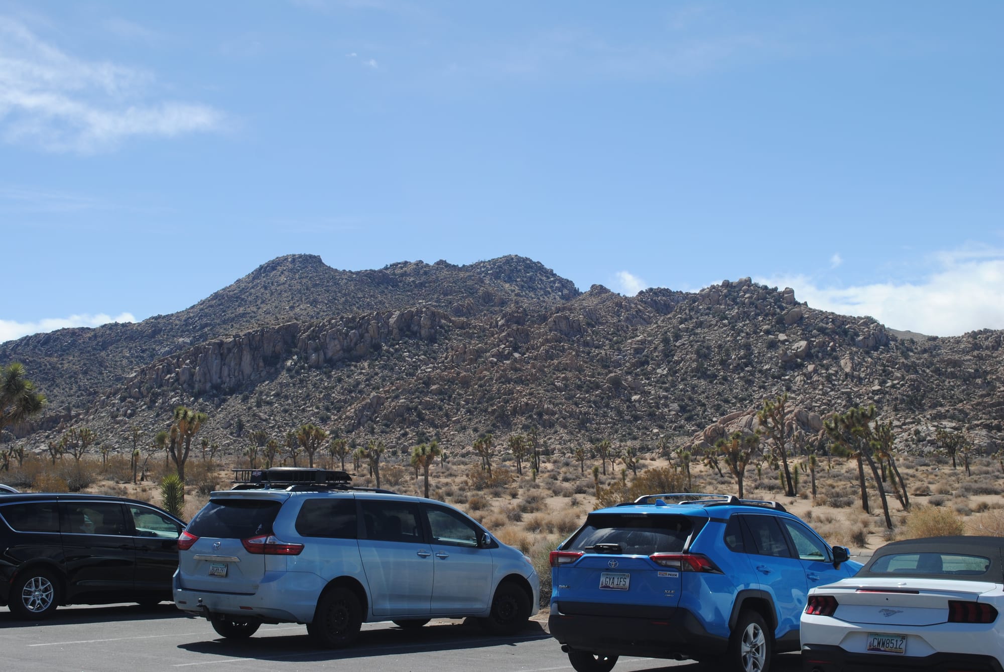
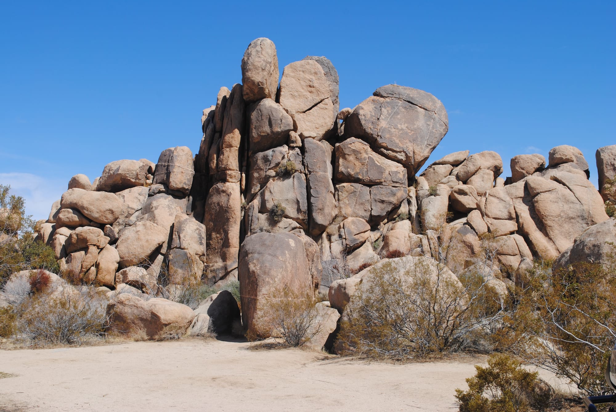
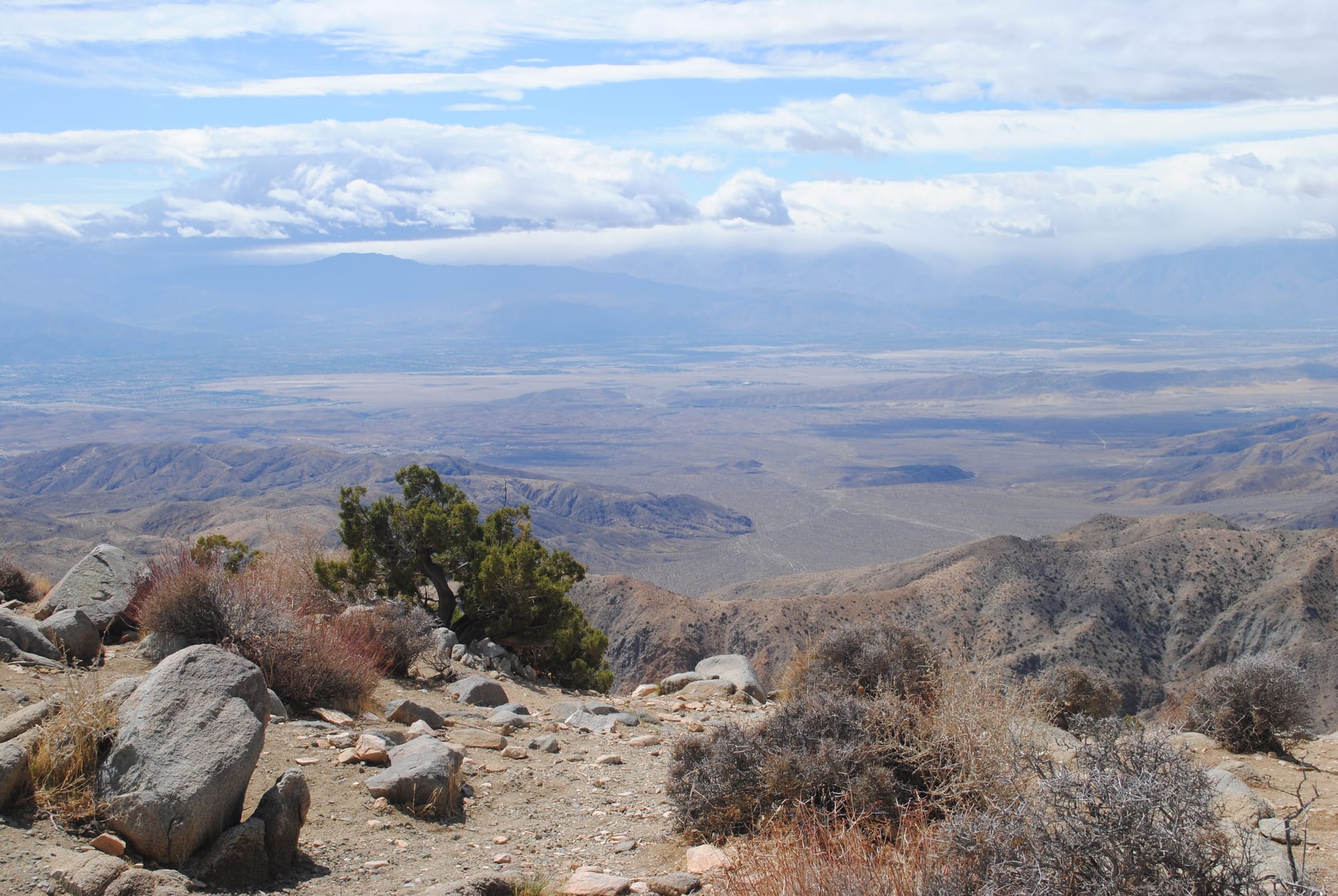
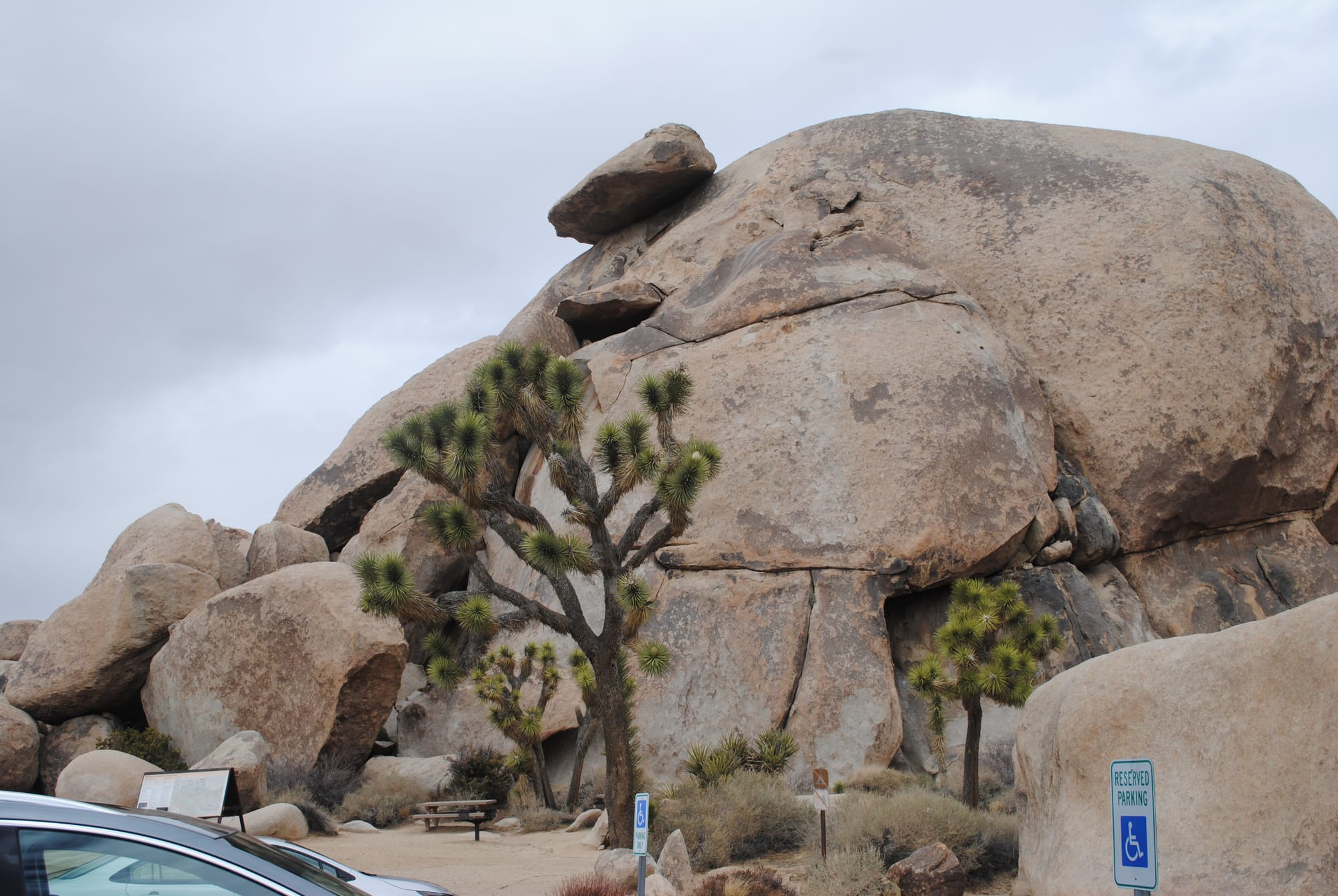
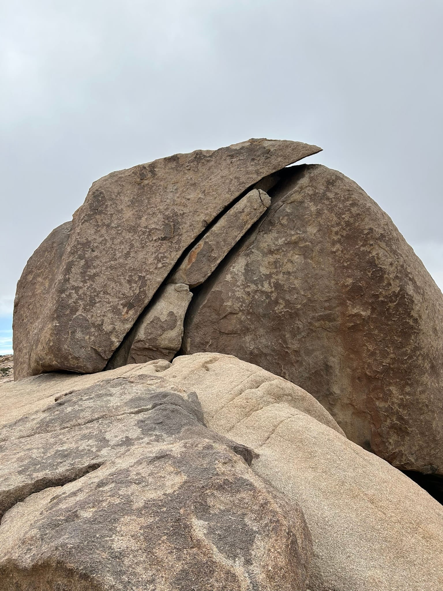
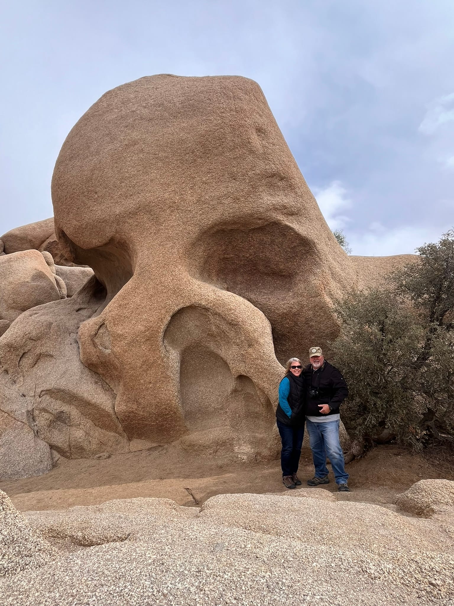
Joshua Tree National Park Views including Cap Rock, Split Rock and Skull Rock
Death Valley National Park, CA
We drove from Las Vegas over to Panamint Springs in Death Valley National Park where we were going to camp for a couple of days. Basically, we drove east to west roughly across the center of the national park which gave us a really good look at a lot of the scenery there. On the one hand, Death Valley is just a very desolate low lying area between two mountain ranges in the desert. There’s not a lot of trees. It’s just desert scrub with rocks everywhere and some mountains and valleys. But on the other hand, it is amazing to see the long running mountain ranges, to cross through the mountain passes with their absolutely spectacular views, to be at 5000 feet one minute and at -250 feet a few minutes later as we drove across the park. There are areas of salt flats where water clearly had evaporated to create it. There’s random sections of sand dunes as if some giant toddler has poured out a bucket of sand and the mind wonders how that formed naturally!
From our campsite in Panamint Springs, we can look across the valley floor and there is again a random pile of sand blown into dunes at the foot of the mountains on the other side. There’s a nice little restaurant here, a hotel and a gas station with six dollar gasoline (thanks California!). Inside the restaurant, there’s a huge Redwood bar that the employee told me had been there at least 45 years and was a hand cut piece of Redwood that has been intricately carved in all sorts of cool shapes. The workers at the restaurant are very nice and very informative. The restaurant has a decent selectiion of food and an amazing variety of beer most of which I had never heard of. The campsite has RV spots and tents and cabins for rent.
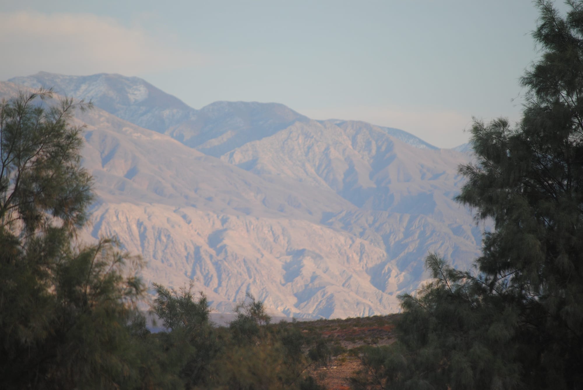
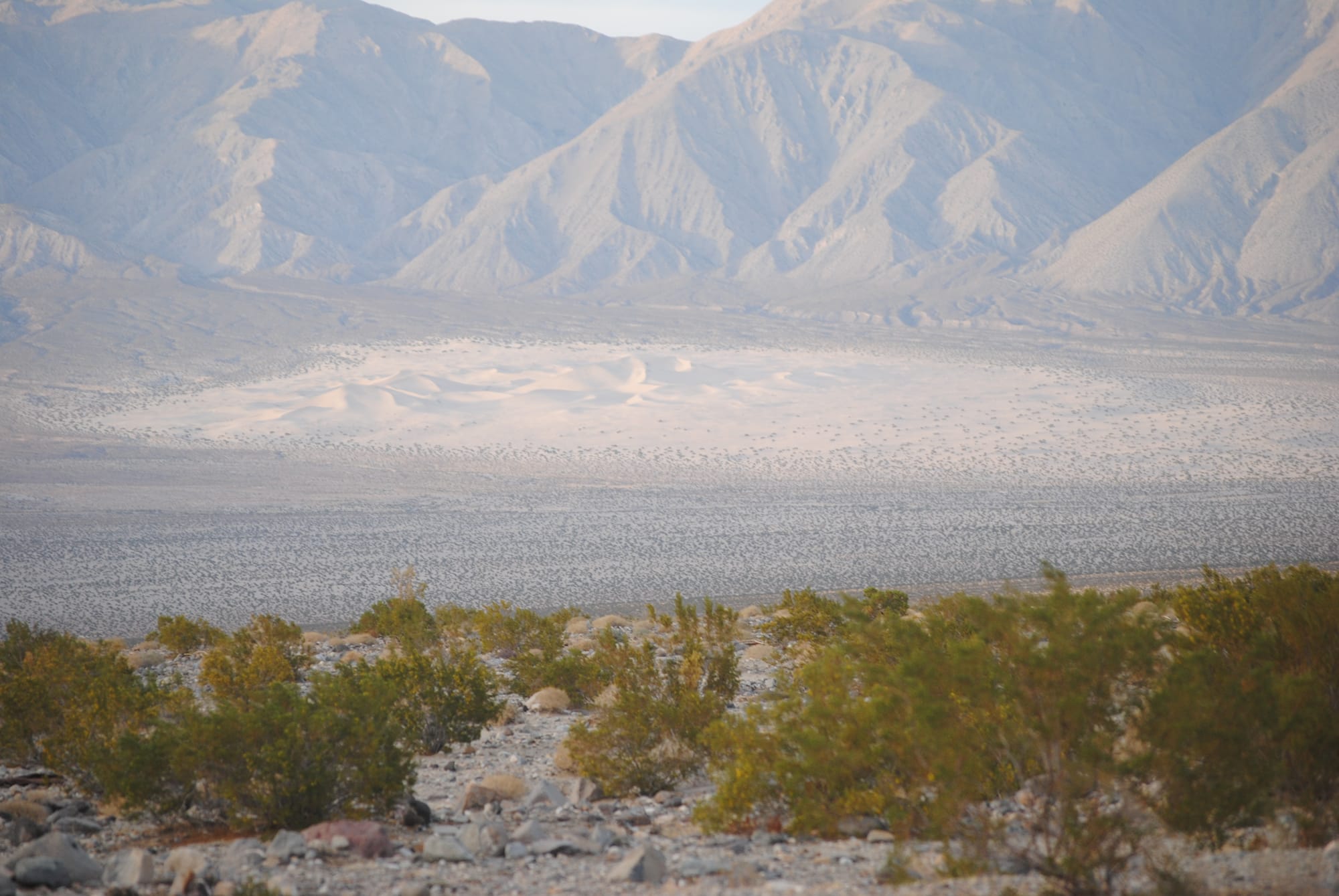
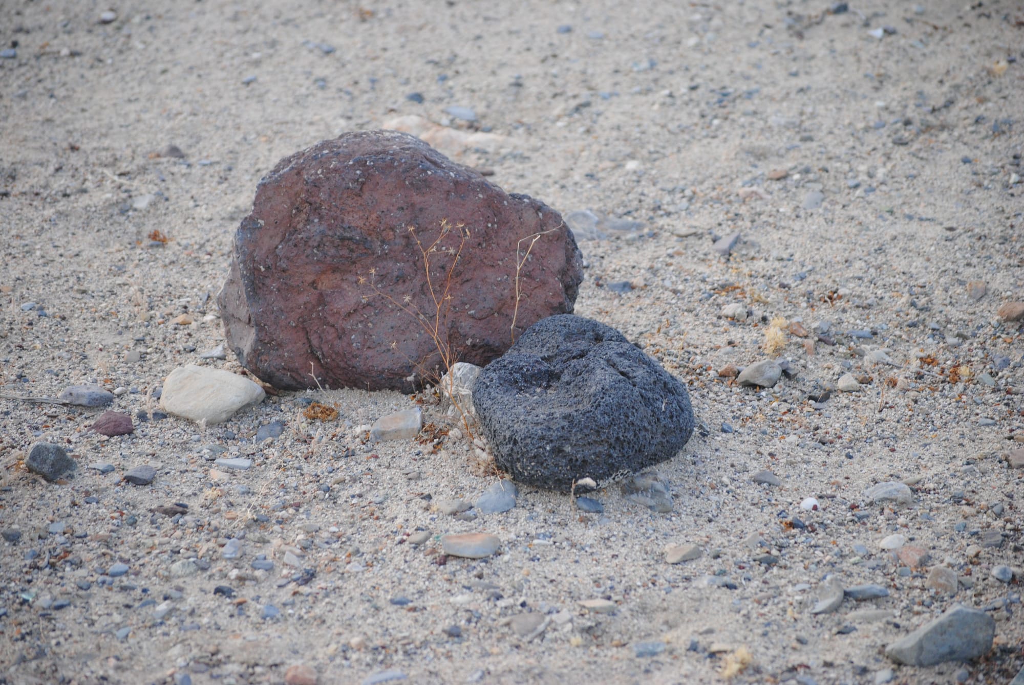
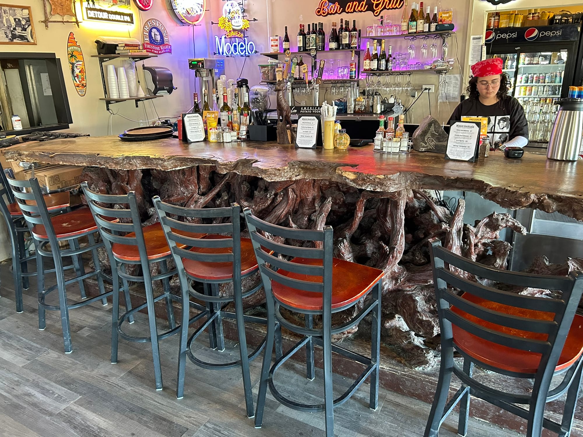
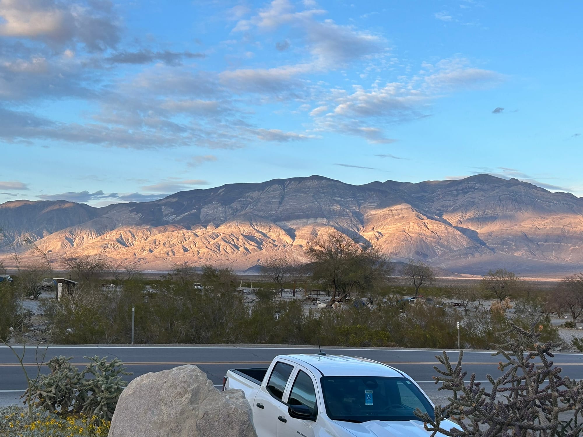
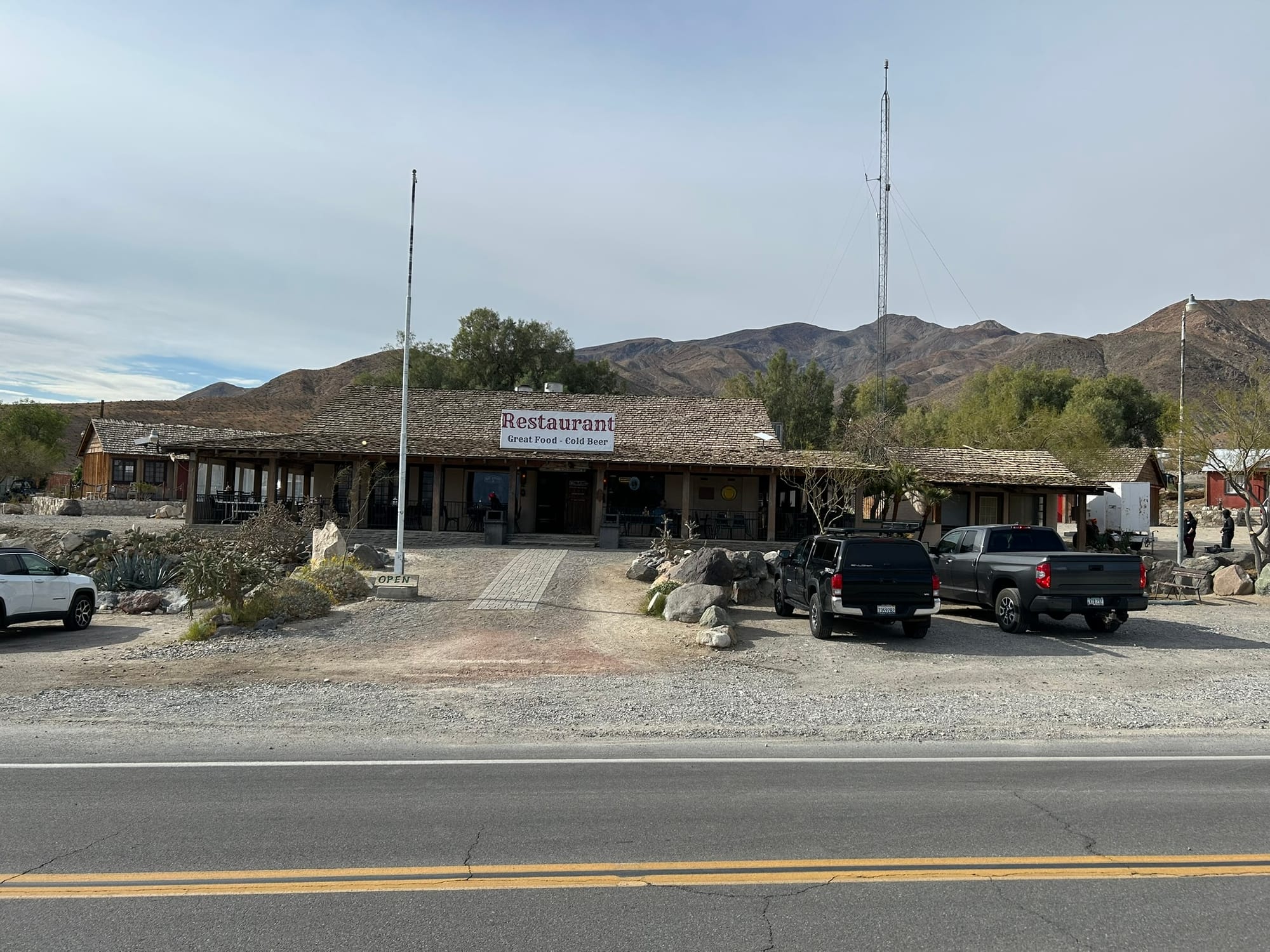
Views from Panamint Springs
There’s still a lot of roads in the park still closed from the flooding a couple years ago so some of the scenic places can't be reached yet.
On the way here from Las Vegas we followed signs for death Valley and very quickly came into some pretty rugged, desolate areas where we ran out of cell phone coverage long before entering the park. We went most of the day without any connectivity. At one point, we went through what appeared to be a mini ghost town at one intersection, and there was an abandoned motel, with one of the buildings labeled an "opera house". It was out in the middle of nowhere so it was very surprising to see something like that in that setting. I swear I could hear Eagles’ music playing! Luckily we WERE able to leave though!
Even in Panamint Springs, we had no cell phone coverage or Internet connectivity. Our T-Mobile hotspot we bought didn't work either because there just aren’t any cell towers for it to contact with, but there is Wi-Fi at the restaurant! A lot of folks hang out there in the evening and catch up on the news and the mail and we were able to make FaceTime phone calls and things like that. This is the trip that’s convincing us we need to get Starlink!
On our second trip over to the restaurant (because Kim was dying for some connectivity) we ran into a young British man who is here with a group of Brits who are doing a charity ride from somewhere on the California coast across death Valley to Las Vegas over the course of a week. They’re raising about 8 to $9000 for a Romanian charity which I thought was pretty amazing. Apparently, they do this annually and take a ride at various locations around the world. He said they’ve done Spain and some other locations so it seems like a good excuse to have a scenic bike ride. As he said “who can say that they have ridden a bike across Death Valley?" Certainly not me, especially given that from Panamint Springs there’s a small downhill run to a fairly level area across the valley floor and then about a 3000 foot climb up through the mountain pass! That’s a hell of a way to start your day on a bicycle!
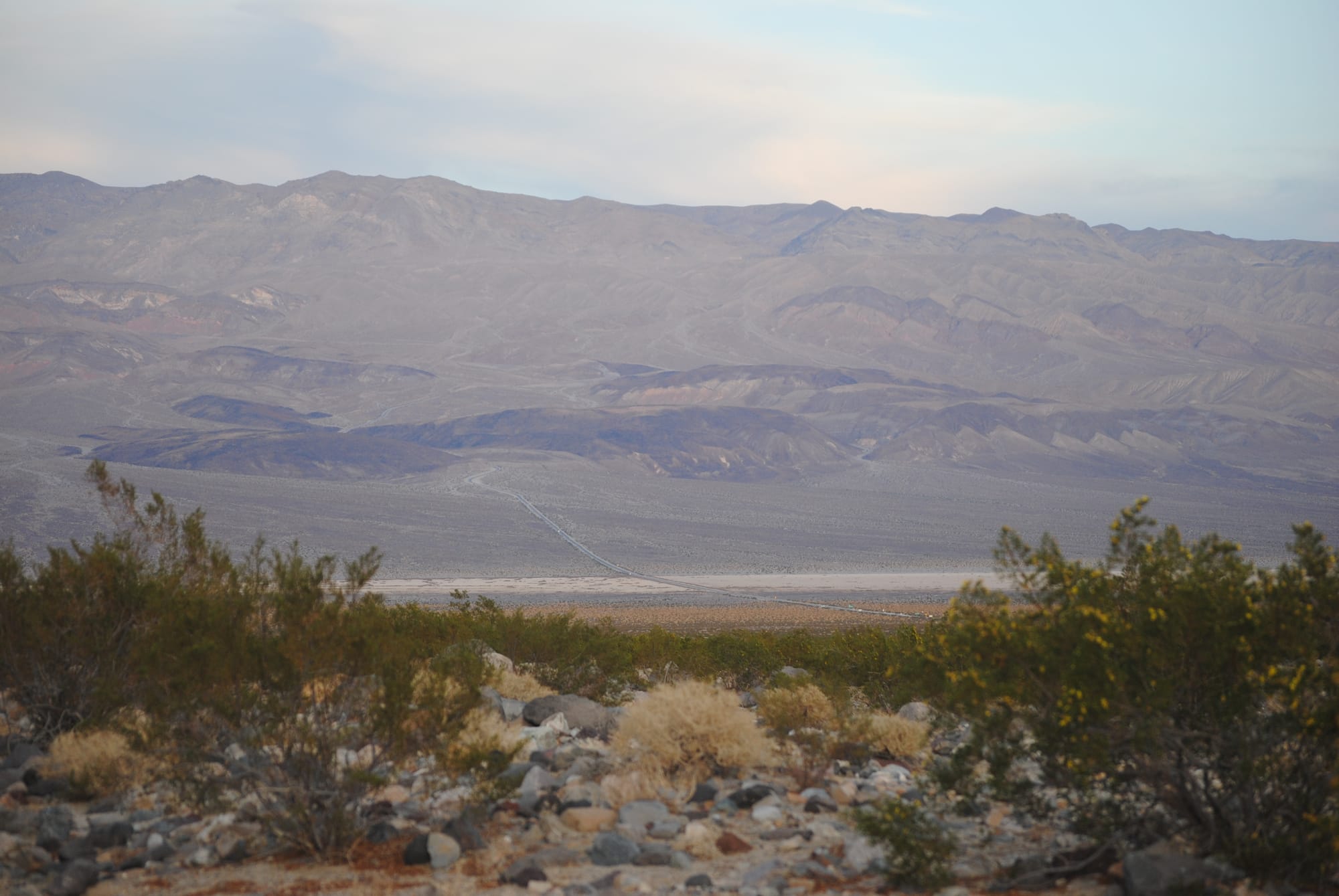
Distances are very hard to judge in the park because the scale is so large. You look ahead at the road and think "just a few minutes" and 30 minutes later you are still driving across it!
On our second day in the park, we headed out to explore some of the Valley with our dogs. We headed back the way we came and stopped at Mosaic canyon trailhead but no dogs are allowed on the trails so we piled back onto the truck and headed to the dunes we had seen on the way in. Kim and I took turns walking out on them due to the whole “no dog” thing. The dunes were made up of very fine tan sand piled up in dunes. We got on the road again and turned north towards Ubehebe volcanic crater which was amazing to see. The park experienced some volcanic eruptions following the tectonic actions that made the mountains and dropped the valley floor below sea level. When we were walking the dogs at the campground, I thought I was seeing pumice rocks and I was right! I didn’t know then that there were volcanoes in Death Valley. After visiting the volcano, we headed back to the campsite and had dinner at the restaurant which was very good!
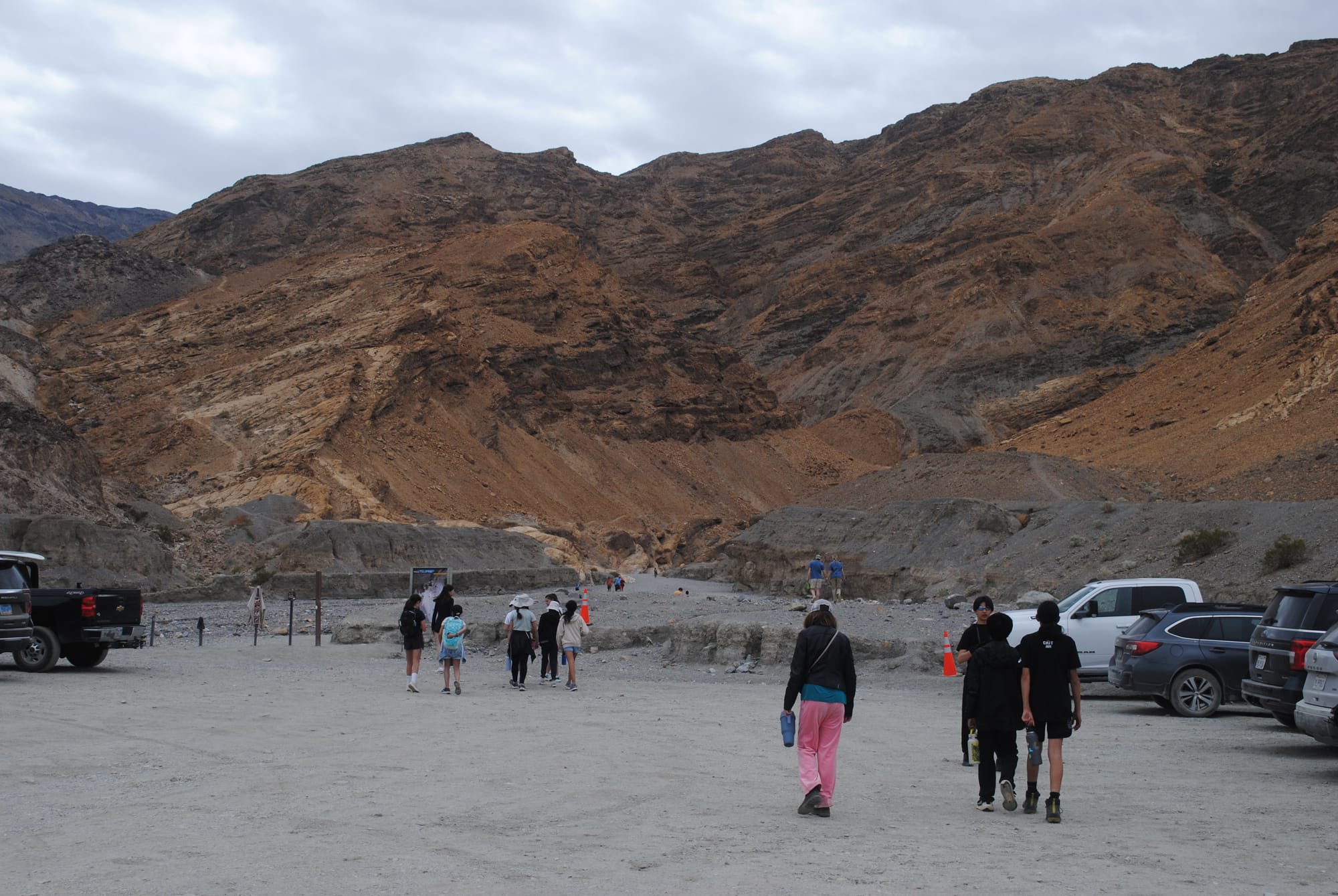
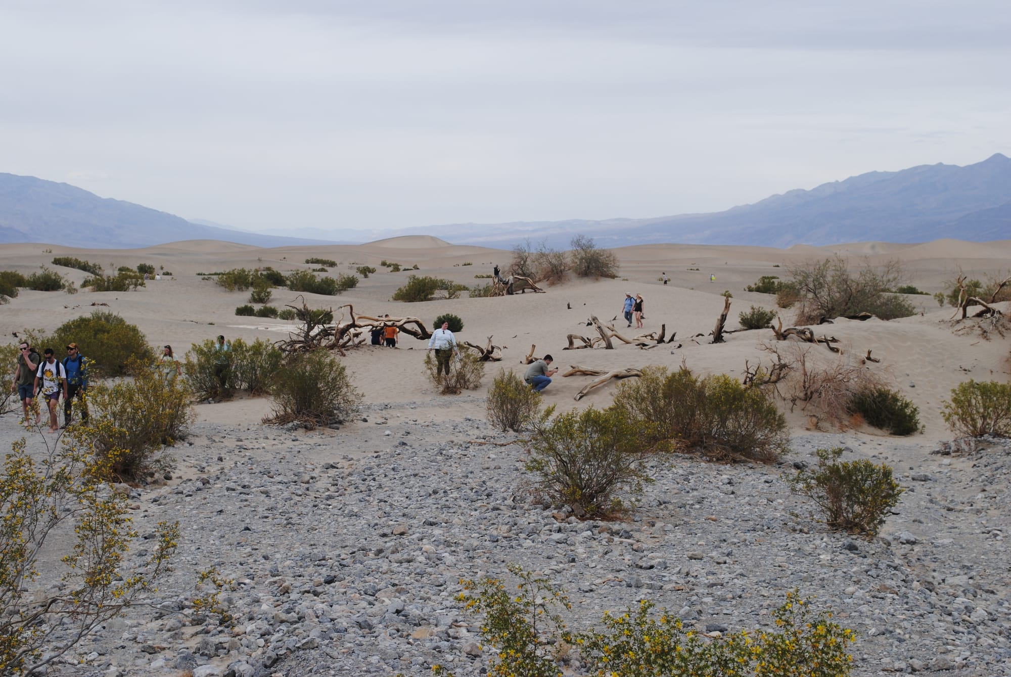
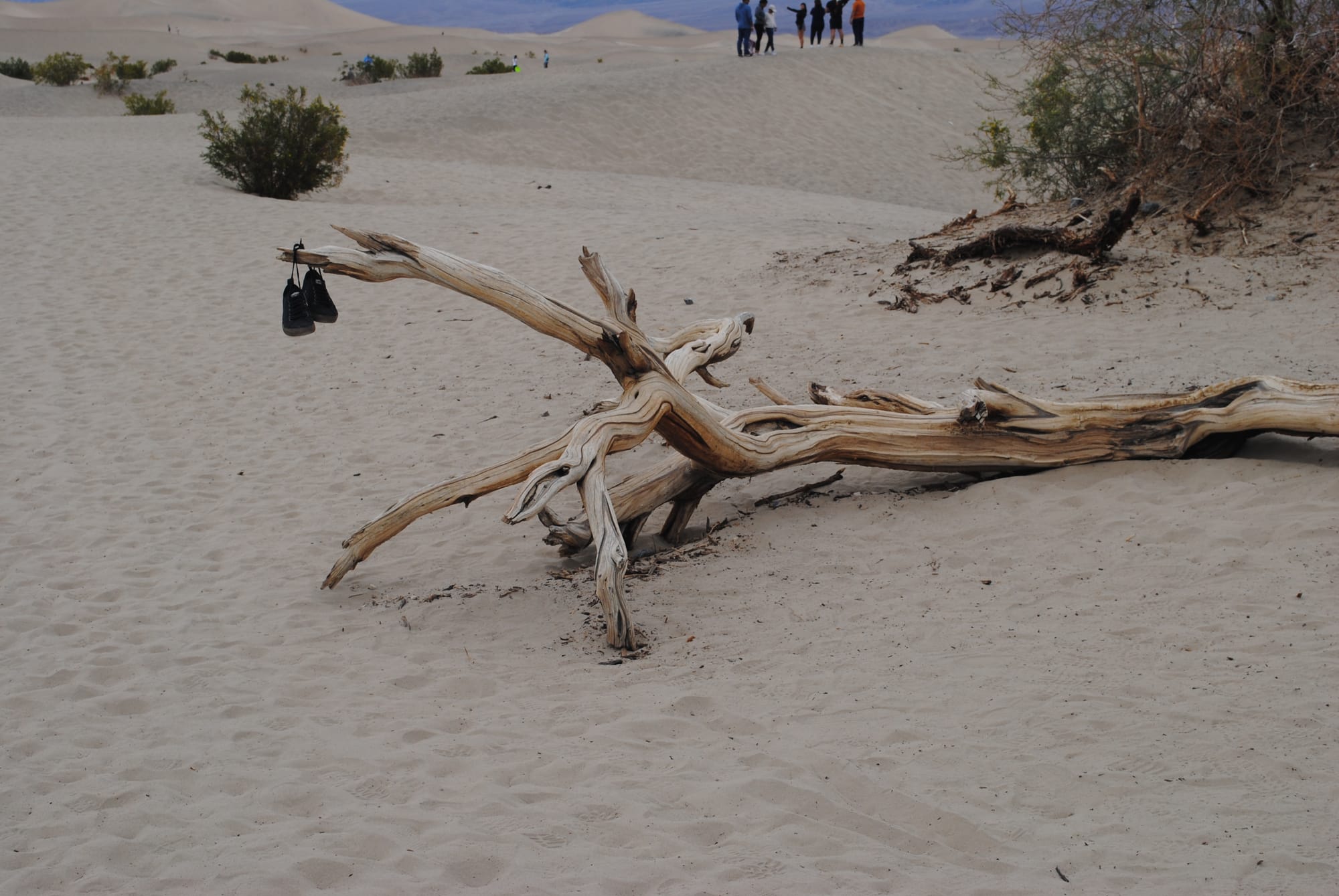
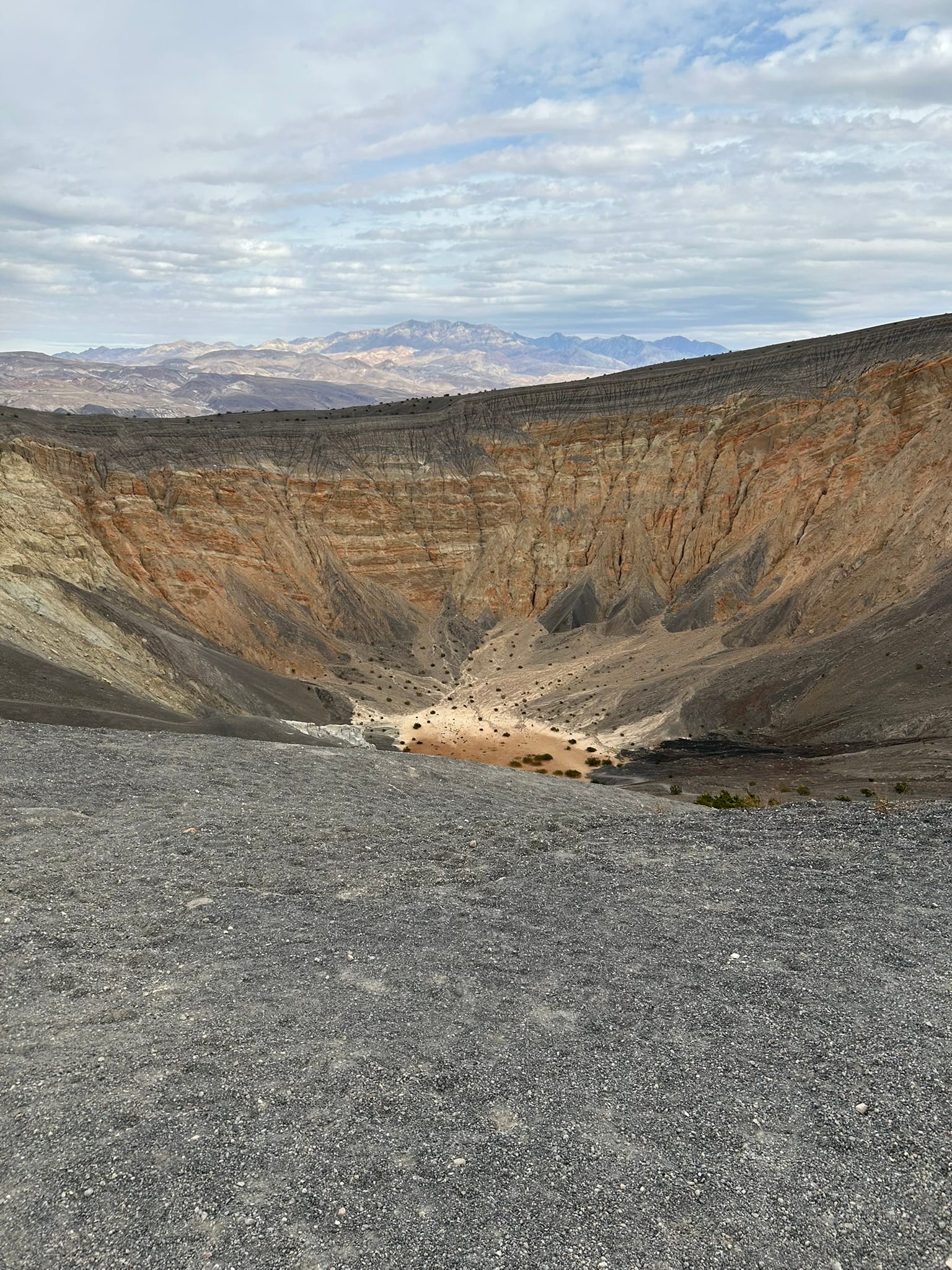
Mosaic Canyon, Mesquite Dunes and Ubehebe Crater
Hoover Dam and Lake Mead, NV
We decided to backtrack to the Hoover Dam and Lake Mead and see the sights there. It was only about 30 minute drive and we exited for the dam. The first thing we came up on was a scenic overlook for Lake Mead which was nice but you couldn’t see the dam or the new bridge from there so we moved on. We exited the highway for the dam and had to pass through security before we could get there.
I got a little nervous because I had my pistol, 5 gallons of gasoline for the generator and about 50 gallons of diesel in the reserve tank. I probably looked like I could be trouble but we got through no problem. He asked if we had a gun or drone and I told him I had a pistol and was a concealed carry holder. He told me to leave it in the truck and sent us on our way. We went down the hill to the first stop which was for the bridge walkway, parked and climbed up to the path out on the bridge. It was incredibly high off the ground! I’m not too proud to say it spooked me a bit especially when I got close to the rail to look down! Man, what a view though! The hills/mountains in that area are a geologist’s dream! They are so amazing and seemed so raw and unweathered with sharp corners like they were newly minted. It was cool to see!
After we walked back from the bridge we went back to the truck and continued down the hill to drive across the Hoover Dam which was really cool to see close up and gave us a spectacular view of what little was holding us up just a few minutes ago on the bridge! The construction of that bridge is amazing to see!
After driving across the dam and back we drove into Boulder City and almost immediately saw a bunch of wild Big Horn Sheep along the road so we stopped to take some pictures. They didn’t seem to be afraid of humans and some were tagged. We also drove through historic downtown Boulder City which was very cool to see. Overall, it was a really interesting day!
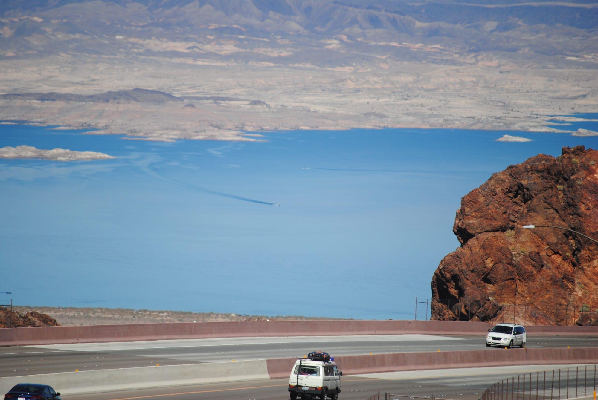
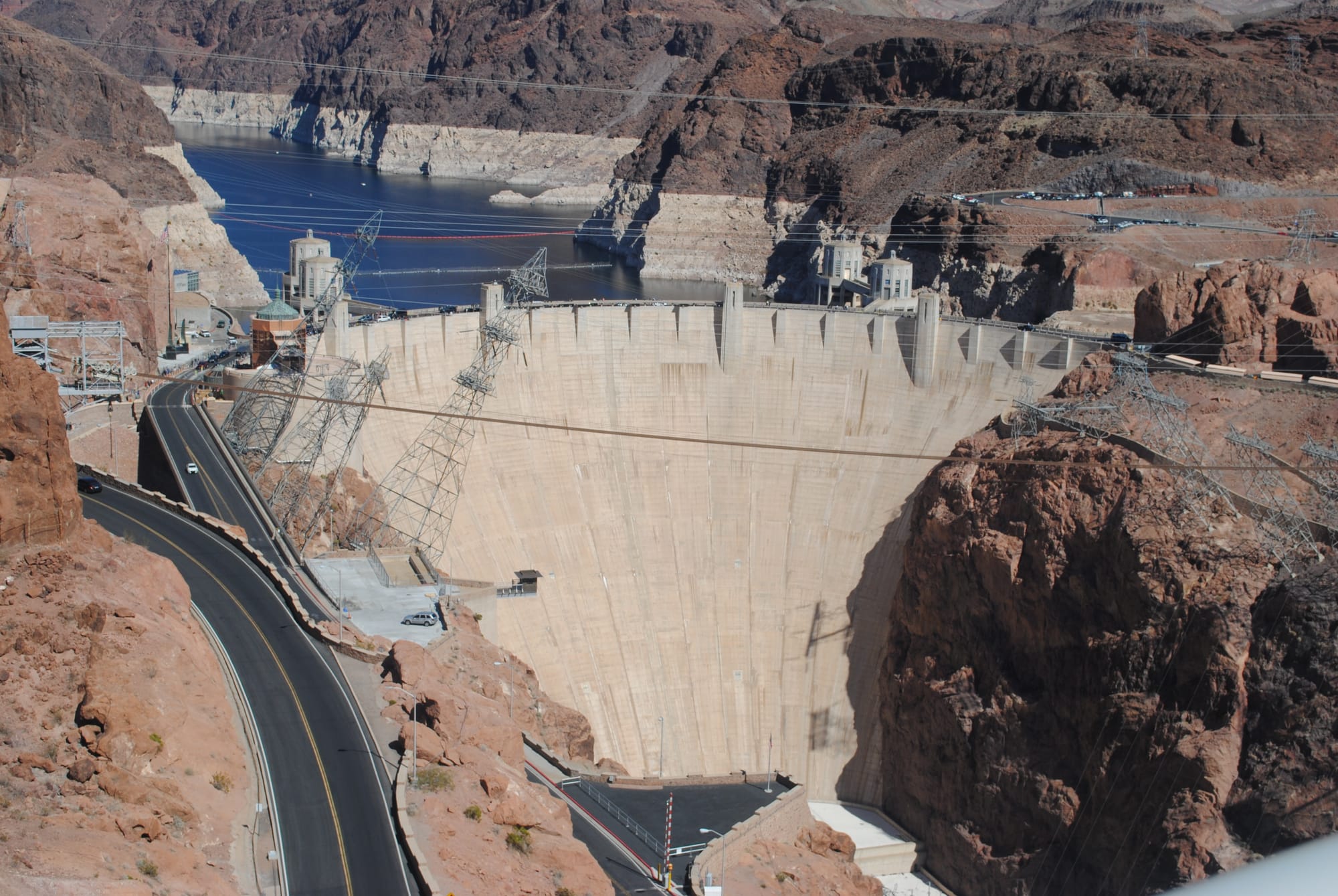
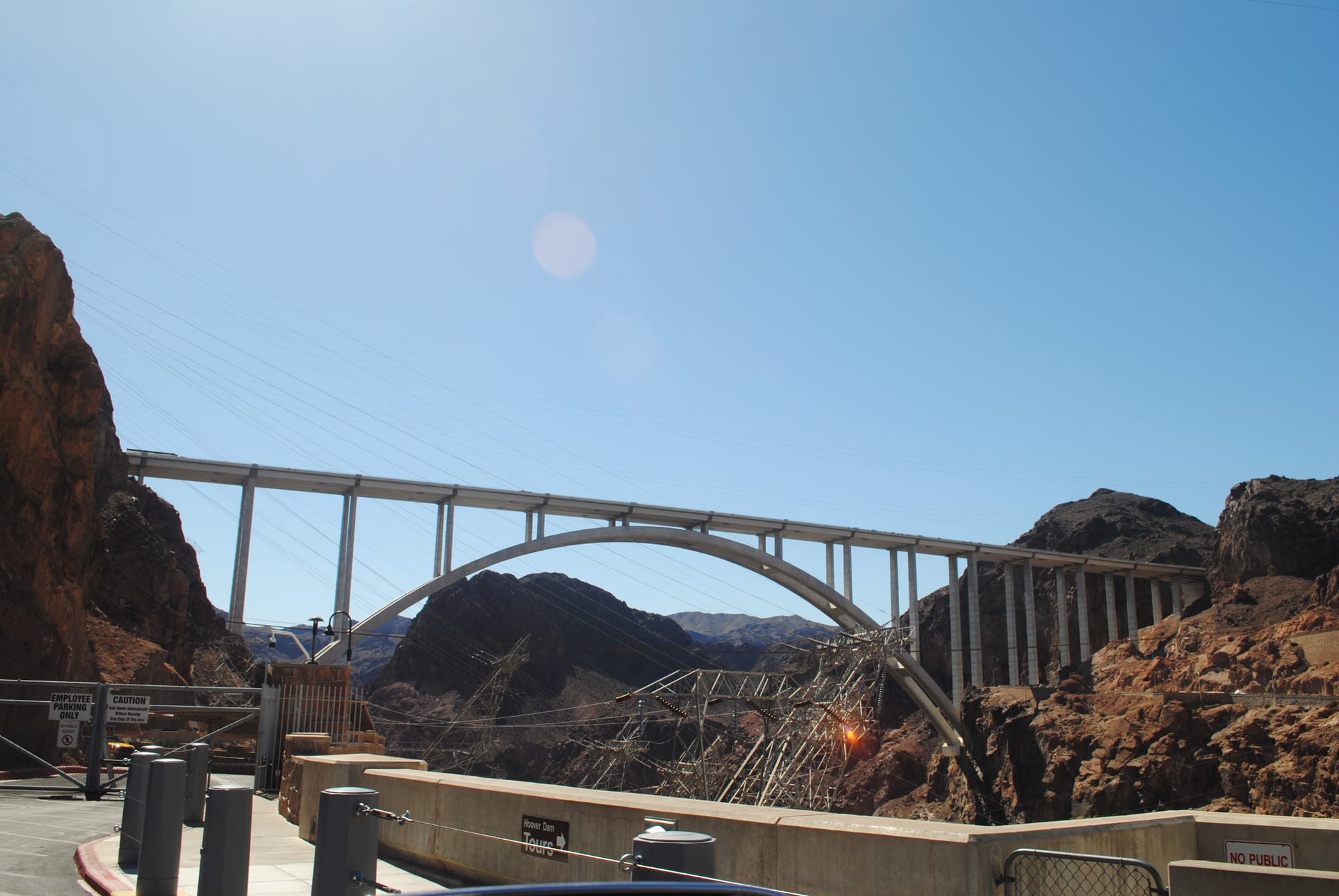
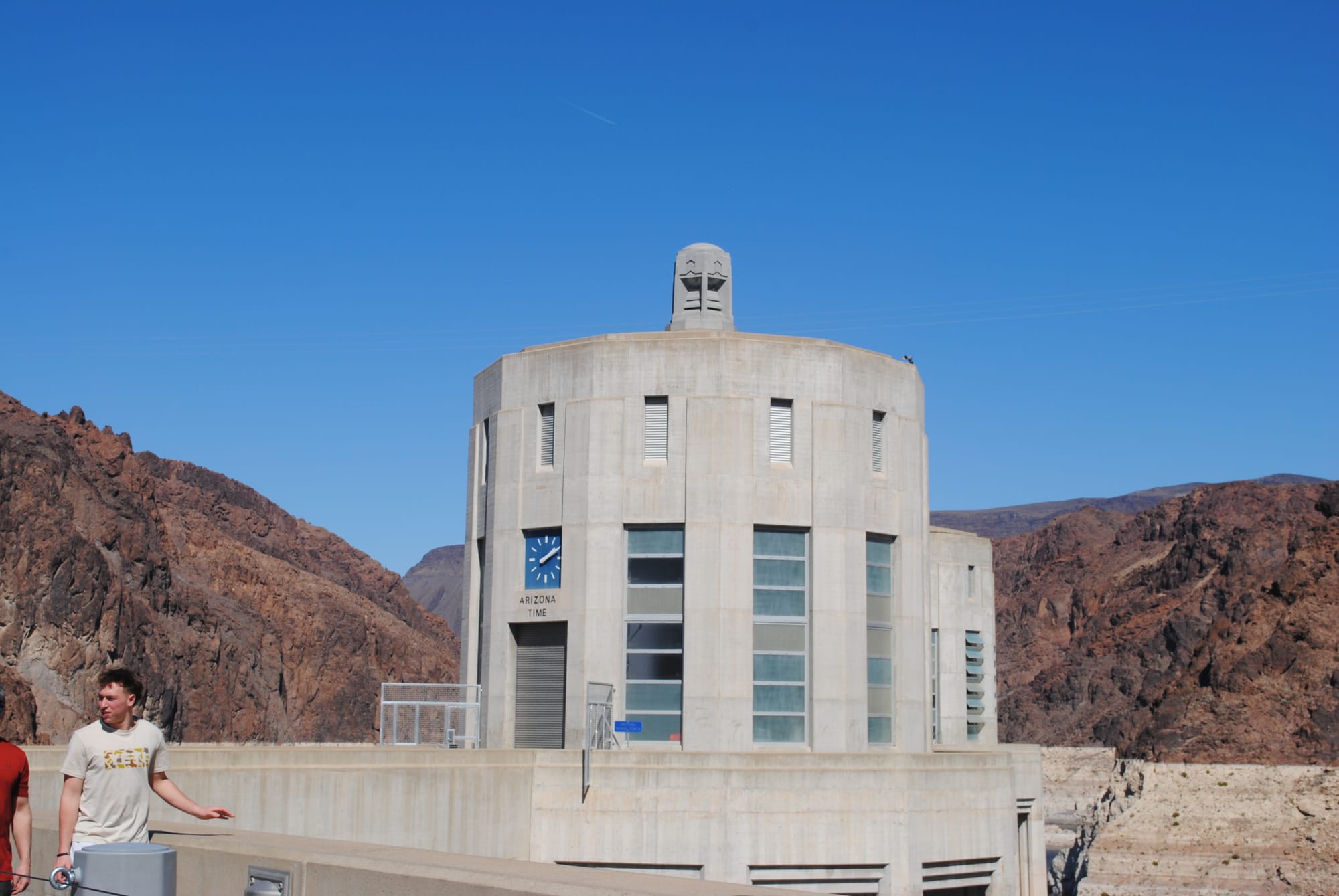
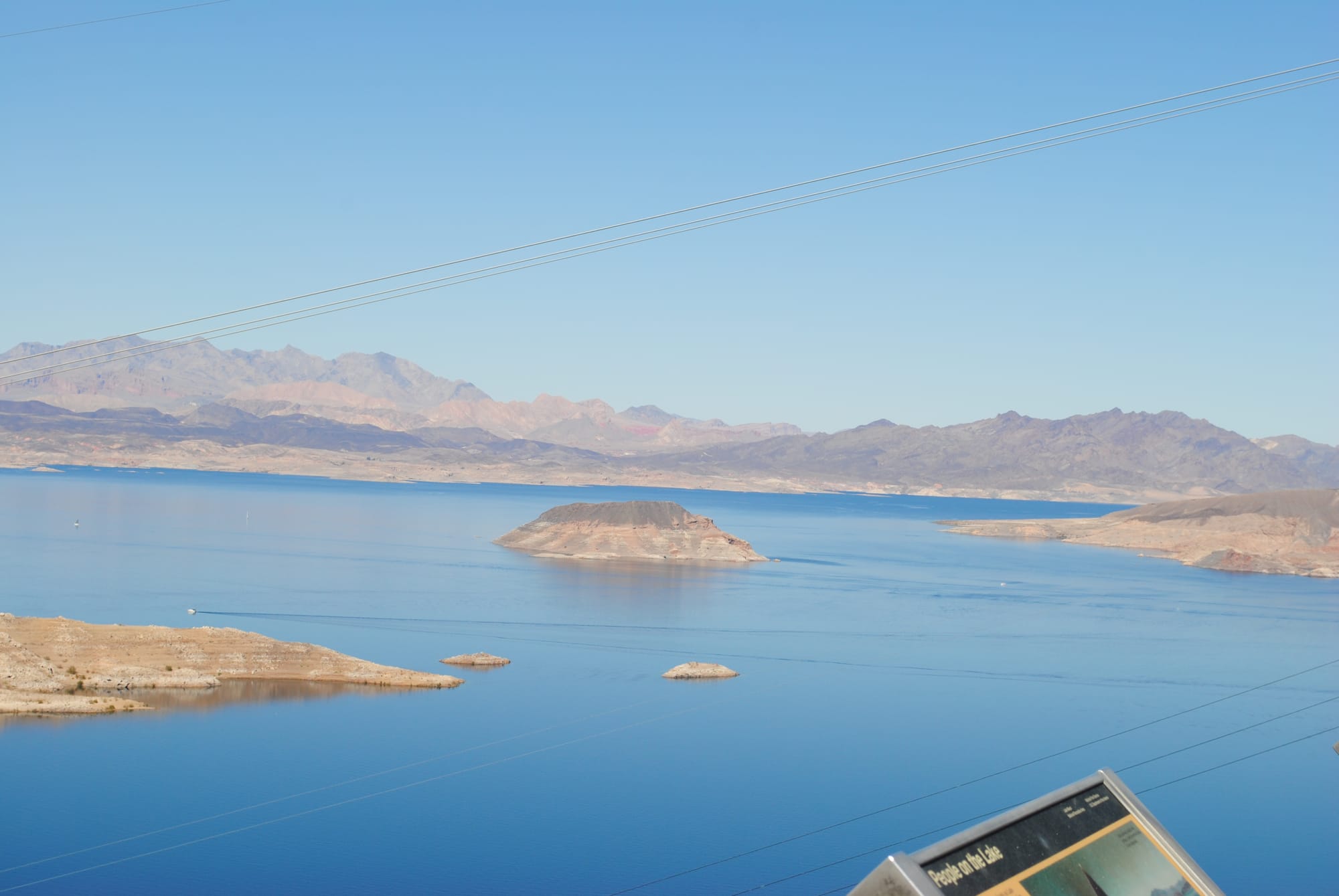
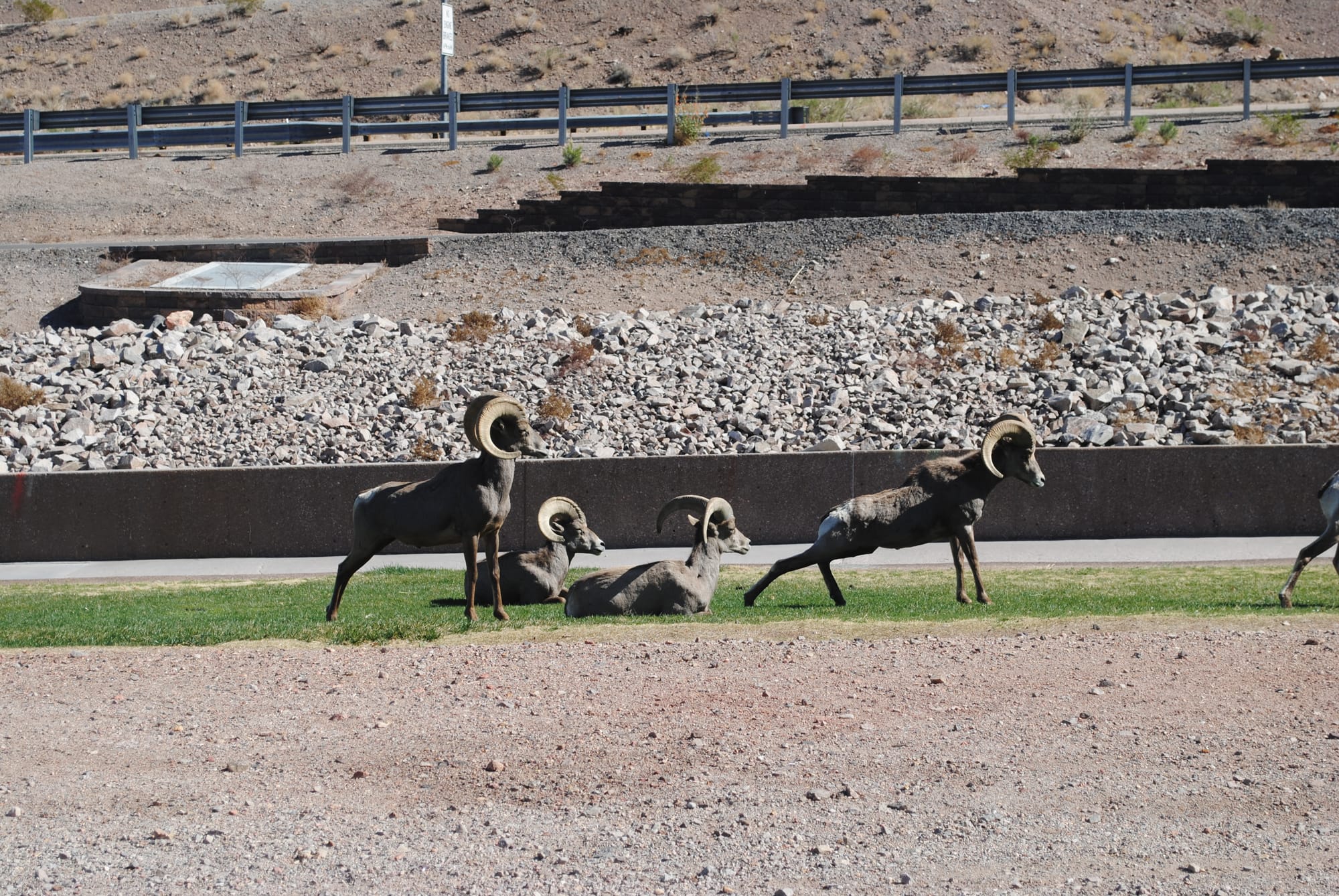
Hoover Dam and Lake Mead
Red Rock Canyon National Conservation Area and Spring Mountain Ranch State Park, NV
Today we thought we would go to Red Rock Canyon National Conservation Area to go on the scenic drive that a friend had told us about. Red Rock Canyon is a portion of the mountains due west of Las Vegas. As you approach the mountains, you can see a large area of red rock that has been uncovered by erosion much like Sedona, AZ. The mountains backstopping the red rocks are amazing in and of themselves. They look like they shot up out of the ground and have amazing sheer cliffs. It’s all amazing to see if you are into geology like I am!
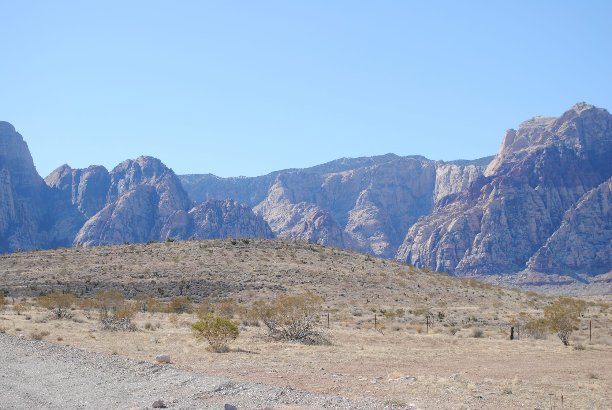
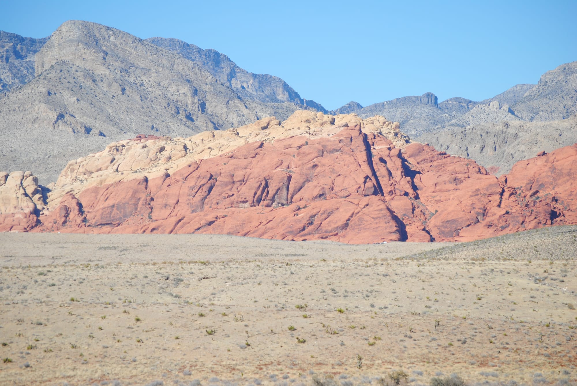
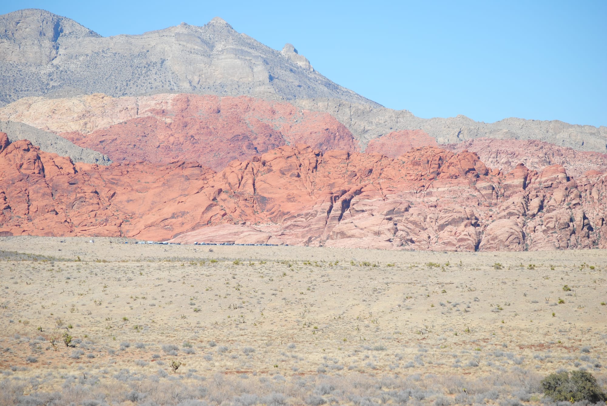
Red Rock Canyon
Unfortunately, we found out after arriving that you have to have a reservation to go through the scenic drive and there weren't any available for several days. Instead, we took a drive further out the road to Spring Mountain Ranch State Park which is snuggled up right next to the beautiful mountains we had been admiring the whole drive. It’s an old ranch previously owned by a German actress that used to be part of the old Spanish Trail going west. It was a beautiful site and the photos don’t do it justice. There are several moderate hikes around the foothills of the mountains to explore.
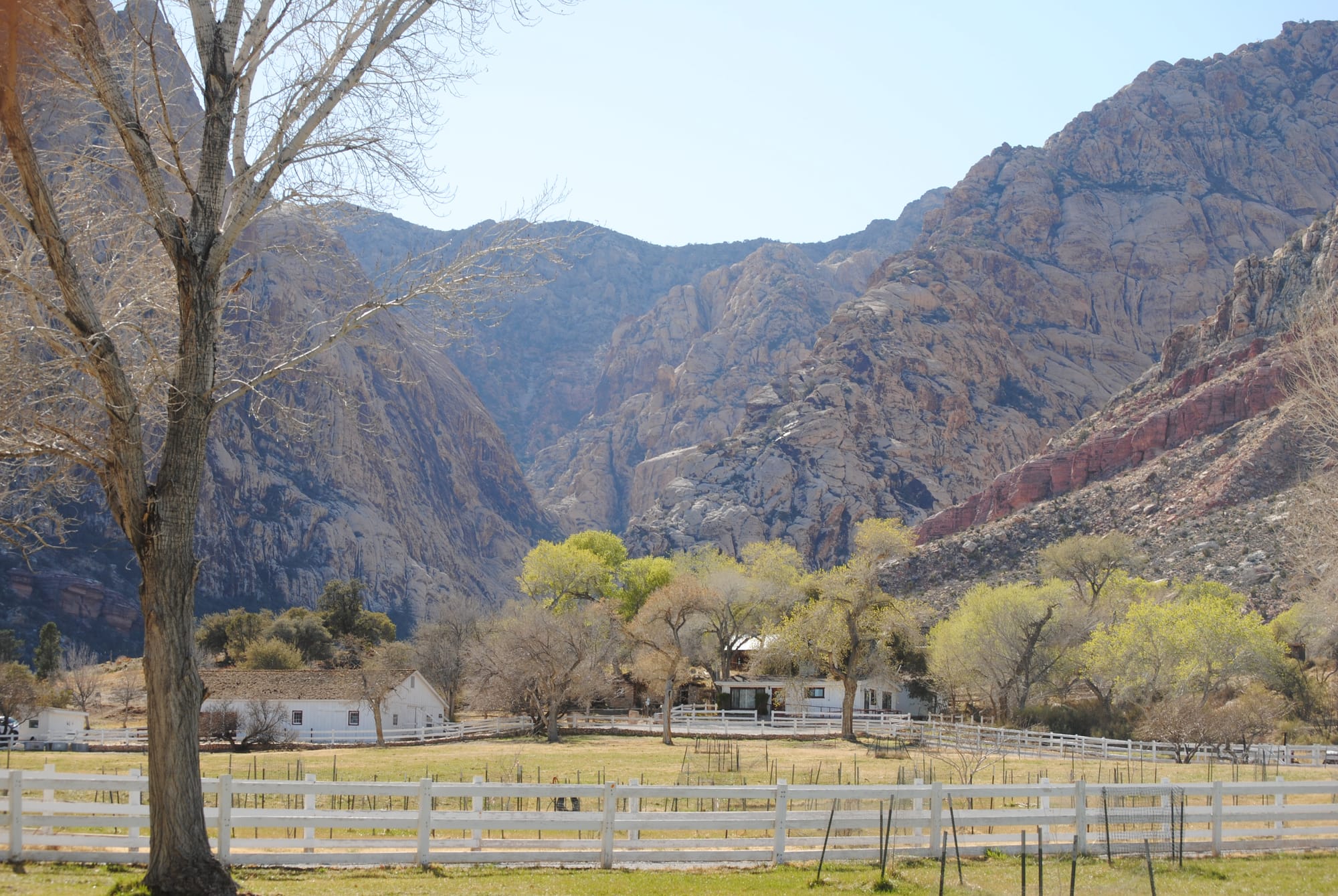
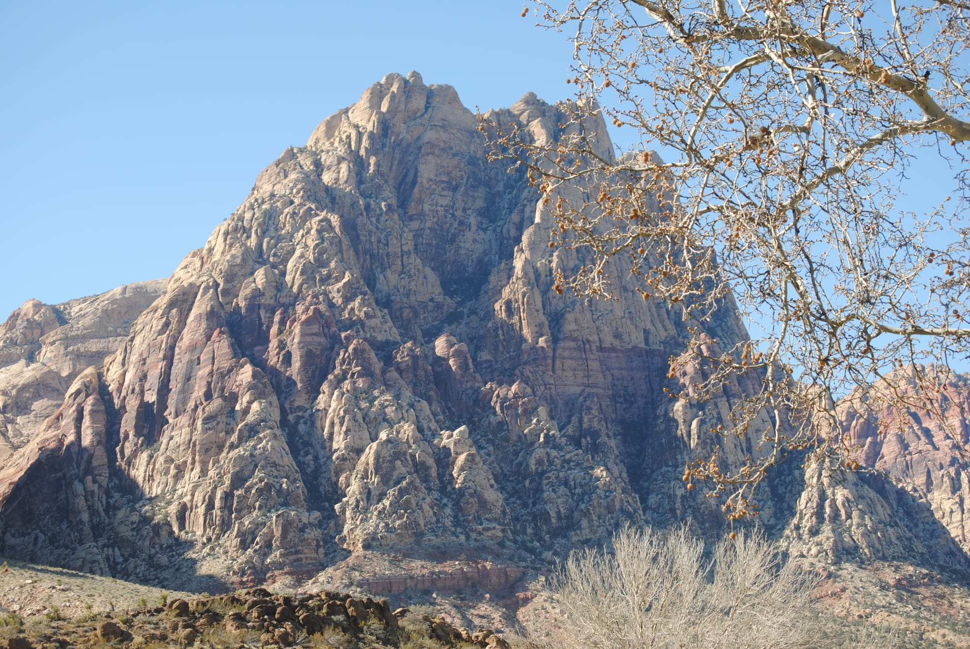
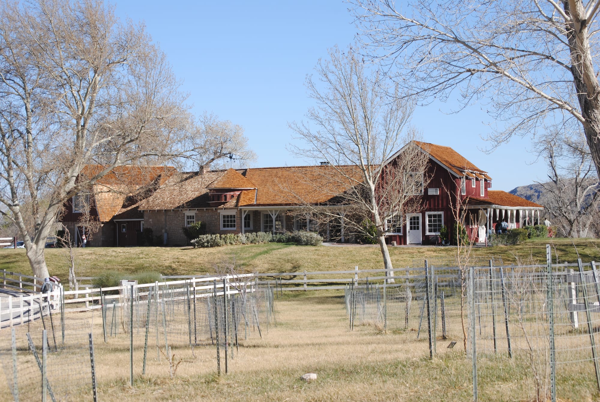
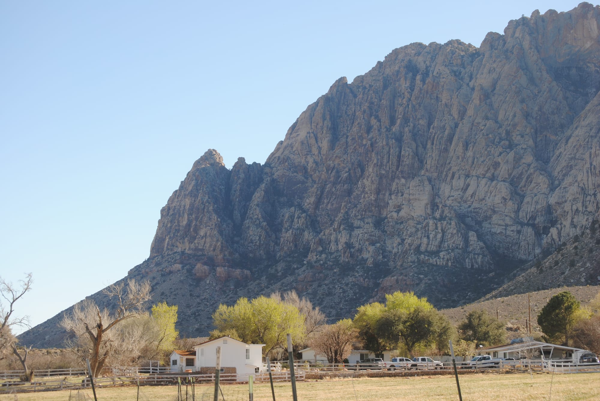
Spring Mountain Ranch State Park
Las Vegas, NV
We awoke this morning to light rain that began about 3 am and it continued all morning. For the first time, we had to pack up everything in the rain for our trip to Las Vegas. I broke out our rain ponchos and cleaned everything up outside. Right as we were getting ready to hook up the truck the rain turned to snow. While that was an improvement in being outside, it didn't portend well for the drive.
We had heard that Flagstaff was supposed to get up to a foot of snow and Prescott area was supposed to get 1-3 inches so we decided to go southwest to Prescott and then northwest to pick up I-40 for the journey into Las Vegas hopefully going around the worst of the weather. As we climbed the hills on I-17 outside Camp Verde the ground began to get covered with snow and as we continued towards Prescott the snow was coming down very heavily. It made for a beautiful drive but we couldn’t see more than about a quarter of a mile in any direction. For the most part the roads remained wet but not slippery as the temperature hovered around 32 degrees the whole drive but there was enough retained heat from previous warm days to keep the road from icing over. We did hit patches of thick slush that slowed us down a lot. This was my first time driving in real snow. I had driven in some flurries on our Pennsylvania trip but only for an hour or so and it never stuck to anything.
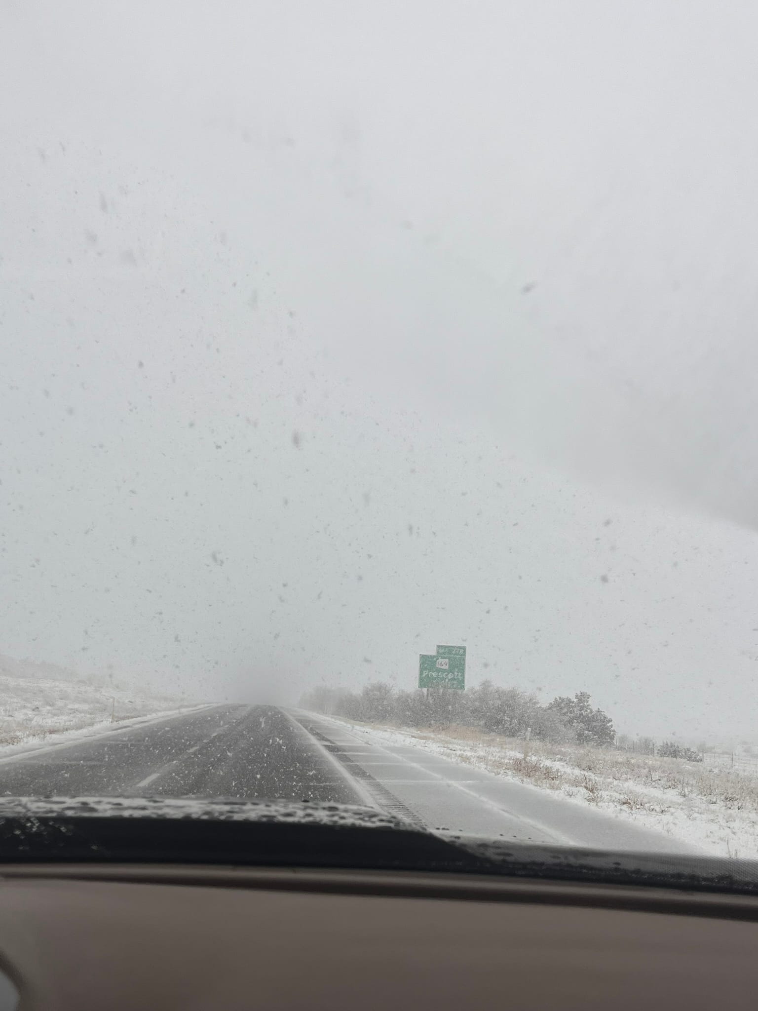
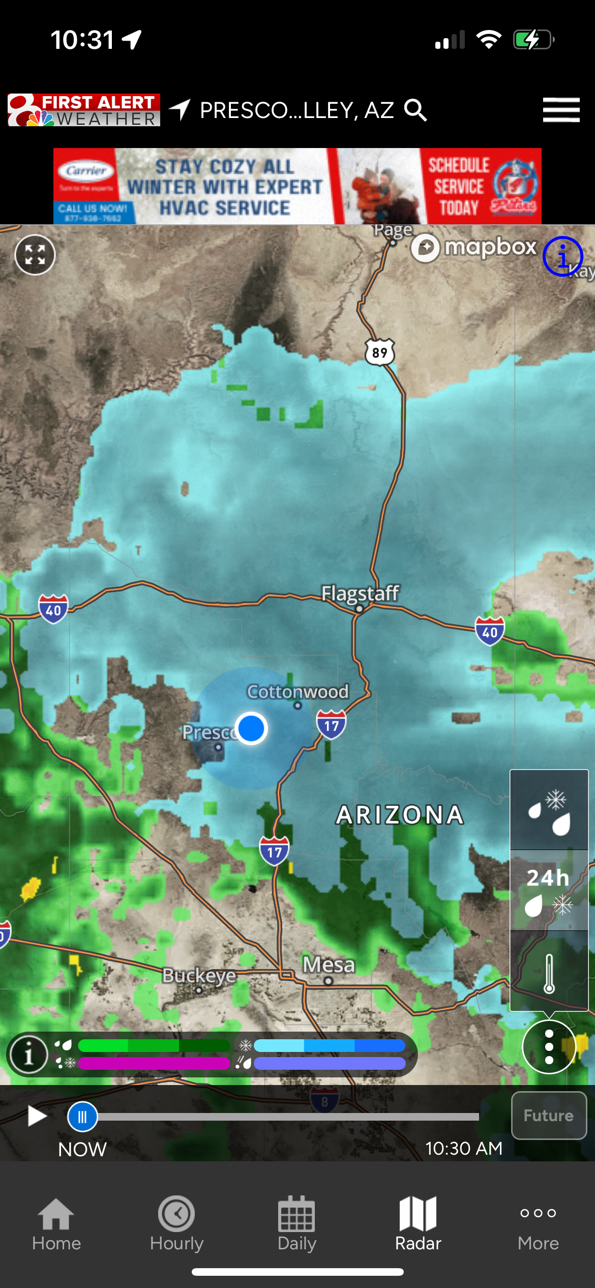
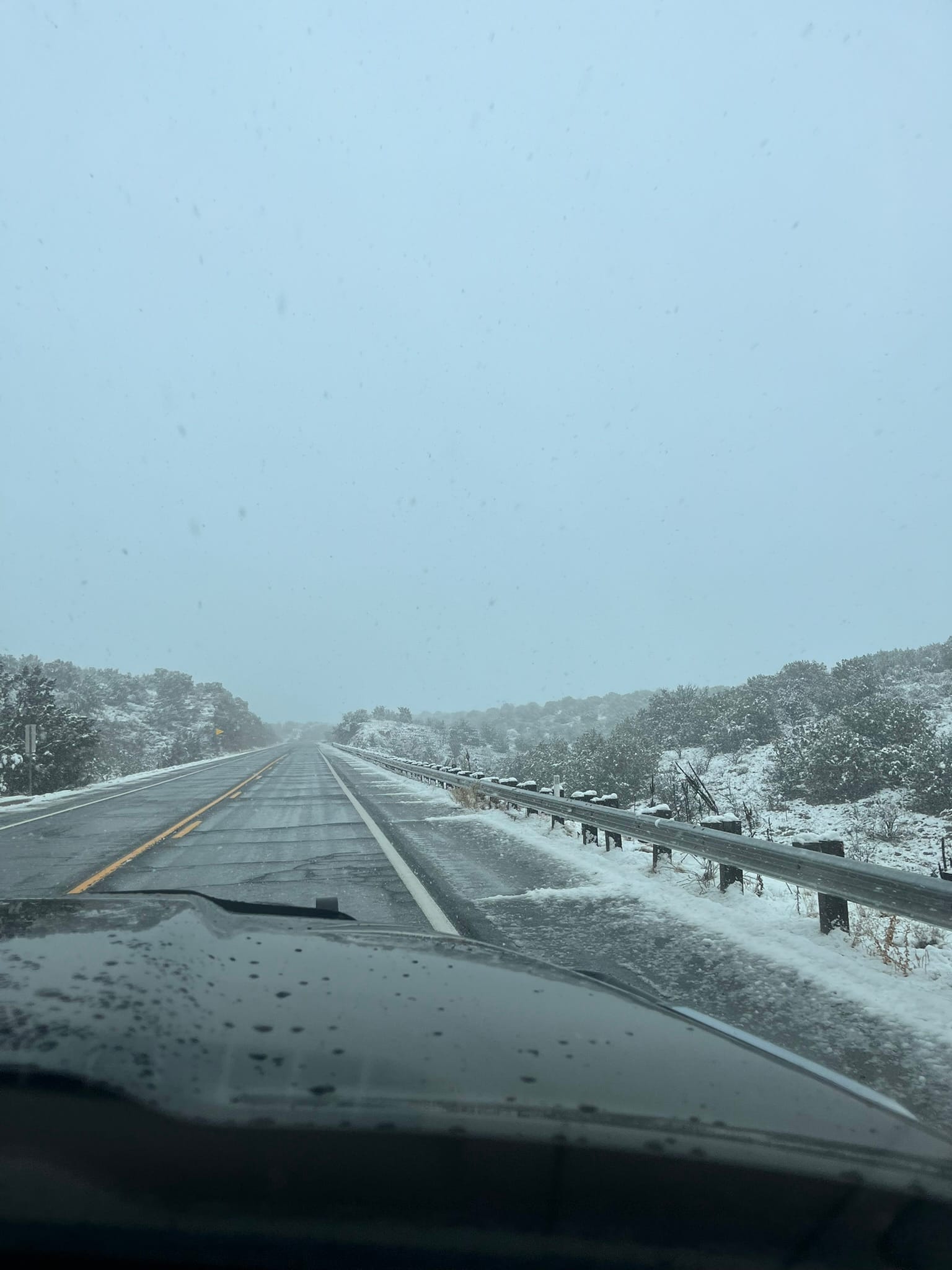
In Prescott, we turned north on Hwy 89 and the snow continued to come down. Most of the roads were wet with some areas being snow covered but still not slippery. We got to I-40 and turned west only to discover that parts of I-40 only vaguely resembled a road. By the time we got to Seligman the snow had stopped and we drove out of the rain shortly thereafter. In Kingman, we turned off I-40 on Hwy 93 towards Las Vegas which took us across the new bridge near the Hoover Dam which actually makes it impossible to see the dam. The first 20 miles or so of Hwy 93 was like a reverse form of Frogger where we had to dodge the never ending potholes! What a pain!
We got into the Oasis RV Resort just off I-15 and while Kim went in to finish registering us, I heard one of our water sensors going off so we had water leaking in the rig somehow. We got to our site and set up camp and pulled everything out of the pass-through compartment so we could get back in to see what had happened and noticed that some water had dripped on top of the sensor. We still don’t know where that water came from. We also had water dripping out from under the RV where we had cut the Coroplast to put up some insulation. We've seen that before after driving in the rain so we thought might have blown up on the bottom and may have gotten inside. After we had hooked everything up, the alarm went off again this time due to a leak where the hose connects to the control panel. Once again, everything came out and we had to dry the inside to prevent any damage. Note to self: be sure there’s no drip dummy! On a positive note, the Govee water sensors were paying for themselves!
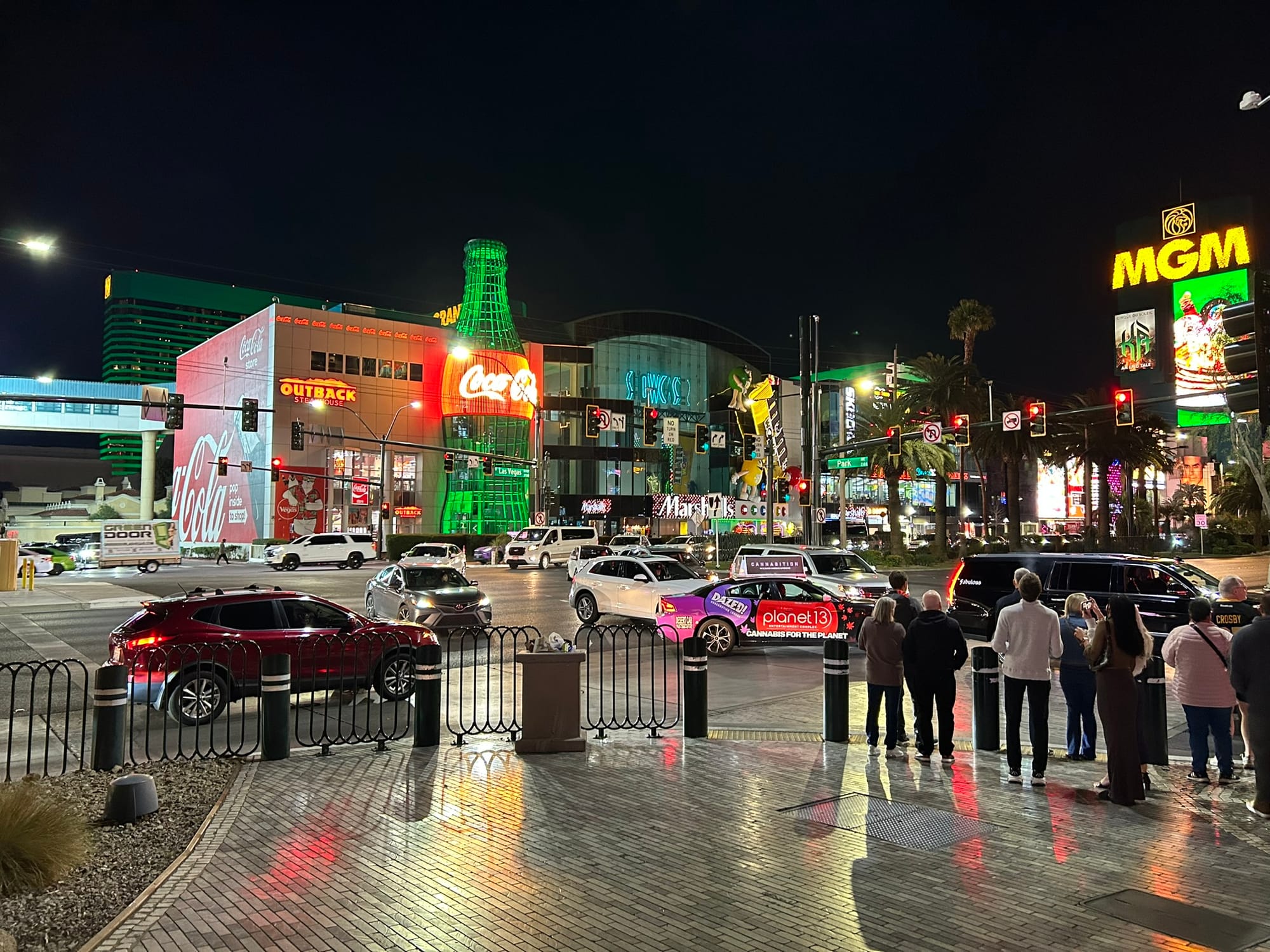
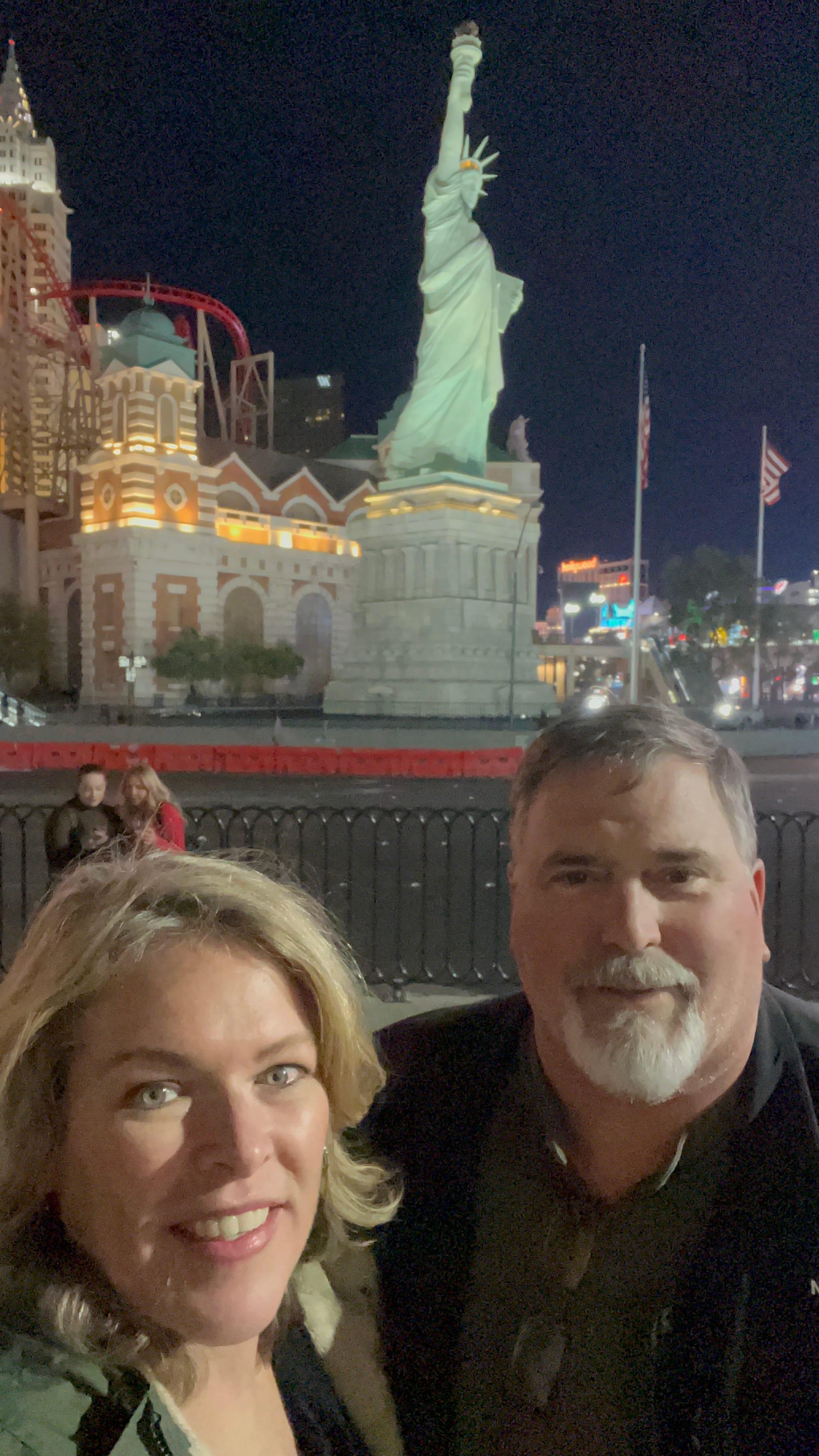
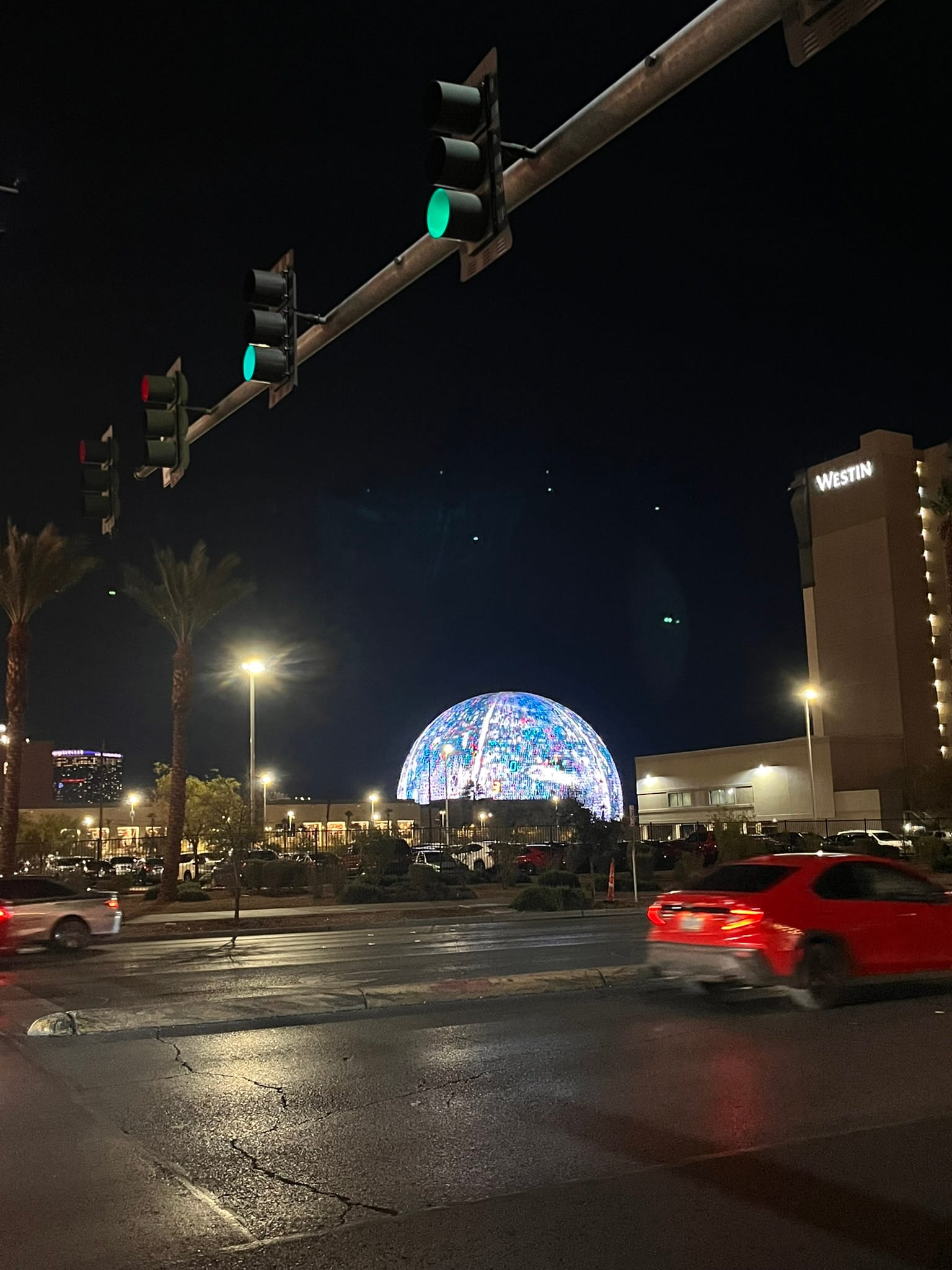
We took an Uber to the strip which is just a couple miles due north of our campsite. We walked around a few casinos, gambled a little and got some food. We walked through Luxor, Excalibur, New York, and Paris. We walked up the strip for a bit to watch the fountain show at the Bellagio and then walked over to see the Sphere after which we got a taxi ride back to the campsite.
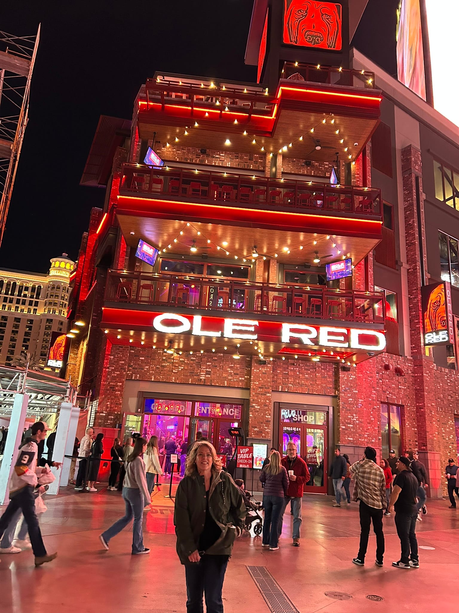
Las Vegas sure has changed since the last time I was there nearly 26 years ago. Last time we visited, the road was only 4 lanes wide and there was room between the casinos. Now it feels like every inch is filled and the road is 6-8 lanes wide and completely filled with vehicles! There are stores and restaurants filling the gaps between casinos. There’s a Ross and an Outback Steakhouse for example filling in the block and lit up like casinos! We came around one corner in front of Ole Red and off to the right was a low concrete, very plain looking building filled with food vendors that looked very out of place there. I guess not everyone can eat at casinos all the time!
Tuzigoot National Monument, AZ
Today, we did some chores around the RV in the morning and then decided to go over to Tuzigoot National Monument near Cottonwood and Clarkdale, AZ. Tuzigoot is a pueblo “town” on top of a small hill near the Tuzigoot river. Tuzigoot is an Apache word for “crooked water”. The pueblo is a two story, many roomed homestead inhabited for several hundred years from about 1200 to 1400 before it was abandoned for some reason.
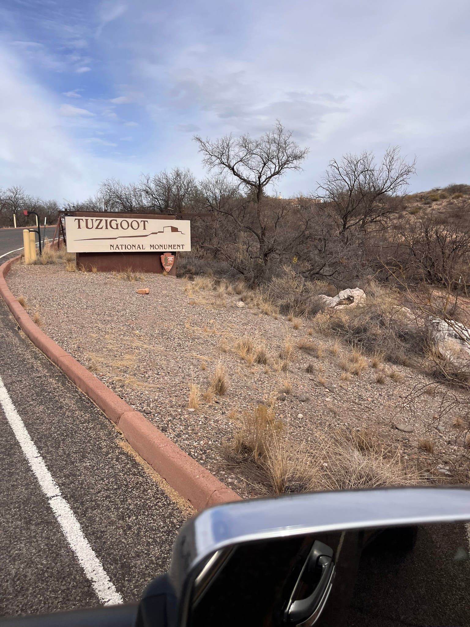
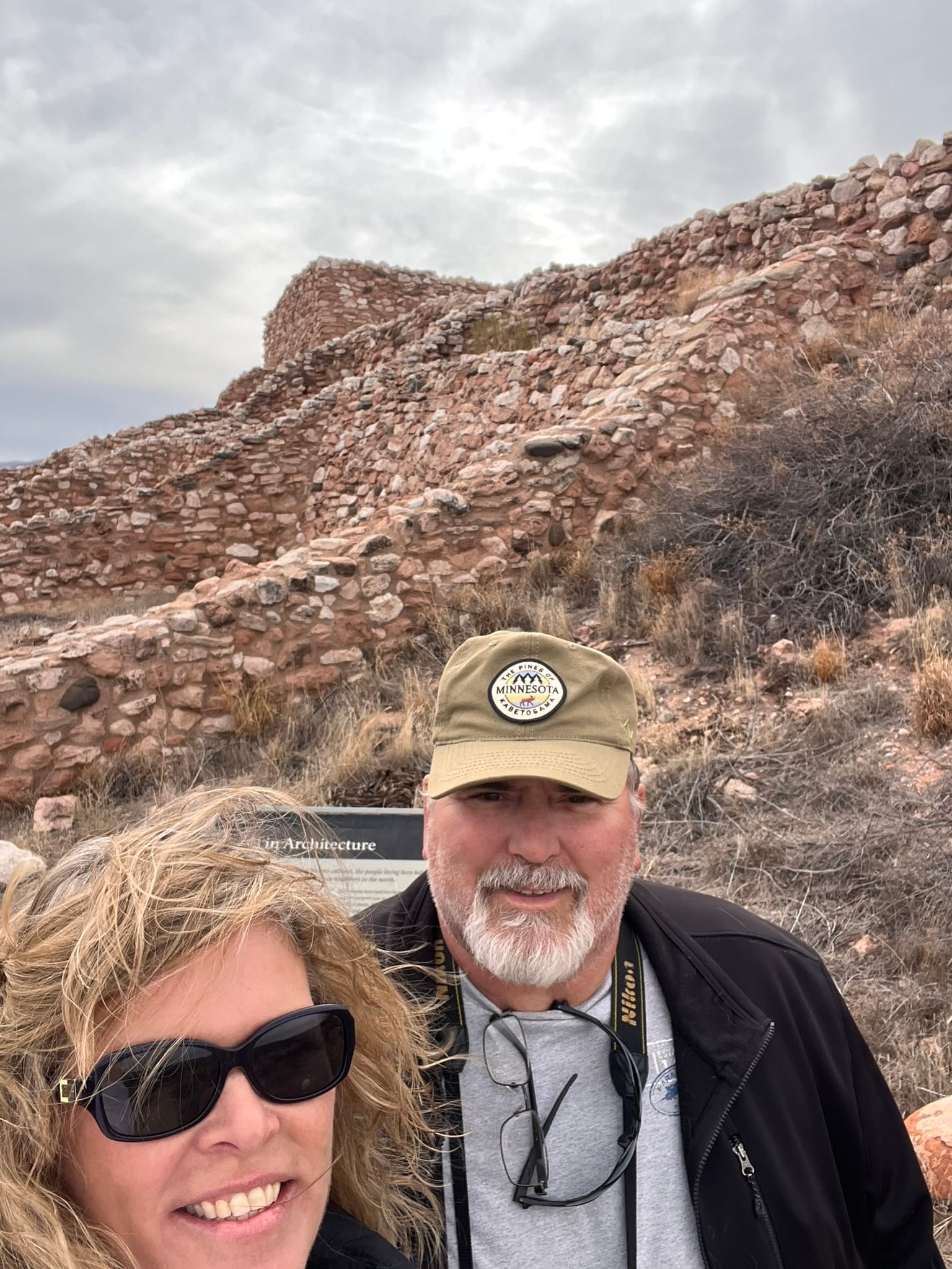
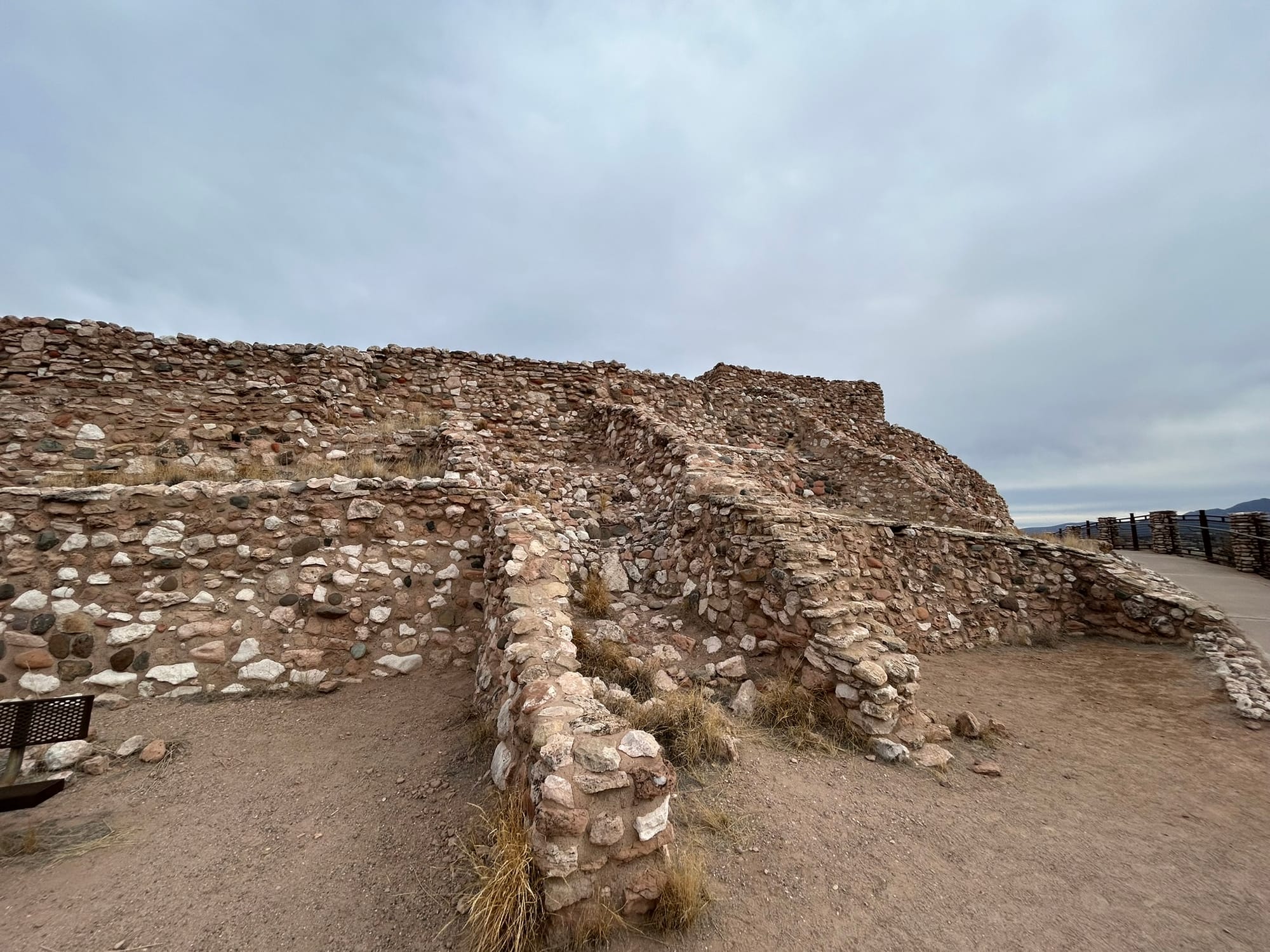
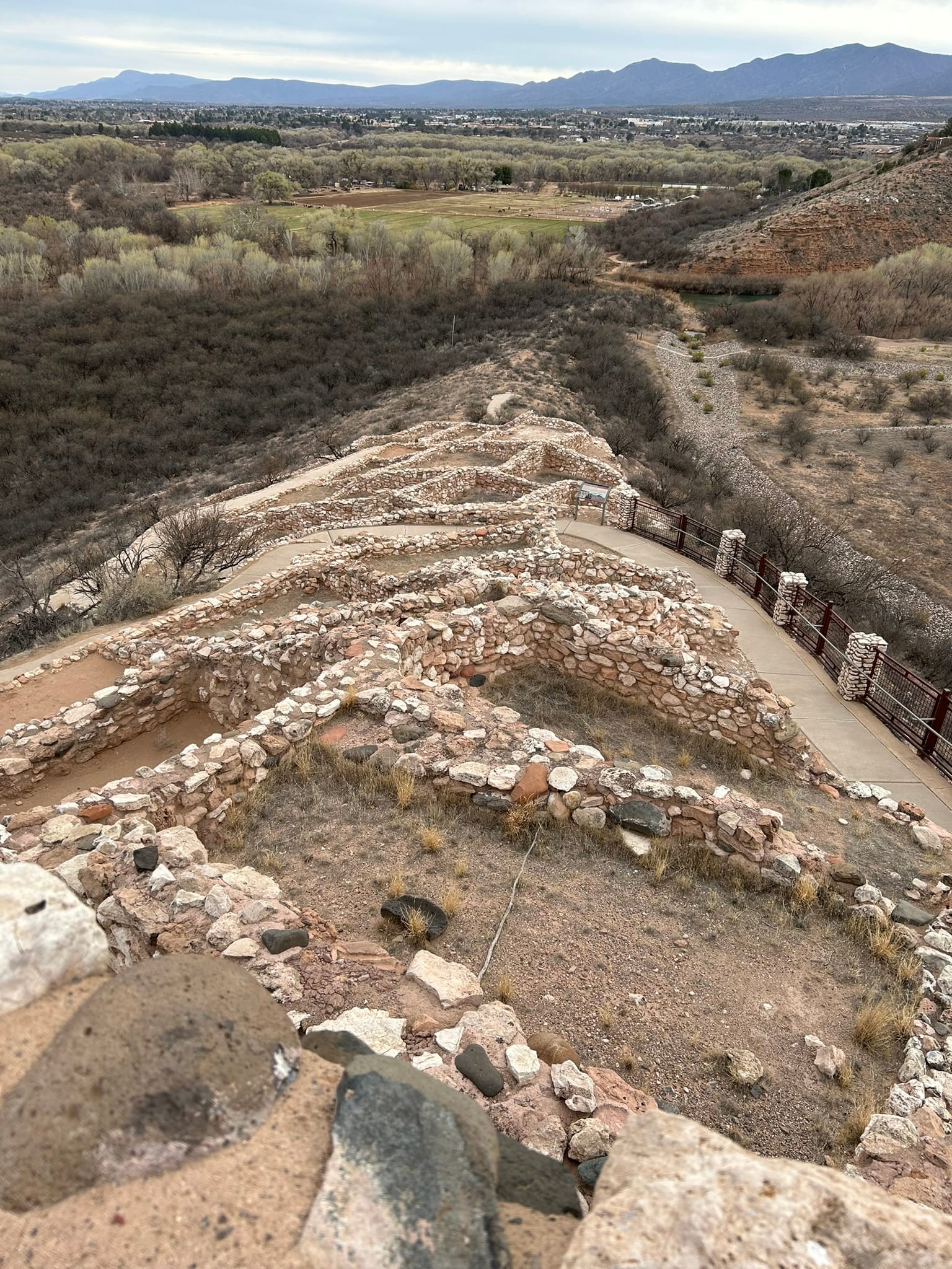
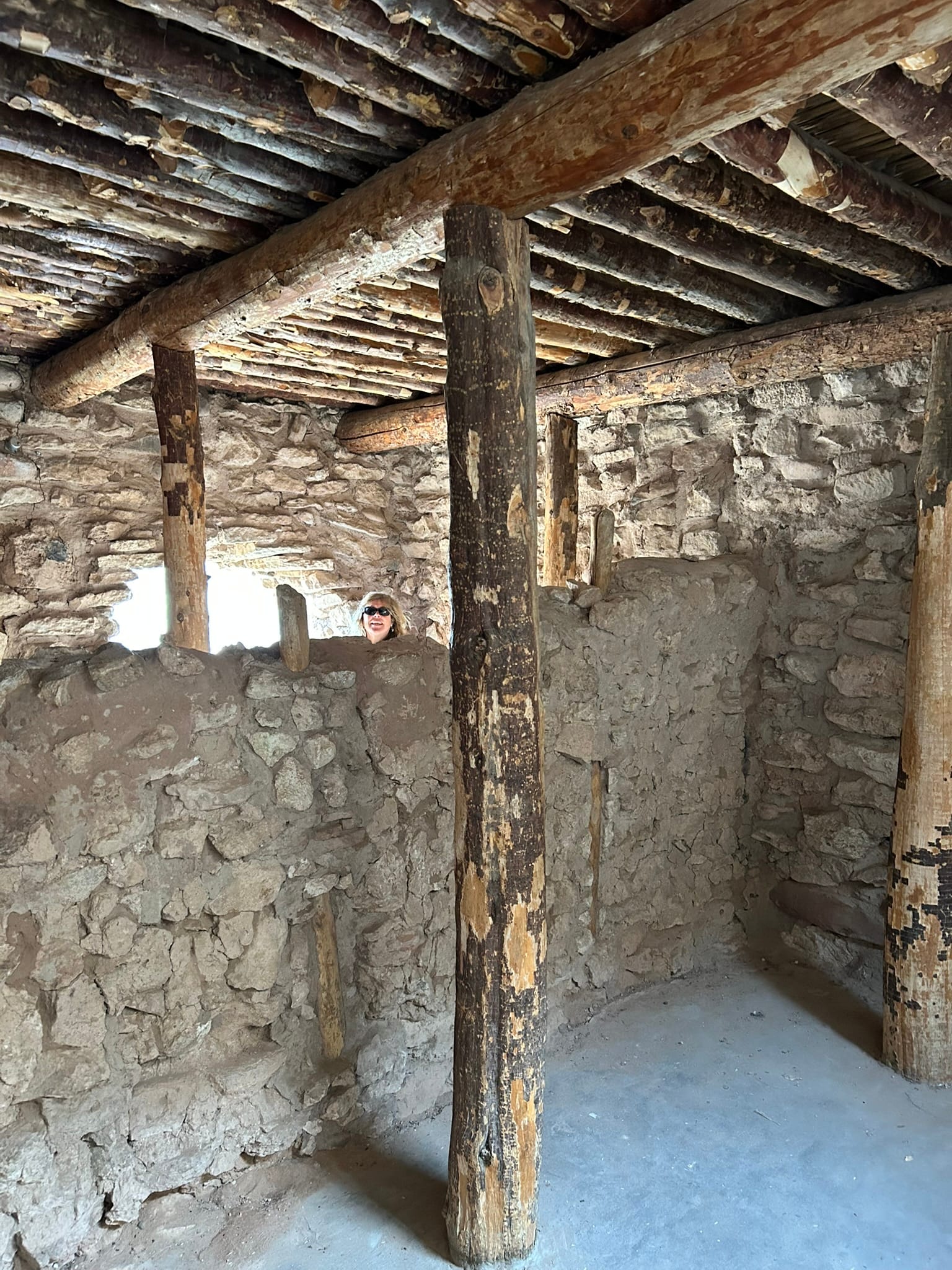
Tuzigoot National Monument
Sedona, AZ
Today we drove into Sedona and rented an ATV to drive some of the local trails. The drive into Sedona was very picturesque. It’s amazing how beautiful Sedona is compared to the surrounding desert. As you approach Sedona, you can begin to see a thick red layer of rock in the cliff walls in the distance but when you get closer the overlying rock has been stripped away and beauty of the red rock is revealed in all it’s glory. It appears to have thrust up from the desert floor in magnificent shapes and bizarre columns. My mind reels trying to figure out how the beautiful shapes came to be and what it must have been like for the first people to stumble upon the sights! I can see why so many people love it here and why so many feel like there’s something mystical about this place!
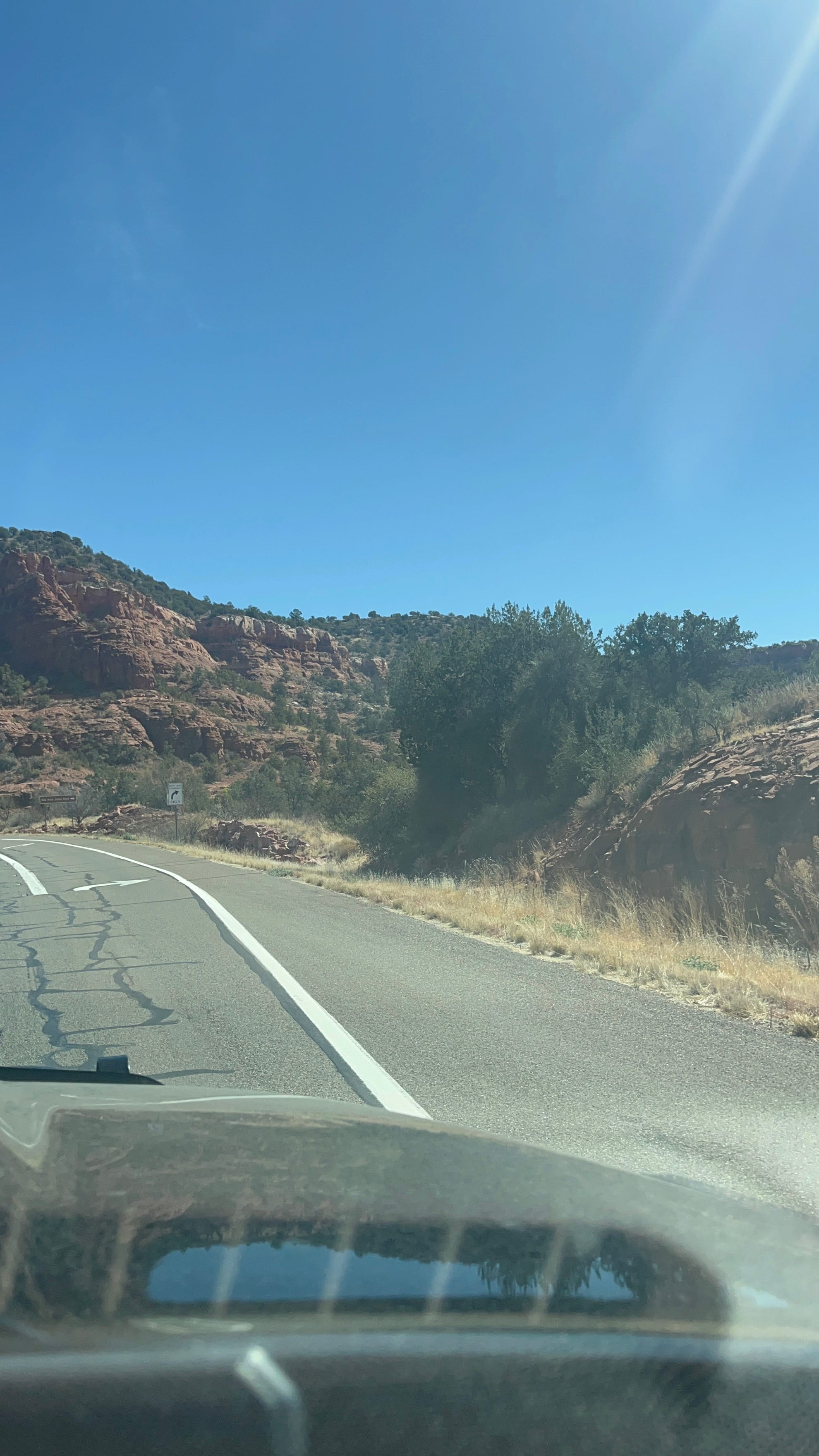
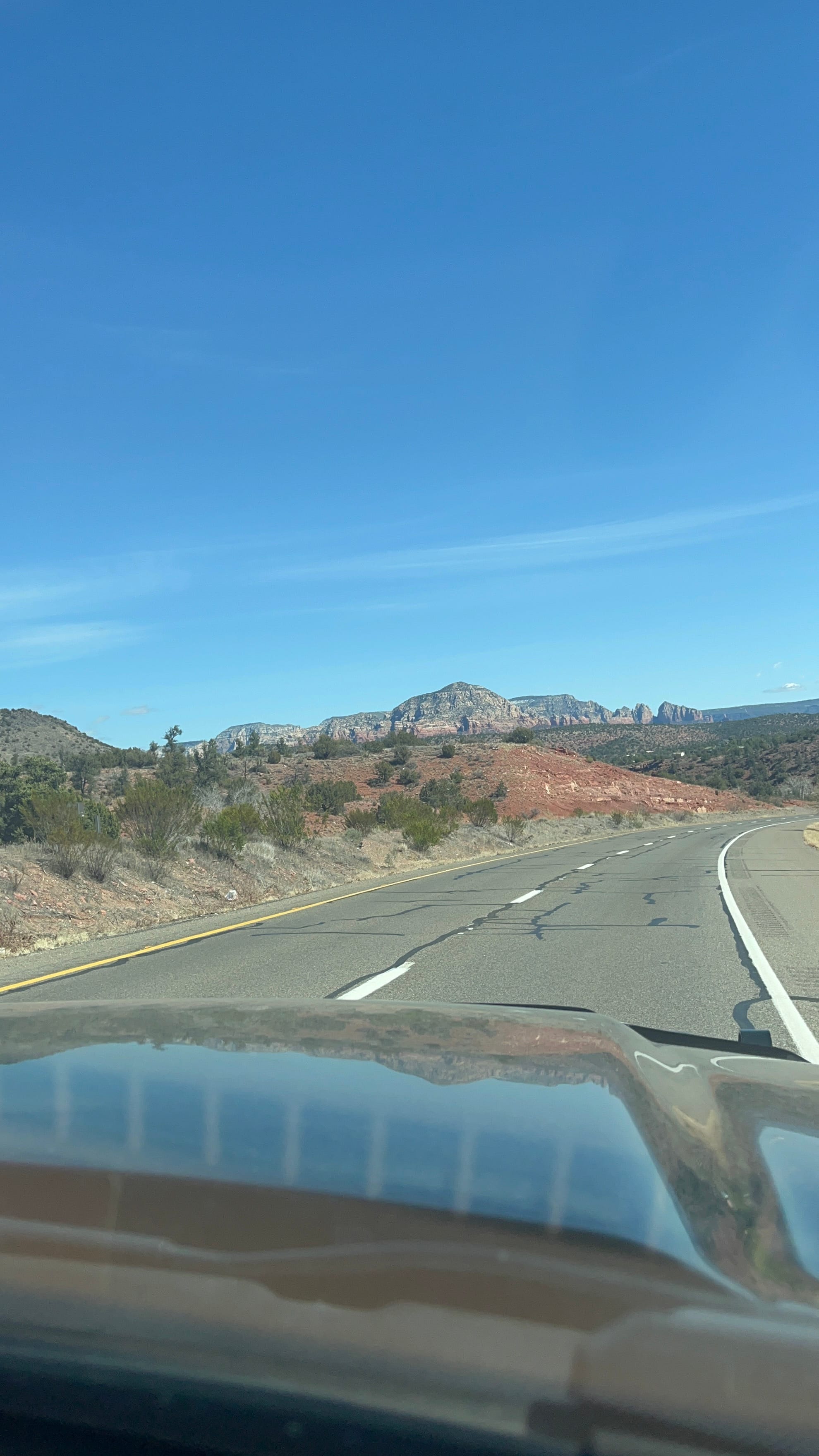
The drive into Sedona
We rented an ATV from Outback ATV Rentals for 4 hours and were able to go down 2 trails they recommended. It was weird to drive on the city streets until we got out of town and on to the dirt road and then the trails. The first trail meandered in front of some large red stone cliffs and was a little rough. It ended at an archaeological site called the Hononki Heritage Site with an ancient home built into the cliff similar to Montezuma Castle.
The second trail was very rough and was known for its "rock crawling". It went down into a steep creek bed and back out. It looked like there was no way we’d make it but the little Kawasaki ATV went right up and handled the rough ride very well. That's not to say the ride was smooth at all inside!
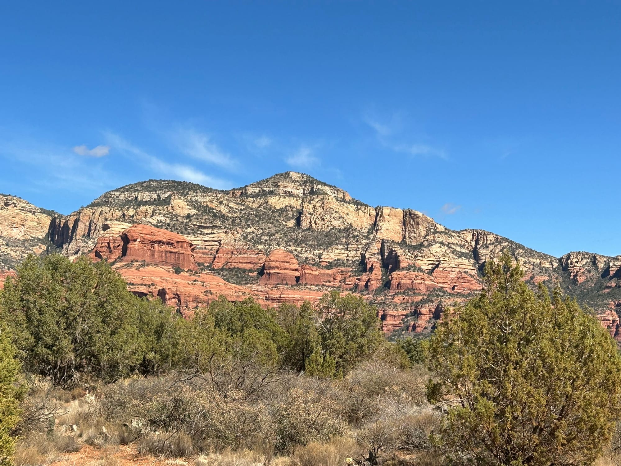
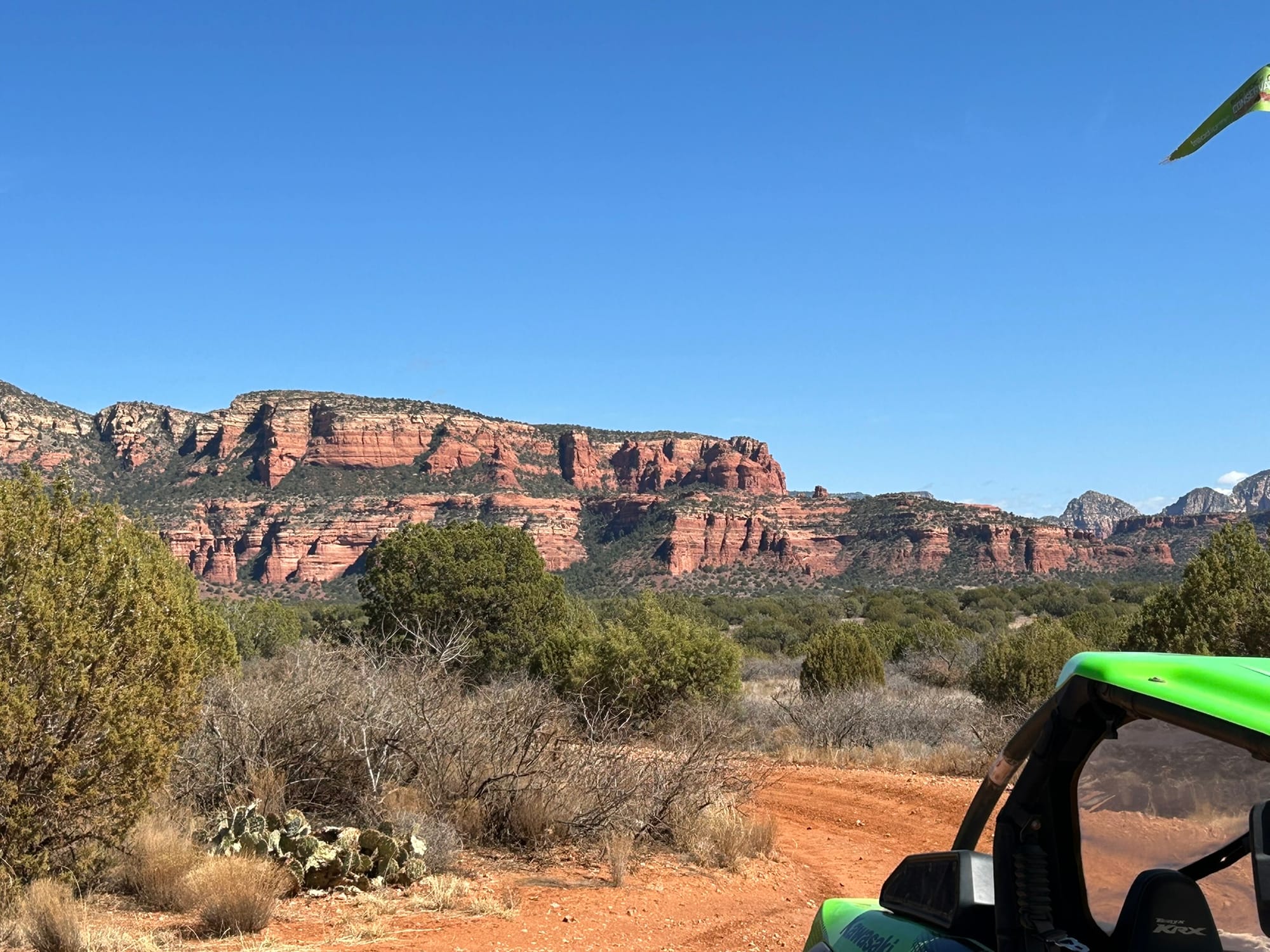
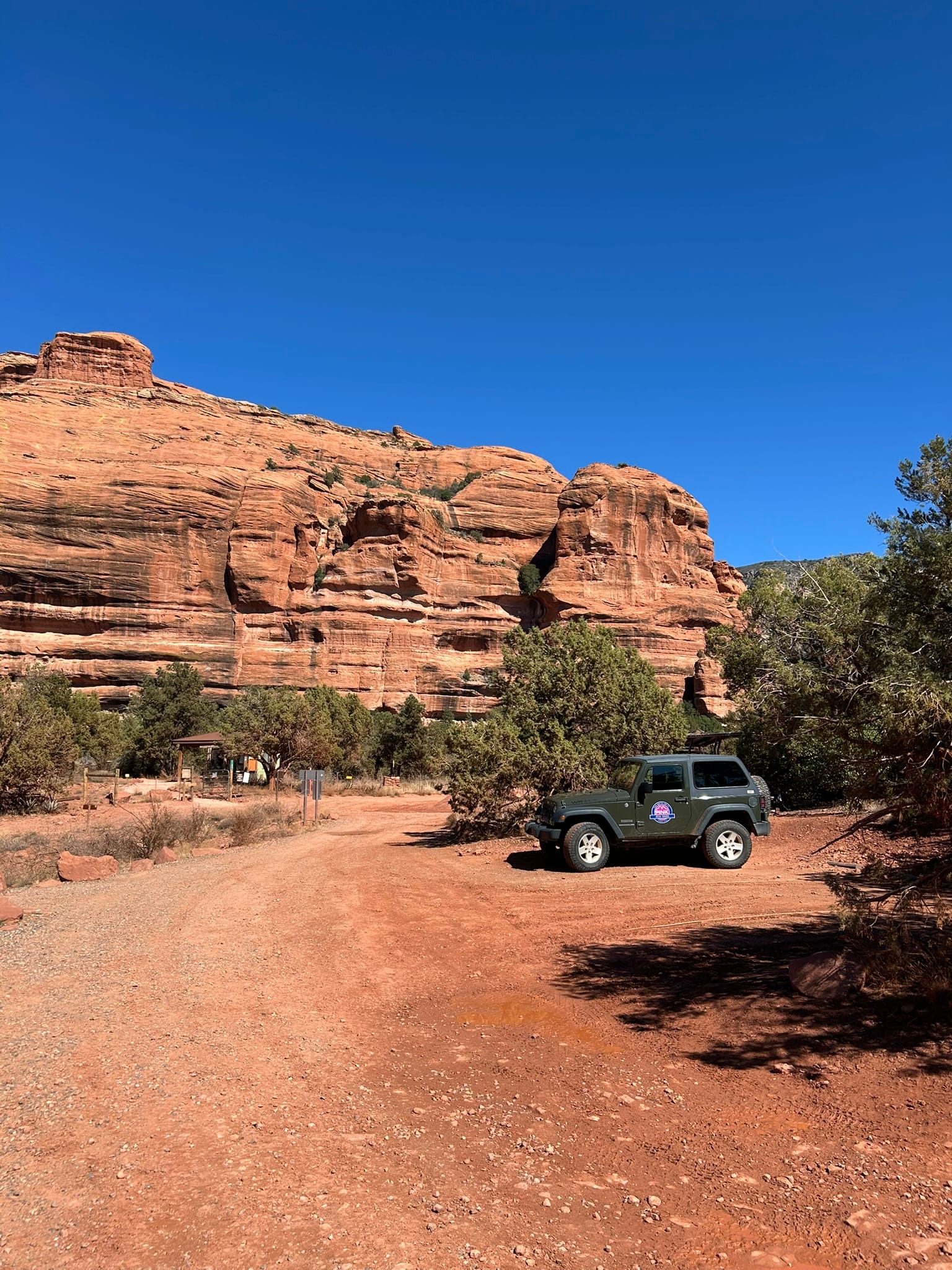
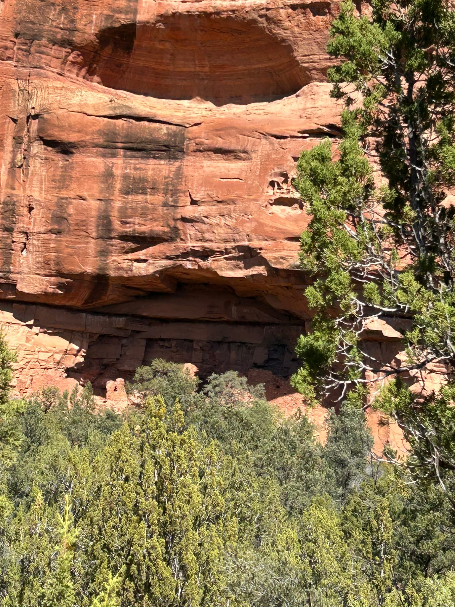
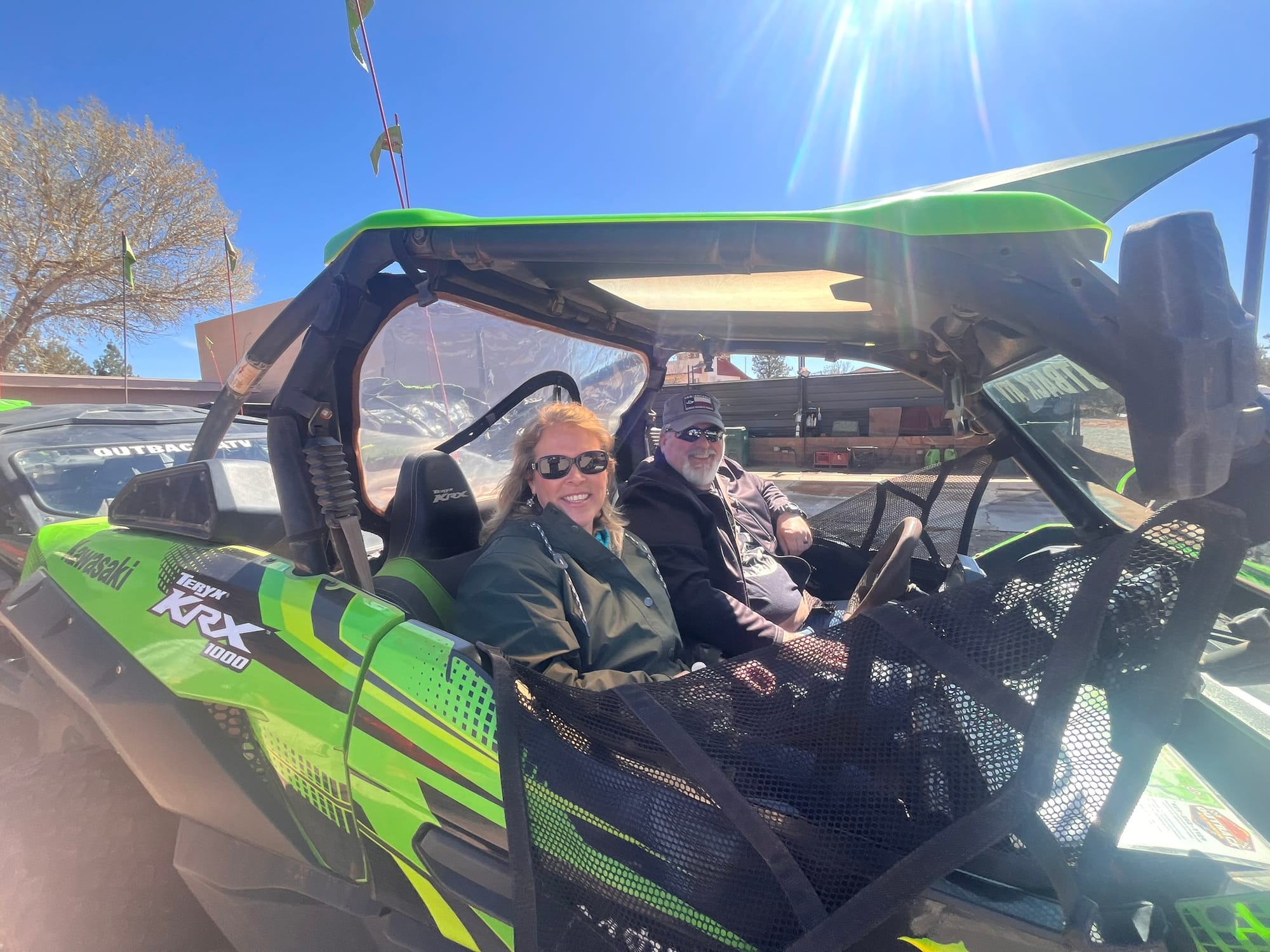
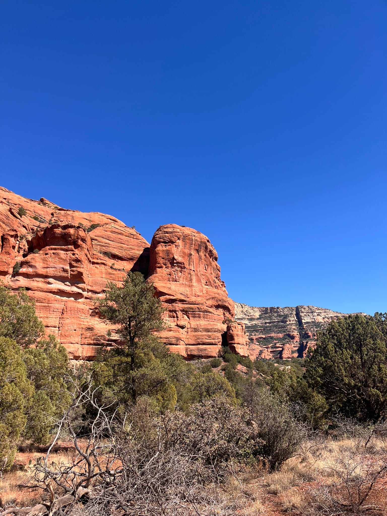
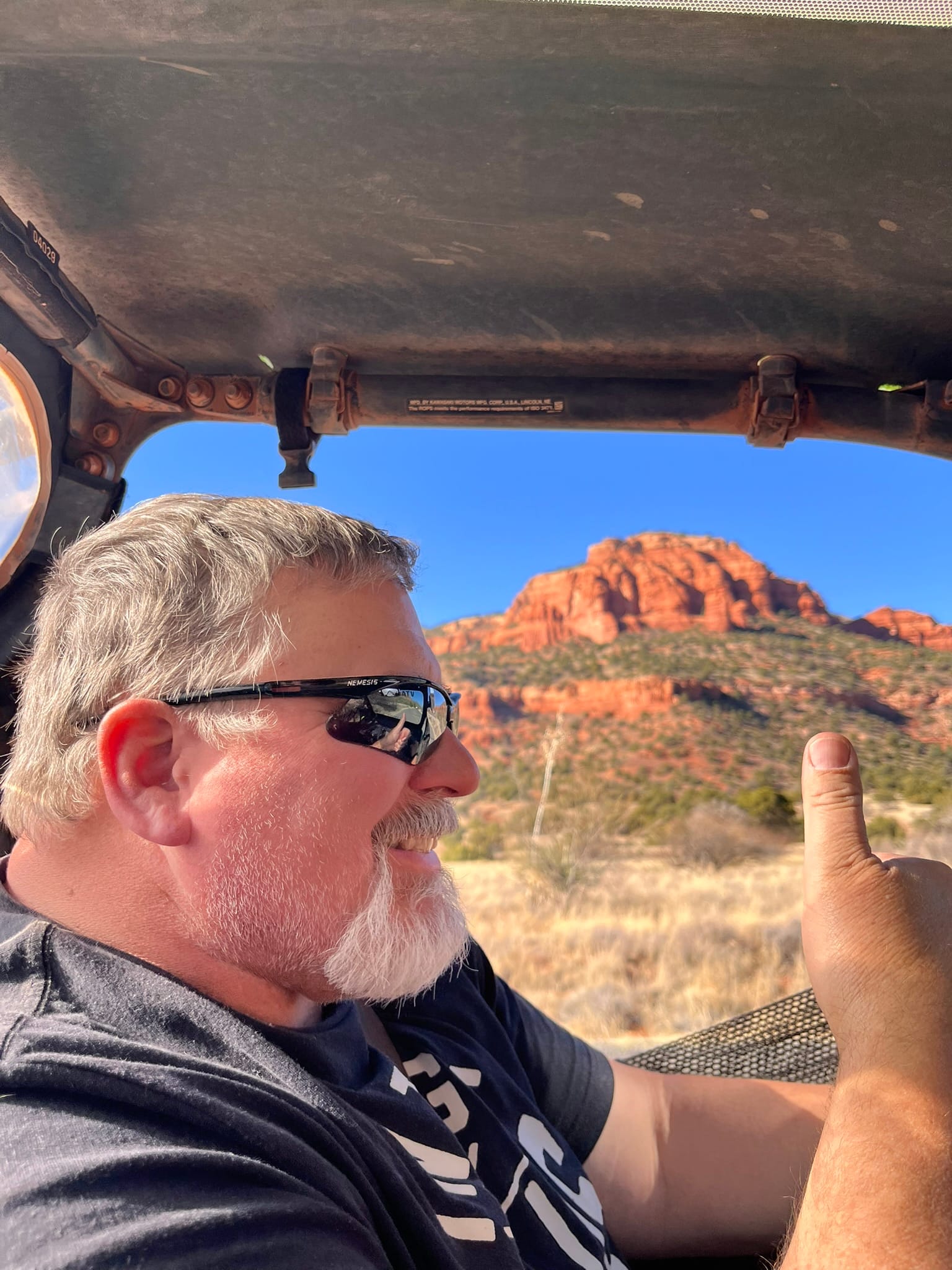
Sights along the ATV trails
When we got back, we decided to drive through town on 89A and check things out. On the north side of town we turned on 179 which is also the Red Rock Scenic Byway. It passes by a lot of the iconic monuments in the Sedona area. Truly a beautiful ride! We got back to Camp Verde and had dinner at Filiberto’s Mexican Restaurant. We had their steak fajitas and chicken tacos. The fajitas were amazing!
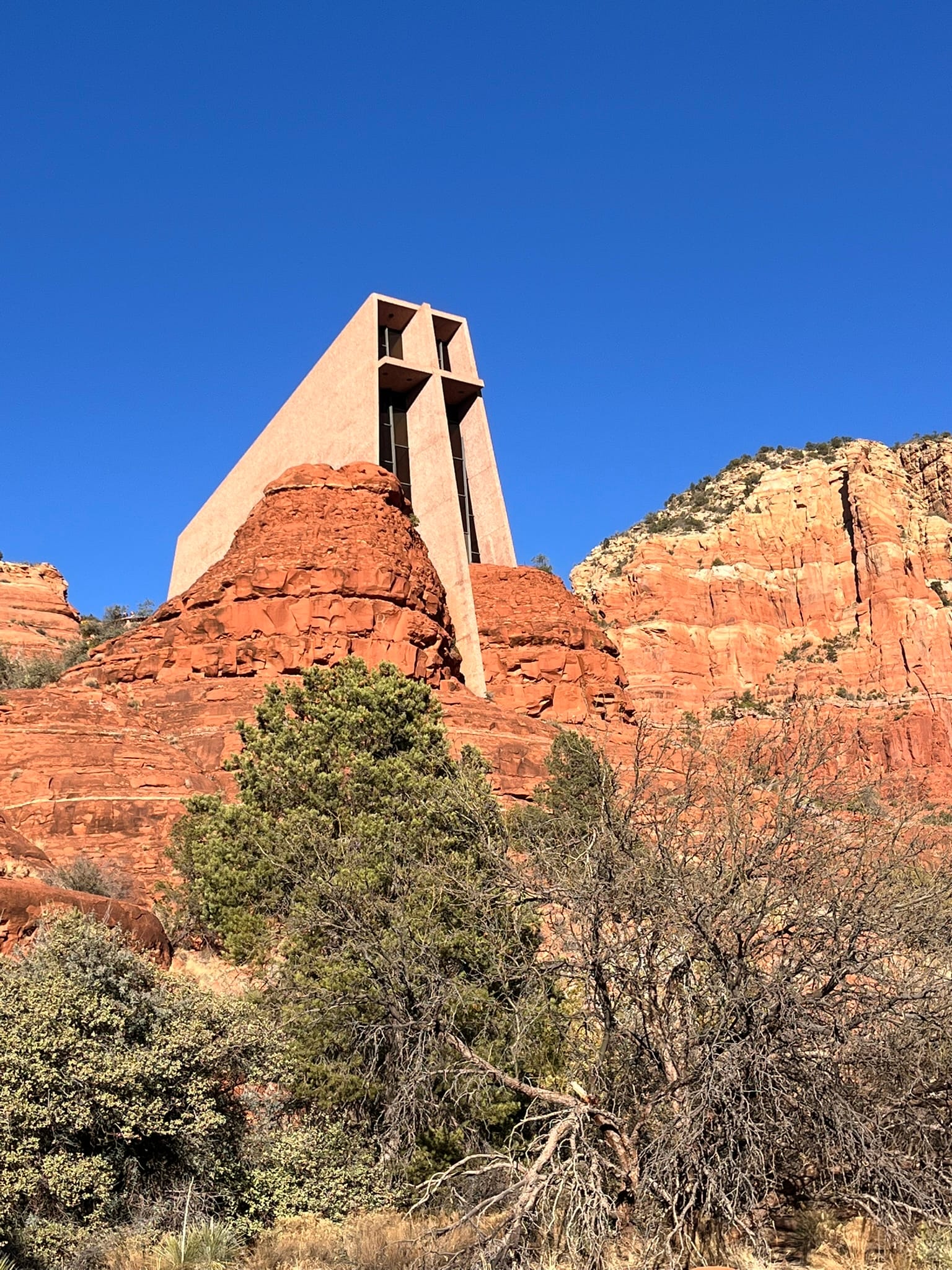
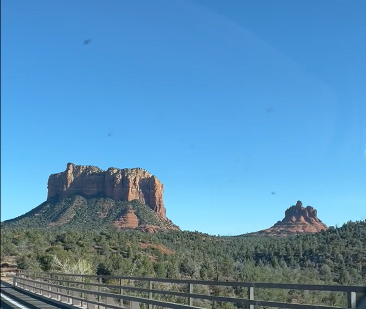
Famous Sedona sights
Jerome to Prescott, AZ, Scenic Drive
Today dawned nicer than expected so we decided to drive over to Jerome and then on to Prescott. We met a couple of folks from Prescott in the hot tub last night and they told us the drive to Jerome and on to Prescott on 89A was amazing and they weren’t kidding! First we drove over to Cottonwood where we picked up 89A south and started climbing up to Jerome, an old copper mining town perched in the mountains. The road wound around a bit getting there. The road is very unforgiving as there’s steep drop-offs all along the route. It’s a small town but seems to have a lot of artisans working there. The road through town continues the switchback motif of getting there. We drove around a bit but didn’t see anything we wanted to visit other than the State Park. The park is comprised of the Douglas Mansion and contains artifacts from the Douglas mine right below it and from the Douglas family. The roads in and around Jerome were very tight especially for a Ram 3500 Dually! We had to pull over at times to let another wide truck get by.
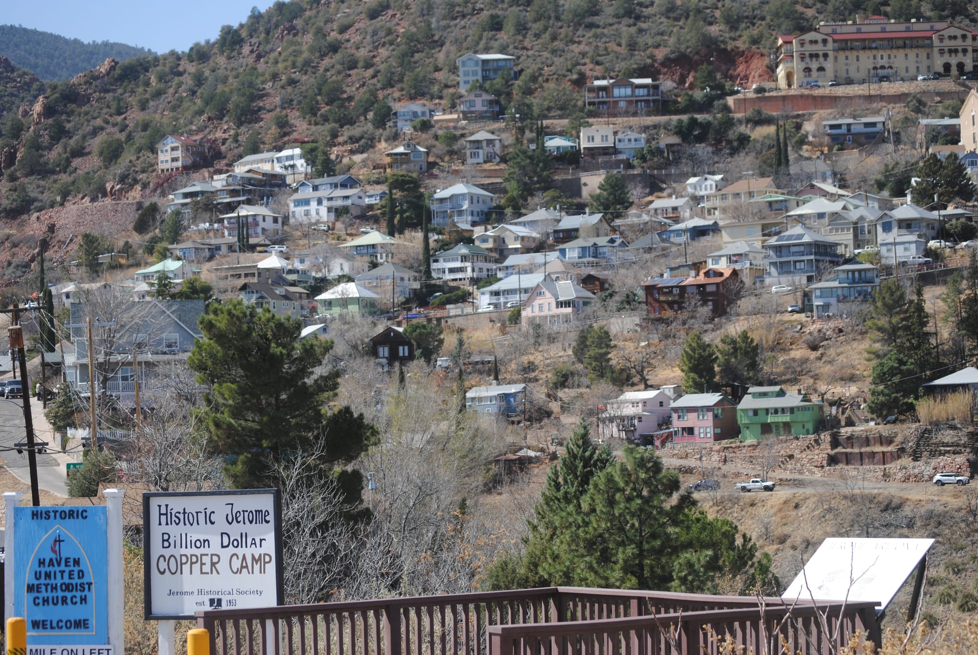
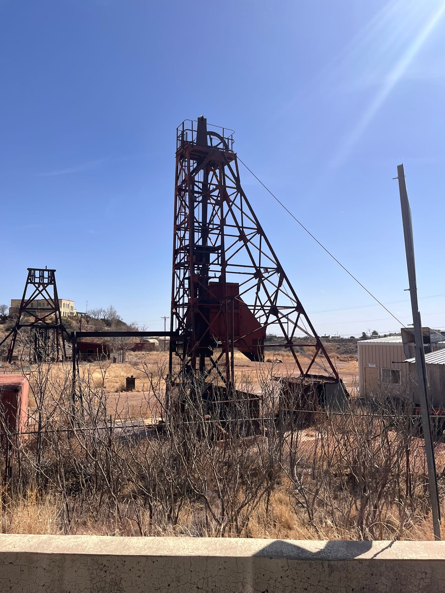
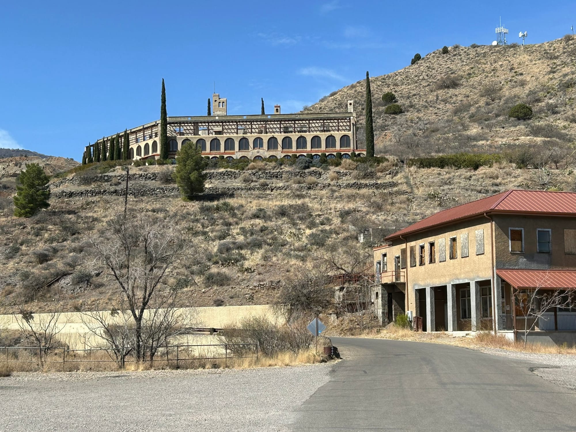
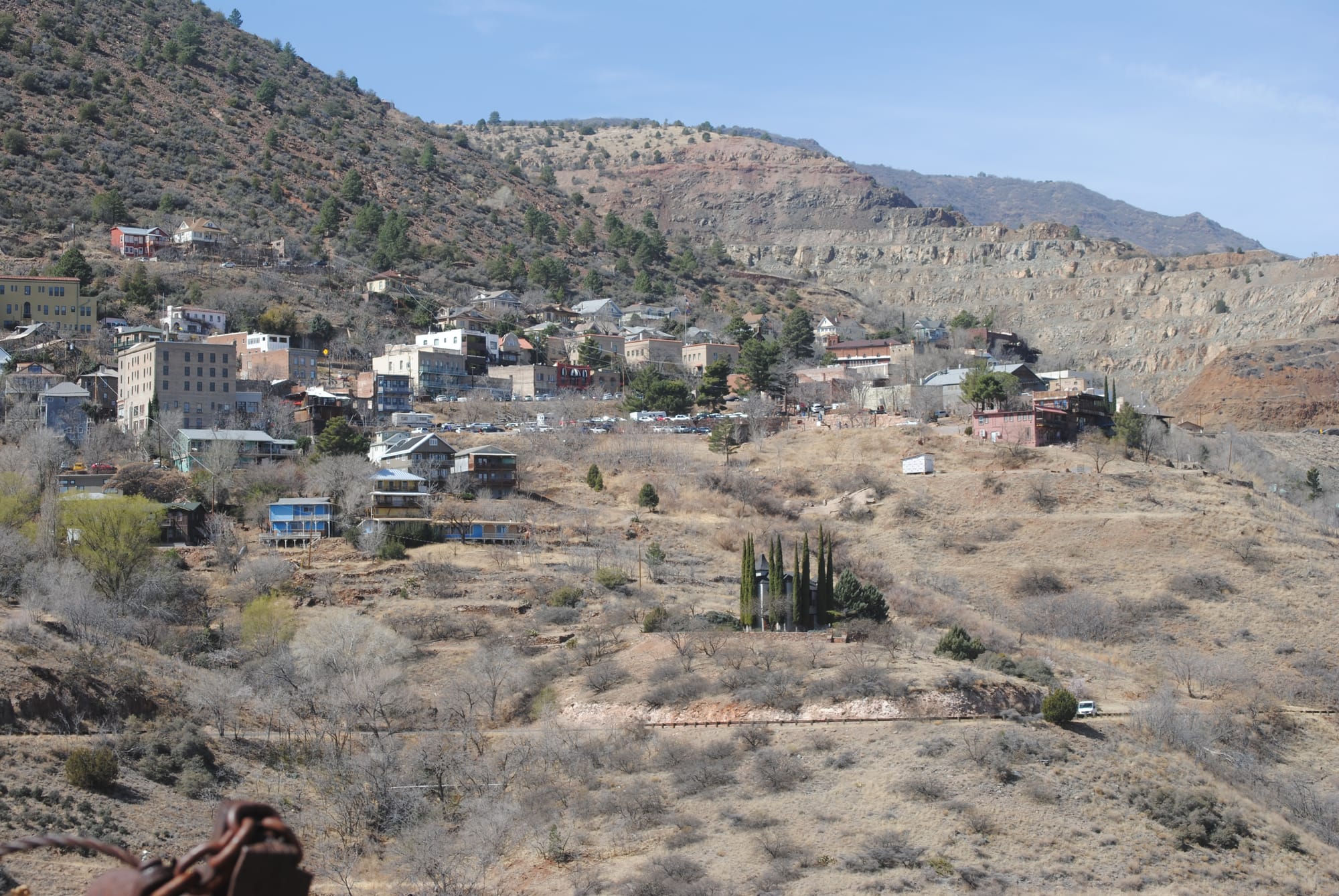
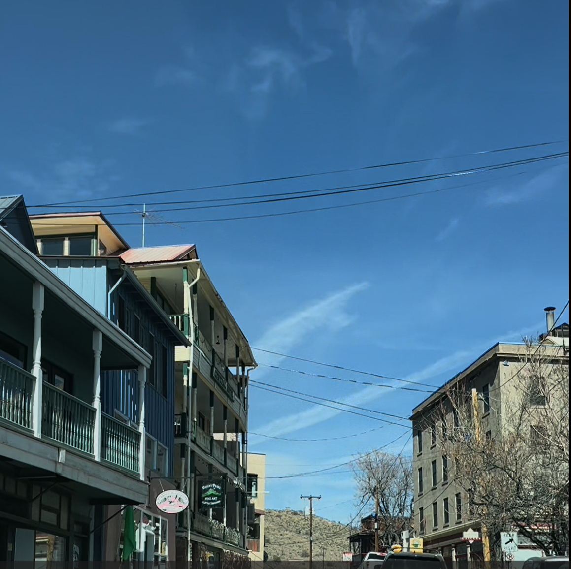
Historic Jerome, AZ
We left town and continued heading south on 89A which meant switchbacks higher into the mountains. We stopped at a couple of scenic turnoffs to take some photos and the views were spectacular! You can see for miles up there! The drive took us up into the Prescott National Forest where the scrub brush of the desert valley changed to lush green forest! We continued south until we hit the summit and then headed down the other side into Prescott Valley which was a wide relatively flat area and then on into Prescott proper. It was an odd feeling because Prescott sits at 5,319 feet and is higher than Jerome at 5,066 feet but doesn’t look it because it sits in an wide elevated valley. The mountain pass topped out at 7,200 feet.
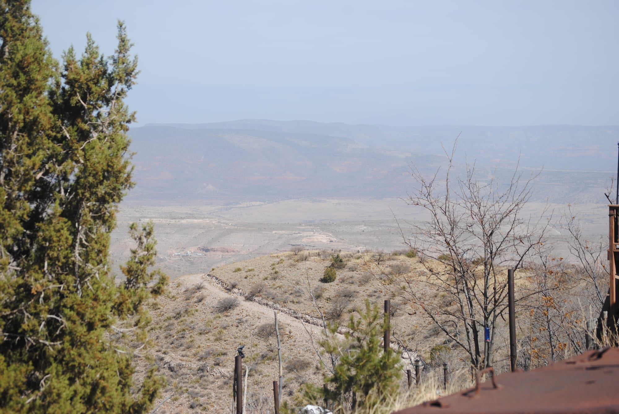
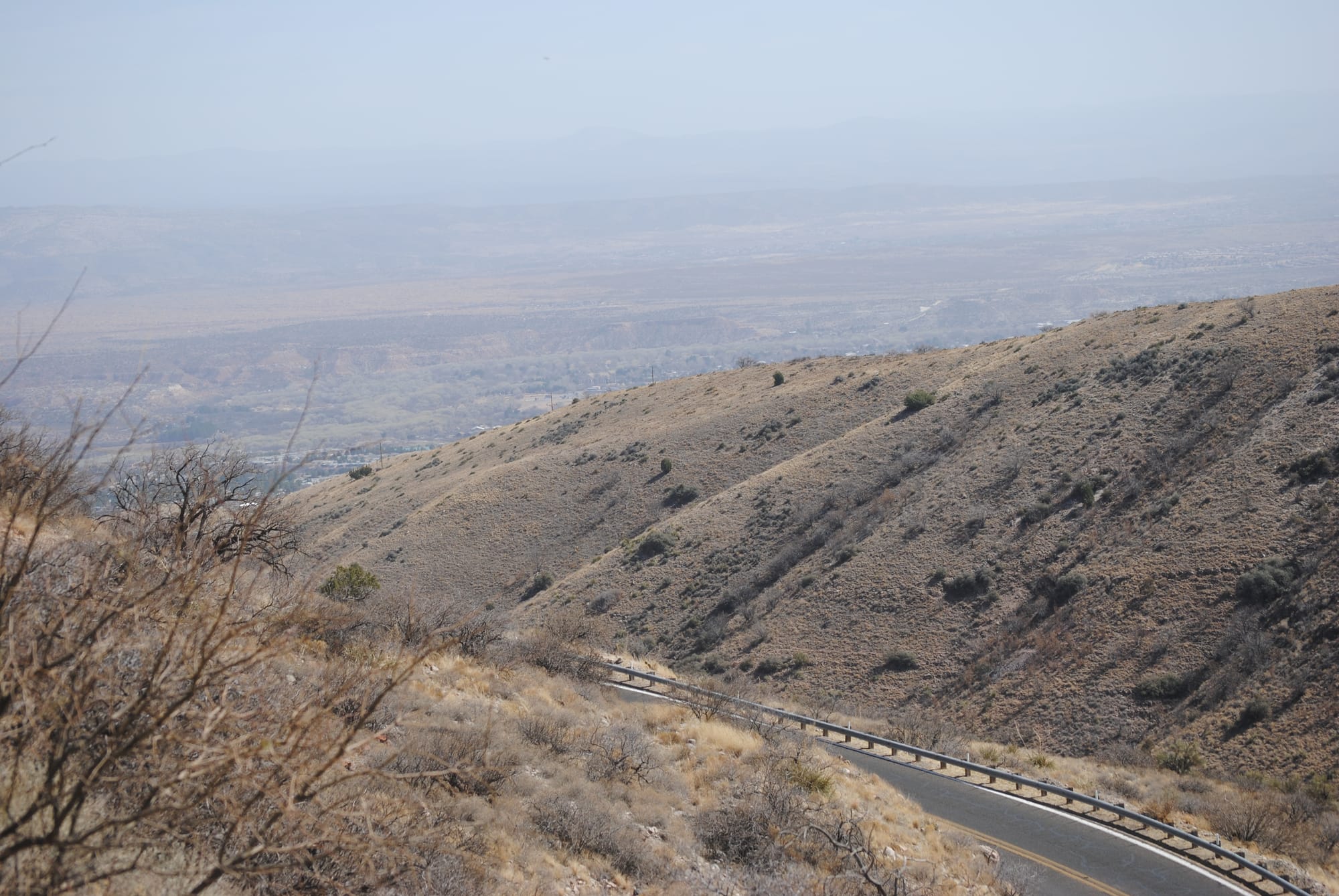
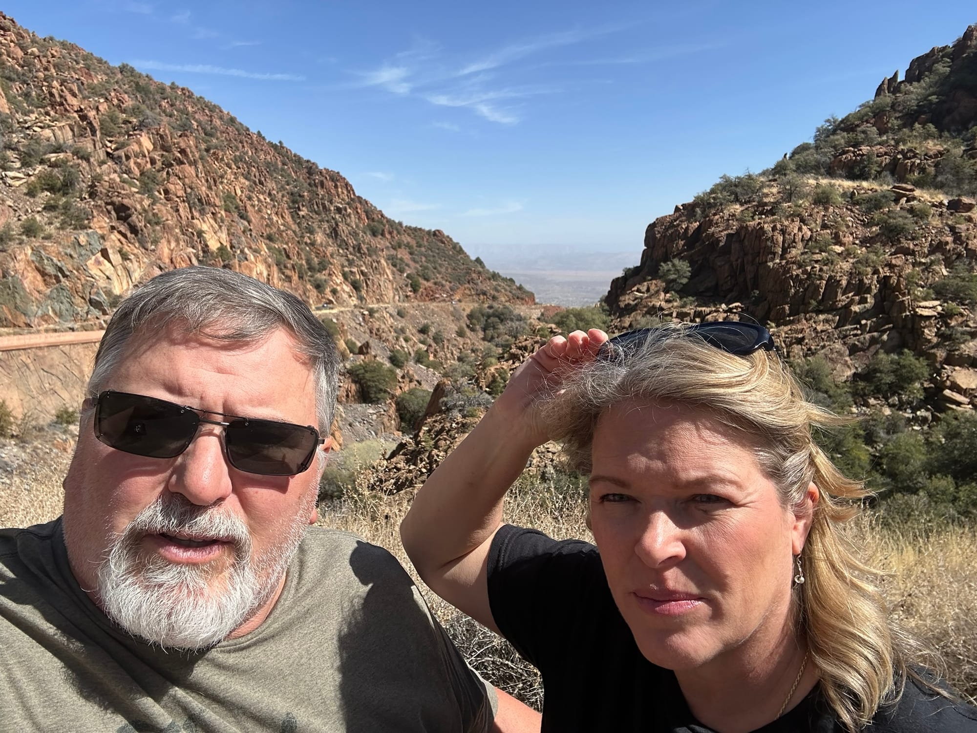
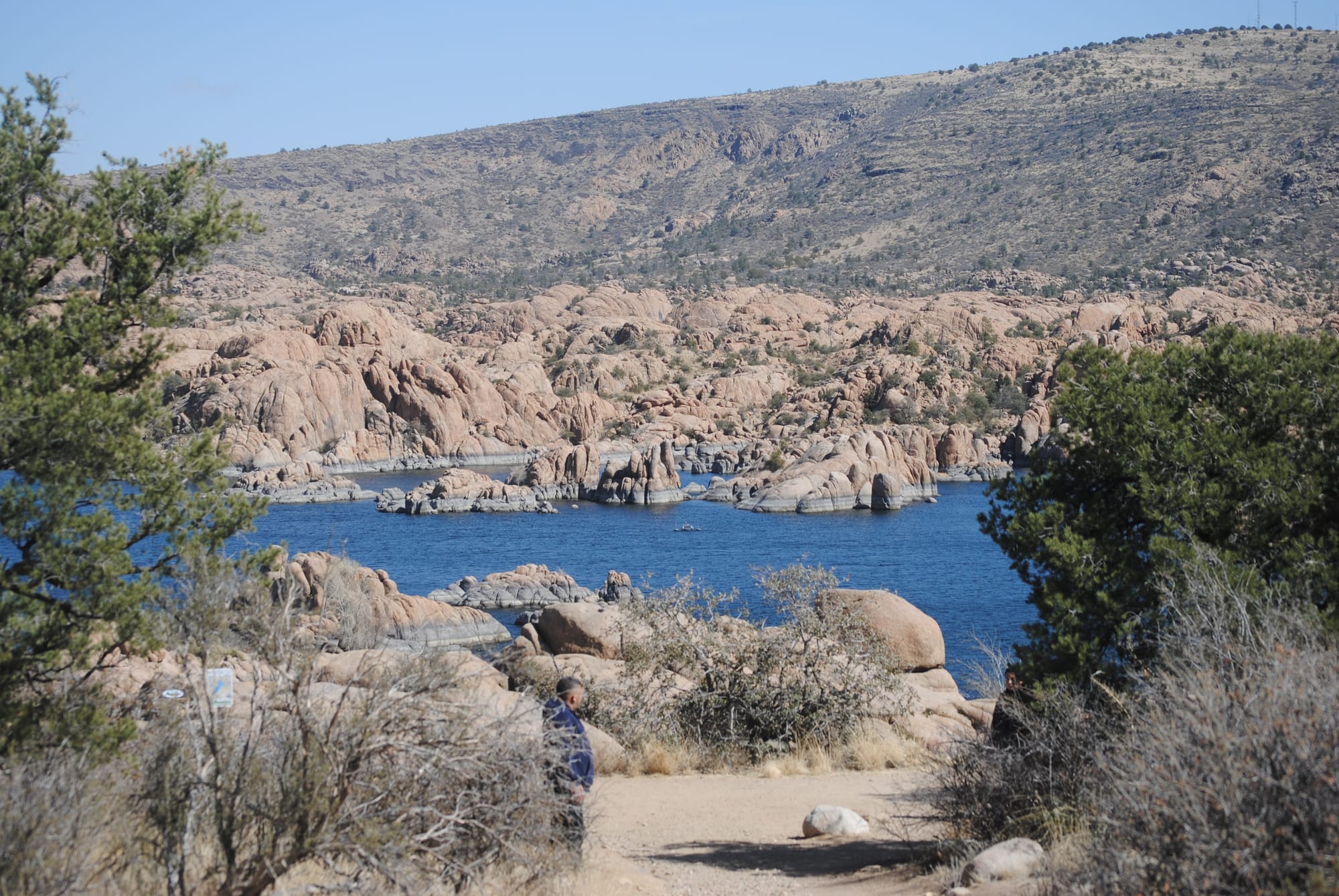
As we neared Prescott, we passed through some amazing rock formations called the Granite Garden and then to Watson Lake Park. We stopped at the park to look around because the geology of the area was stunning! Half the lake is in and around the granite rocks that we had been traveling through and then the rocks give way to smoother ground along the second half of the lake. The combination of rock formations and the lake water was spectacular!
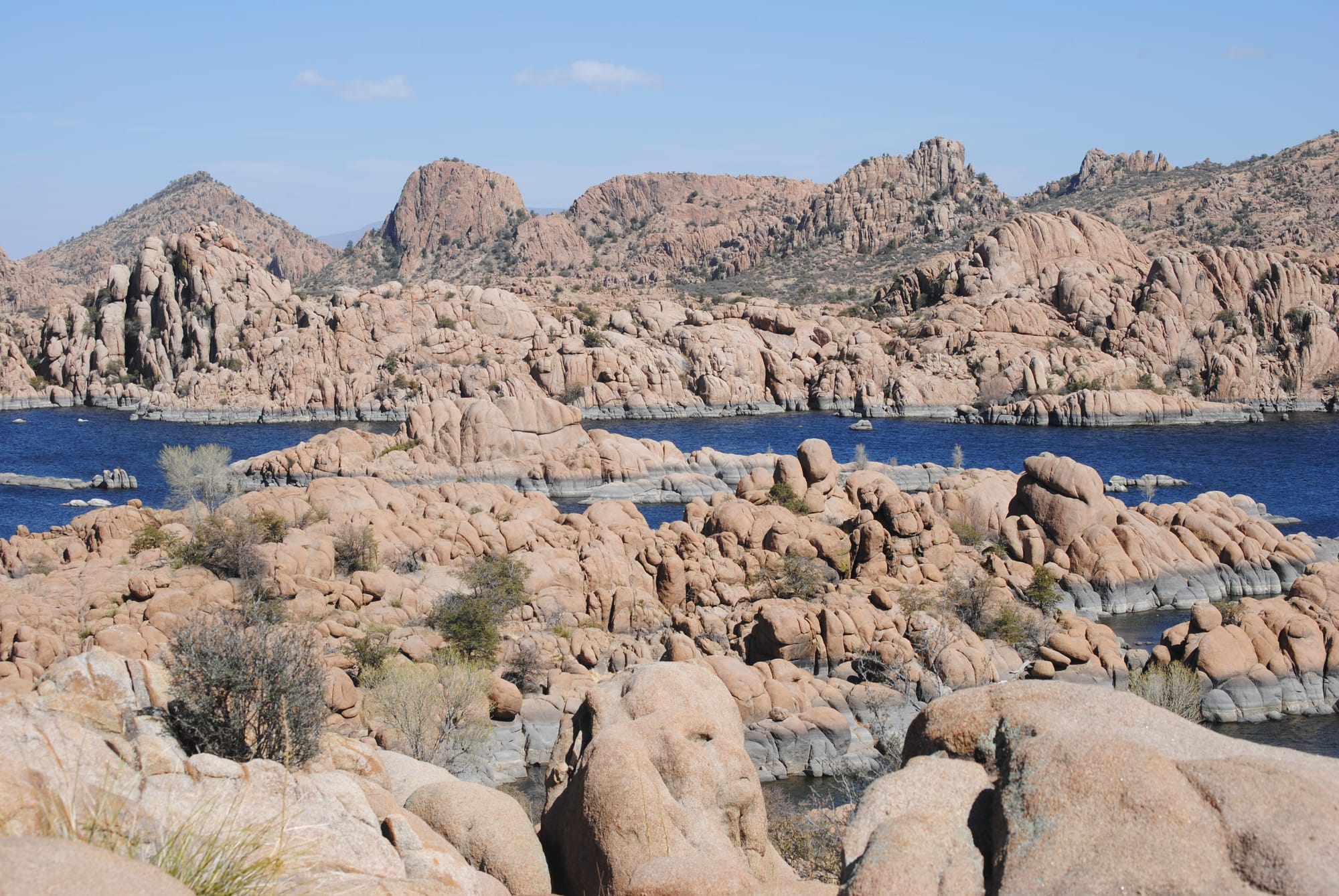
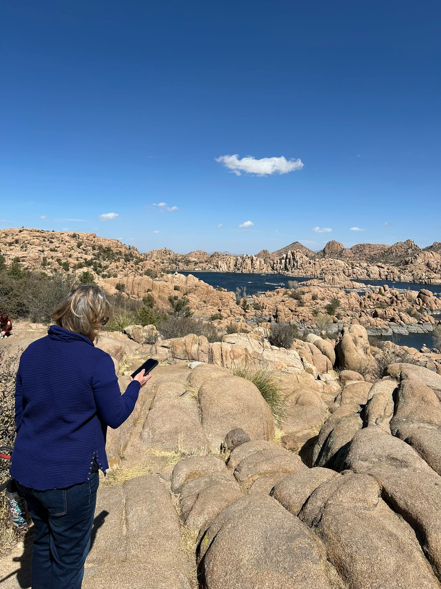
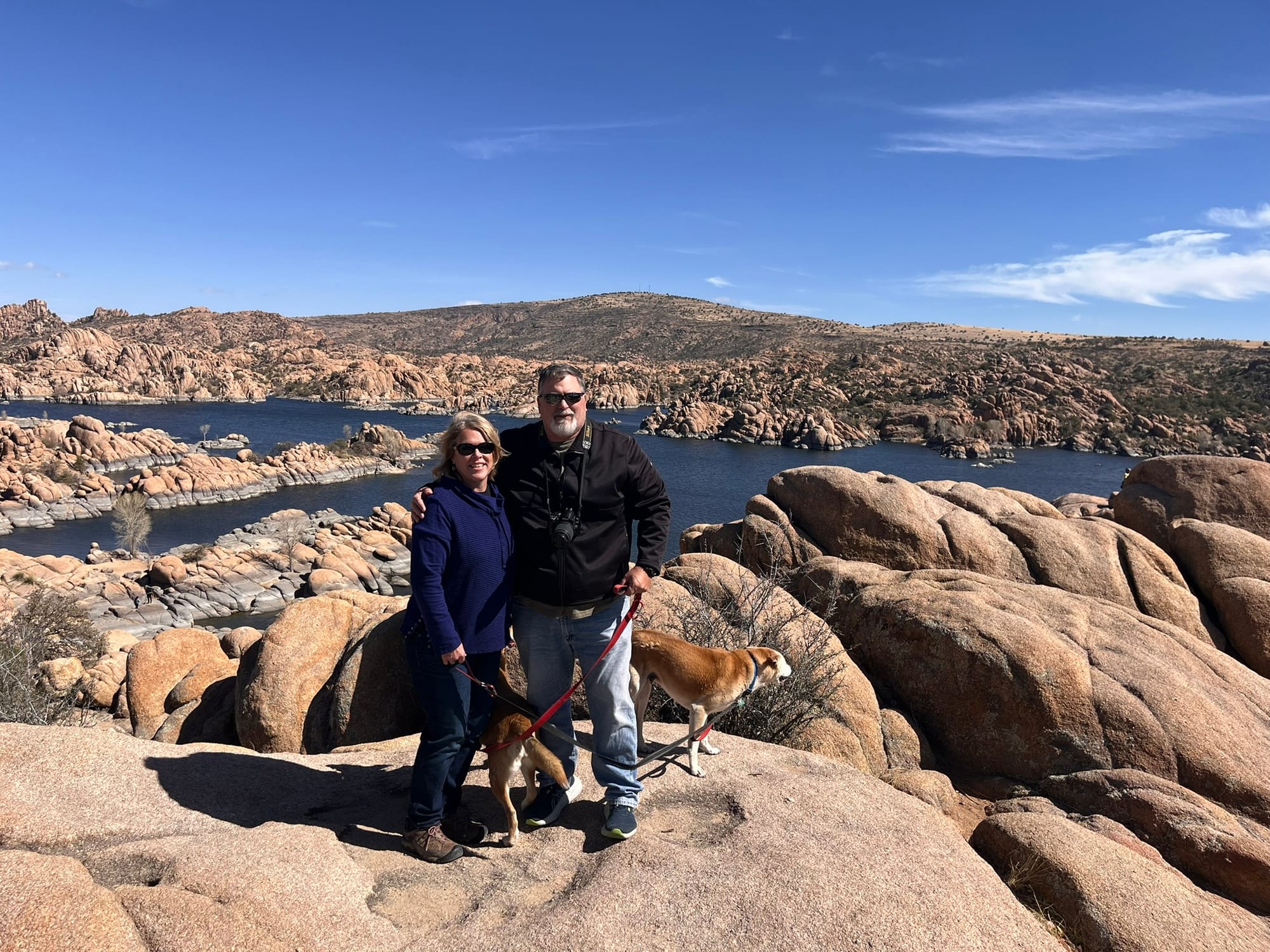
We went into historic downtown Prescott and checked out Whiskey Row which is famous for it’s bars and then found a dog friendly area with some food trucks and got some Hawaiian Teriyaki Chicken for lunch. The entire day’s drive was extremely scenic! The only downside for the day was how windy it had become.
Montezuma Castle and Well National Monuments, Camp Verde, AZ
Today we both felt good enough to head out to some of the local landmarks. We headed over to Montezuma Castle National Monument and then on to Montezuma Well both within 2 exits of our campground. Montezuma Castle was very reminiscent of Mesa Verde but on a much smaller scale and easier to reach. It’s a cliff dwelling up off the valley floor overlooking a river a short hike down a paved path from the visitor’s center. Being up high, it has a very defensive look to it, but the Park Ranger said there wasn’t much evidence of violence in the area. No mass graves etc. but then said “I’m going to contradict myself, but Castle A just down the way shows signs of being burned in a hostile manner." So there was some competition in the area but not particularly a lot. He said they built higher due to flooding of the river that happened a lot more back then and that they took advantage of the natural caves that provided back and side walls as well as a roof. This made construction much easier.
This location also had a southern exposure for warmth in the winter and shade in the summer for natural cooling. There was a second homesite a little further down the walk that was much smaller and built near the base of the cliffs that they called Castle A. It was apparently older and had been attacked at some point.
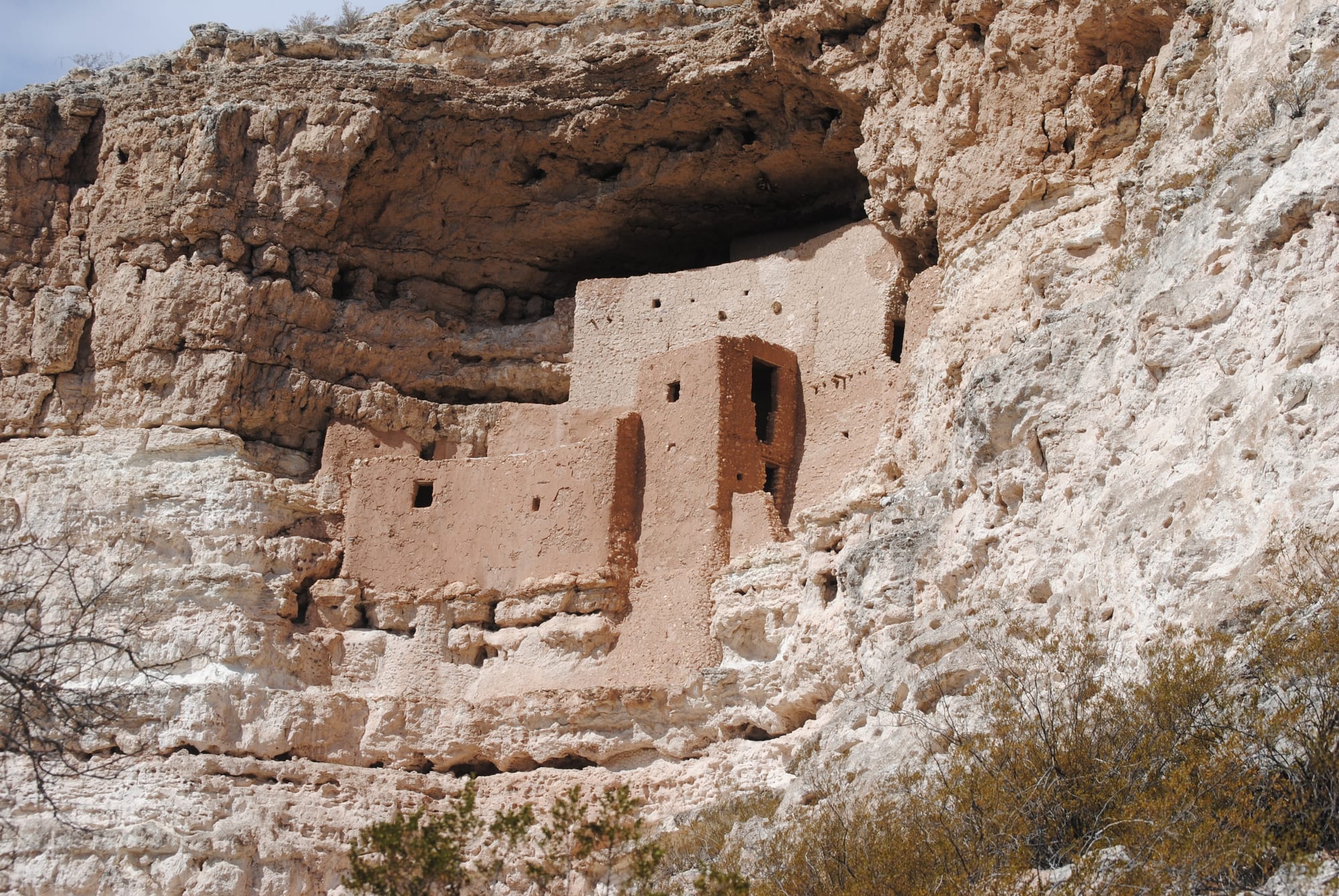
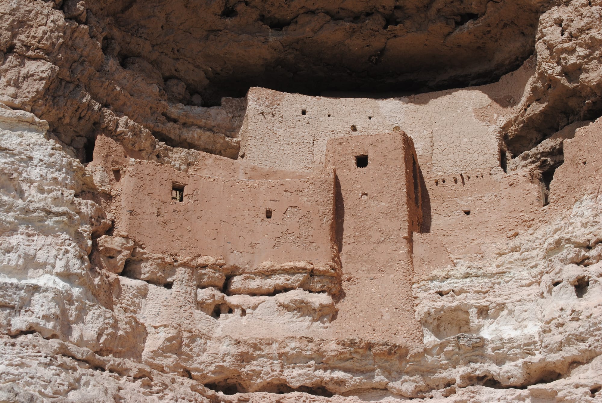
Montezuma's Castle National Monument
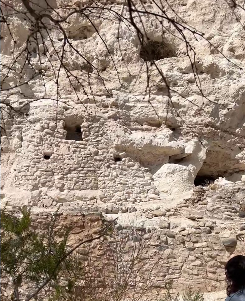
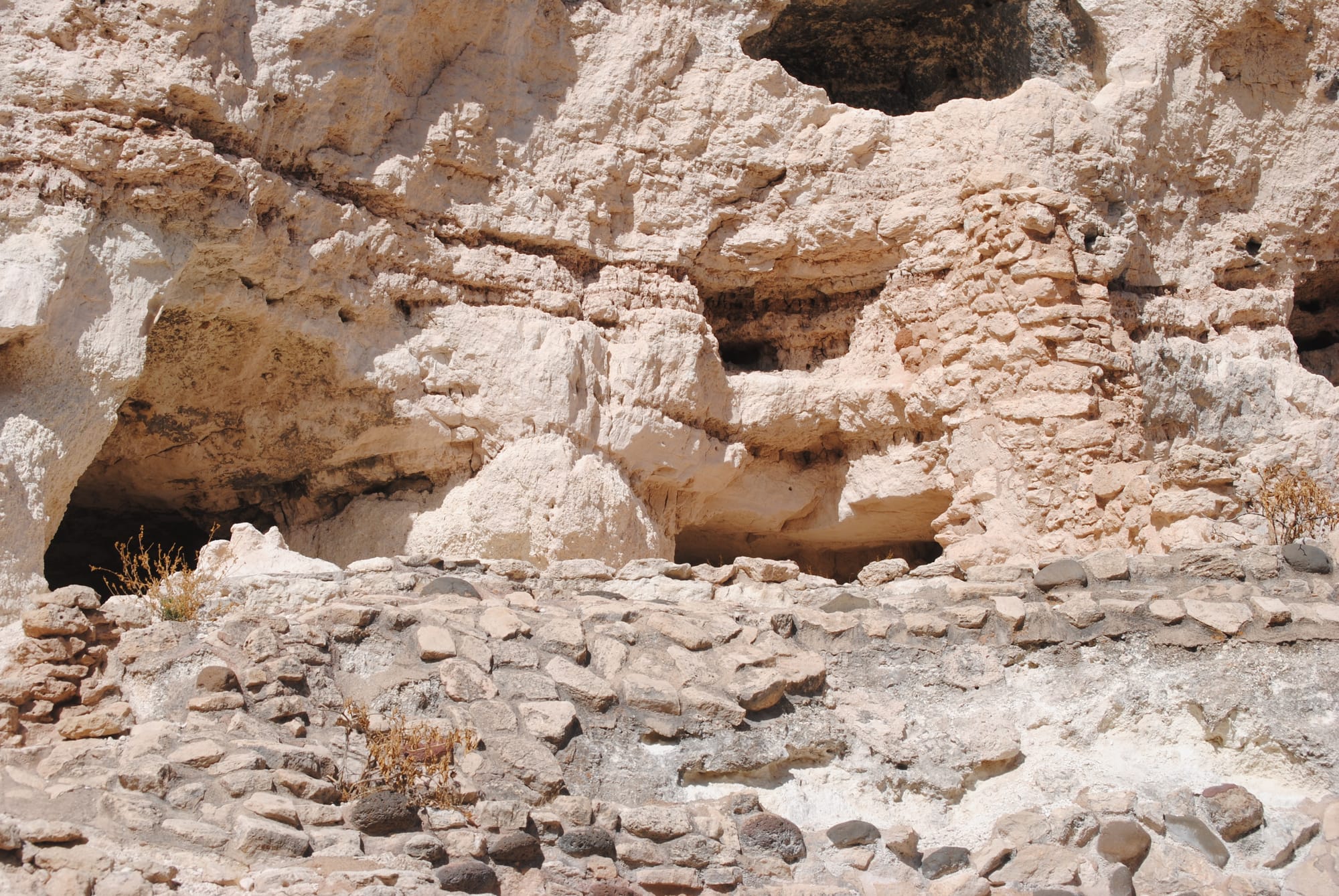
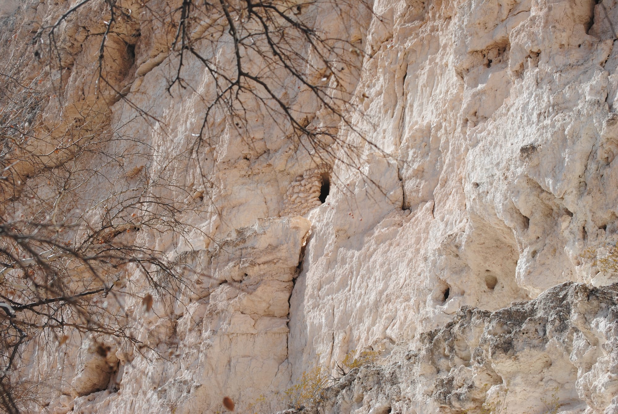
Castle "A" nearby
After that visit we went on to Montezuma Well National Monument which is a natural depression in the rocks from which huge springs feed water. The sign said that about 1.5 million gallons of water flow from the springs daily. The cliffs around the edges also hosted dwellings at one point. The path led on to the river's edge nearby where the water from the springs joins the river. At some point someone built a little aqueduct along the bank to divert at least some of the water to another destination.
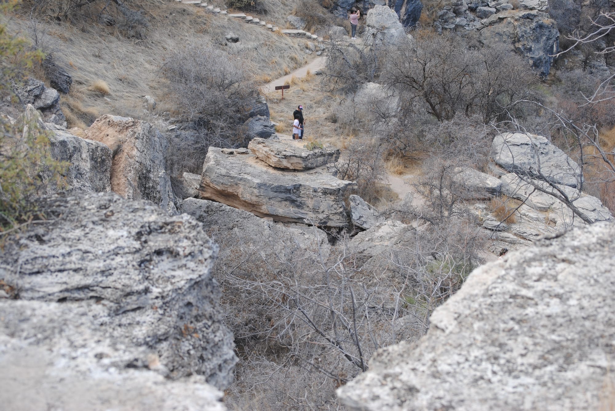
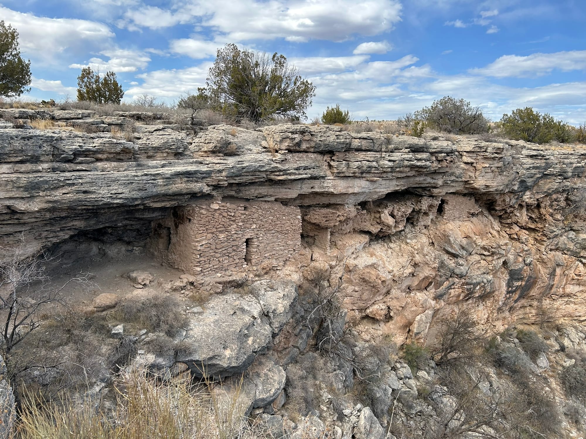
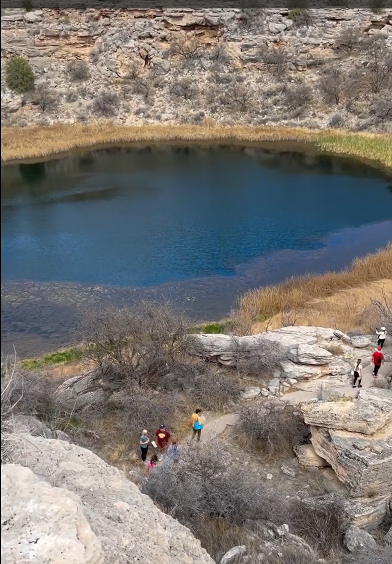
Montezuma Well National Monument
Lost Dutchman State Park, Phoenix, AZ
The Lost Dutchman State Park is located northwest of Phoenix, AZ. Since we are camping on that side of Phoenix, we decided to start there with our explorations. The tale of the Lost Dutchman Mine was of course foremost on our mind. The park is located at the base of the Superstition Mountains which rise precipitously and majestically from the valley floor. The park has a lot of hiking, biking and even horseback riding trails around the base of the mountains. We hiked a mile or so around the base of the mountain taking pictures and worked our way back to the truck. We saw a lot of hikers and someone riding horseback along the trail. It was pretty cool to see!
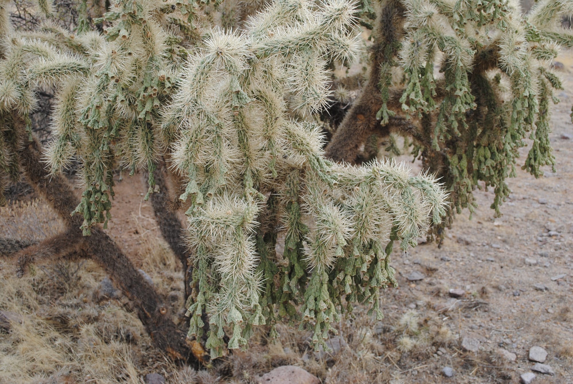
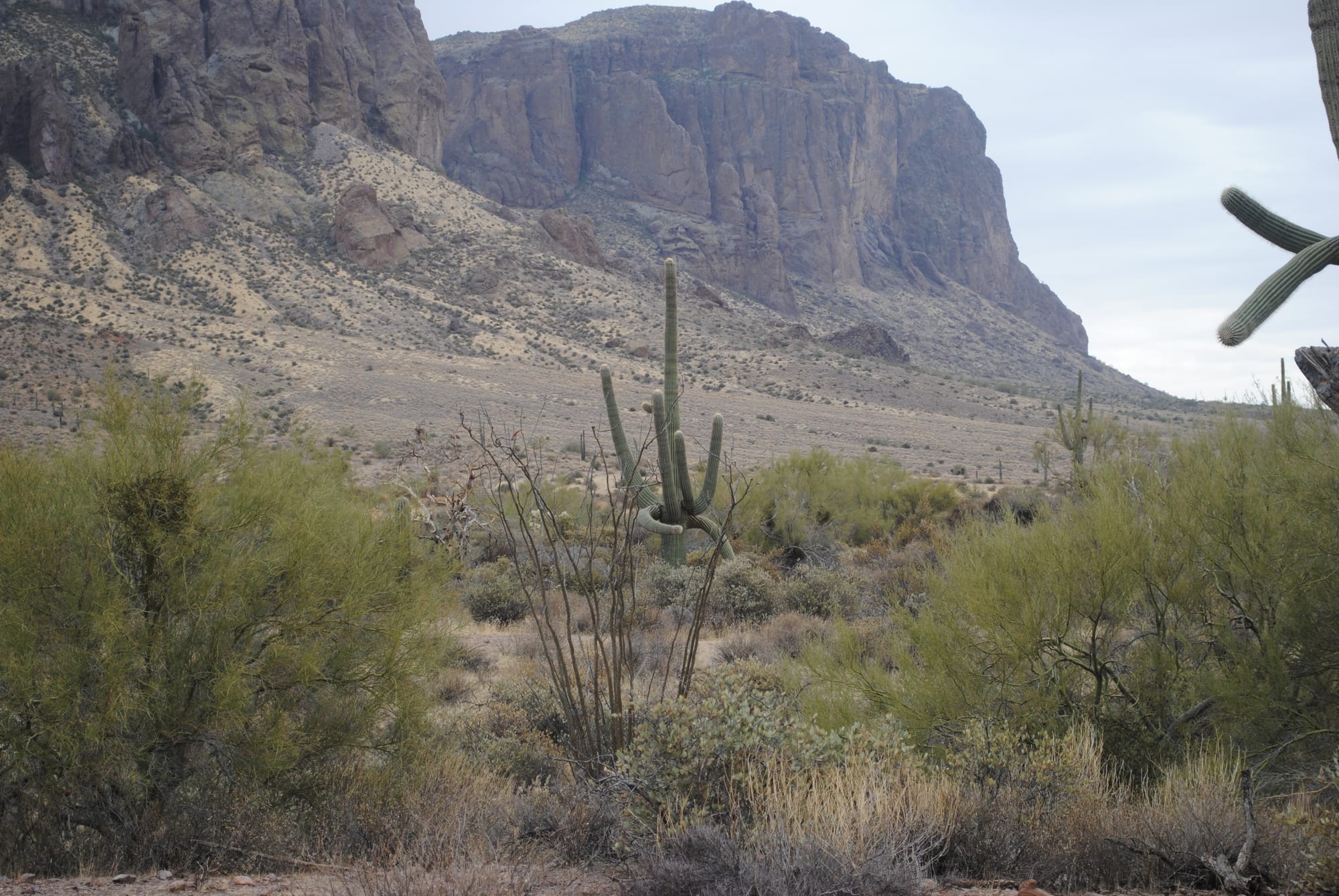
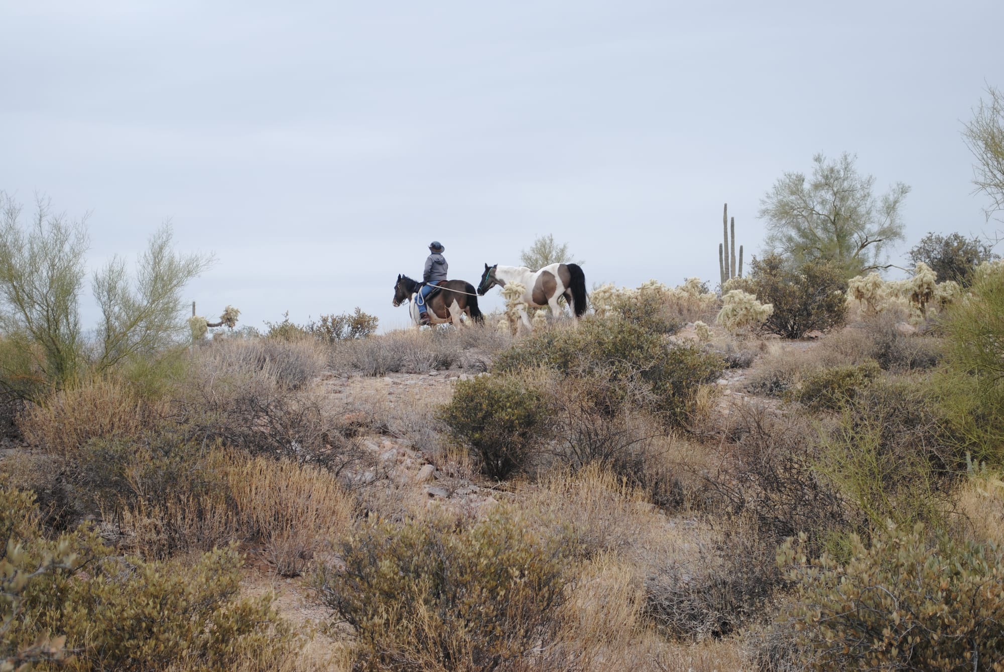
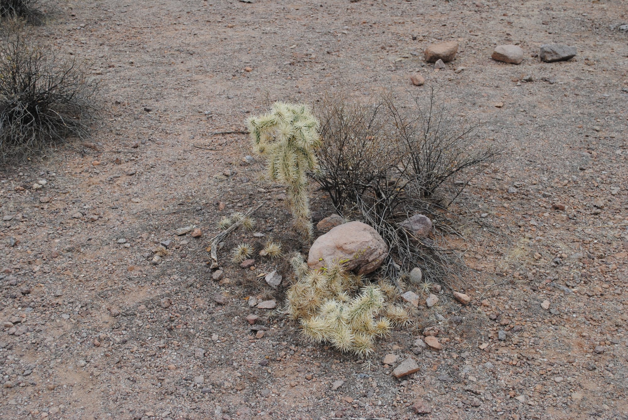
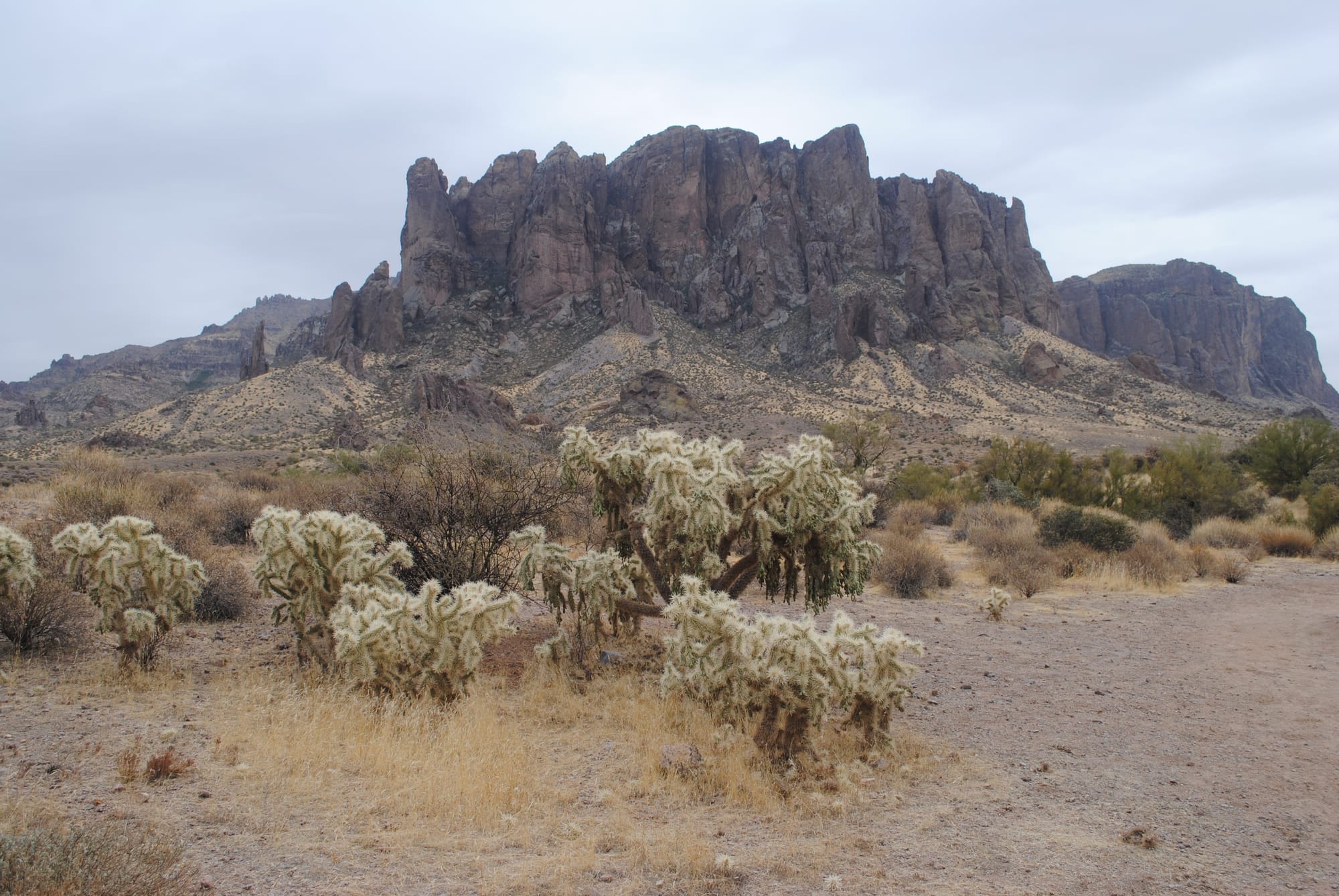
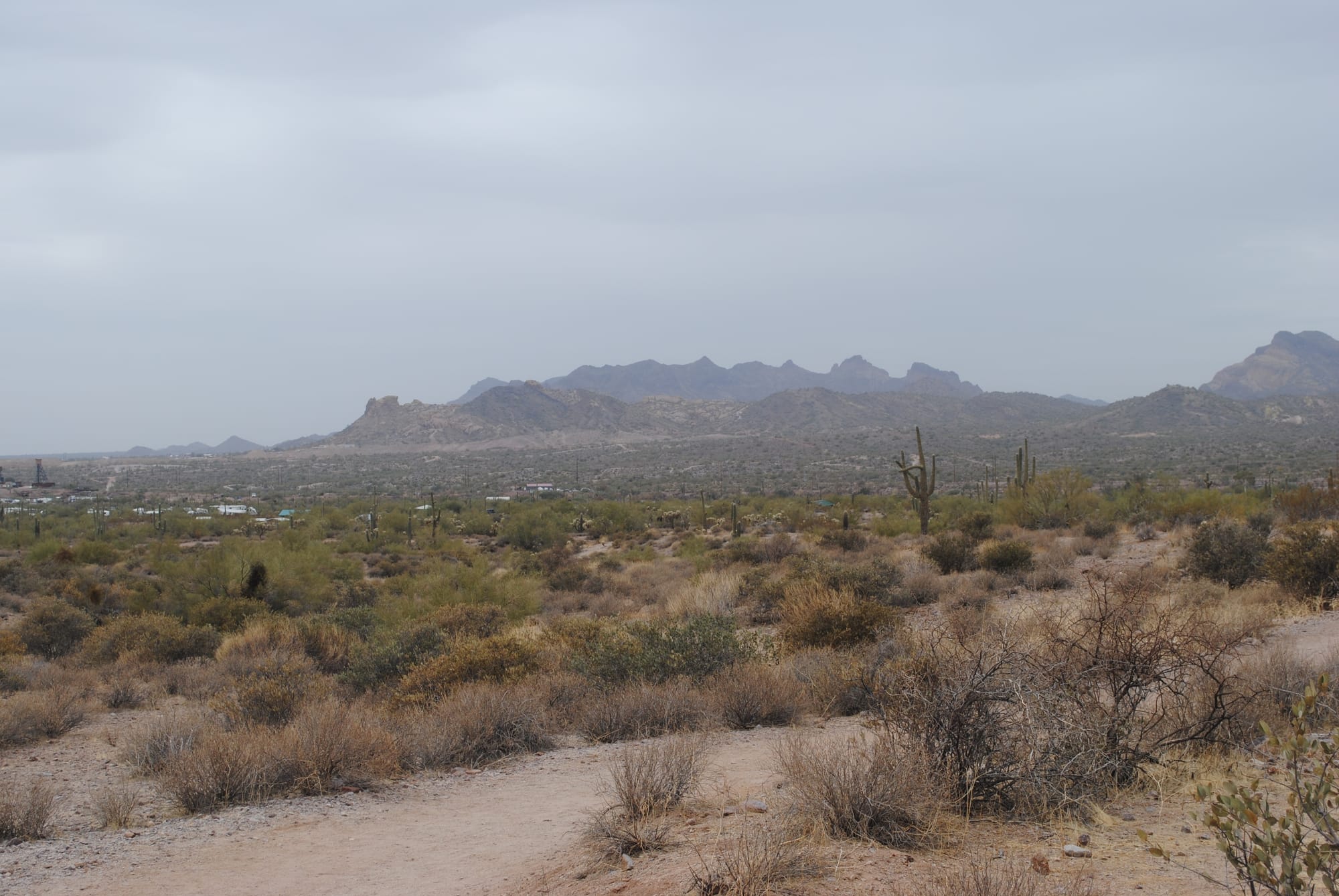
Lost Dutchman State Park Views, Phoenix, AZ
Saguaro National Park, Tucson, AZ
After Tombstone we headed to Saguaro National Park East located near Tucson, AZ. It took a bit to find it because the signs leading to the park are very confusing. We only had about an hour to visit once we arrived because we were meeting an old friend from my flying days for dinner. The main thing to do at Saguaro East is drive the Cactus Forest Loop which was beautiful. The area is teeming with different types of cactus but especially Saguaro. We took our time driving around the loop at least at first, stopping at many of the pull-offs to take photos. I brought our DSLR to practice some photography. There were plenty of subjects to work with! As the 8 mile drive wore on we tended to speed up a bit as the views began feeling repetitive.
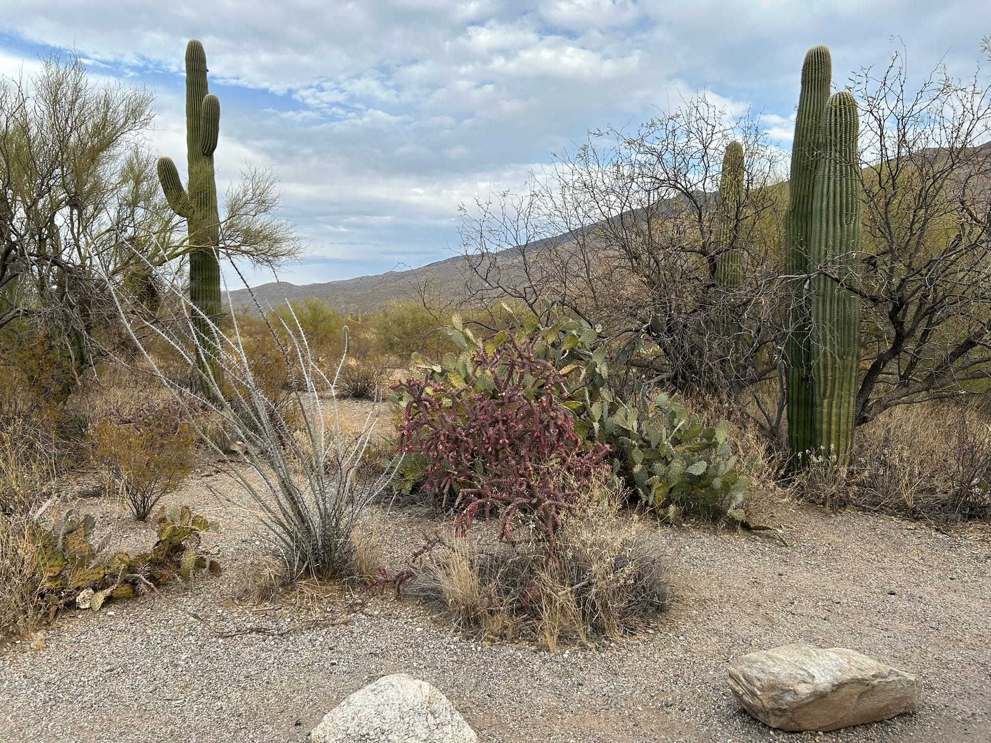
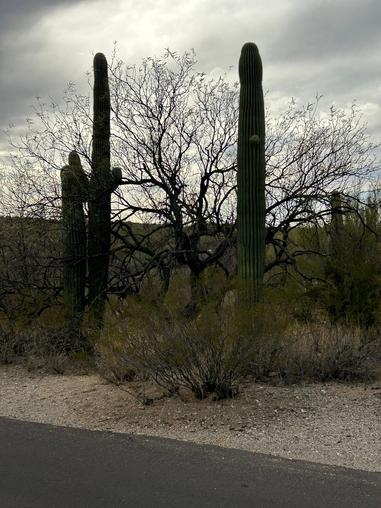
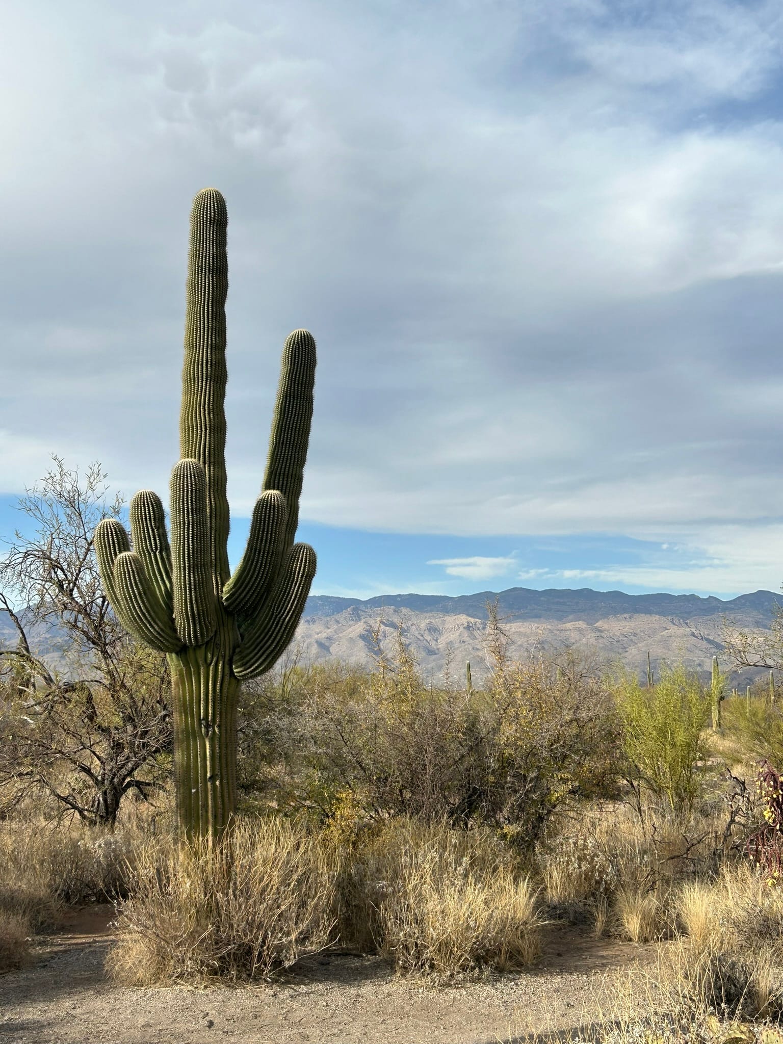
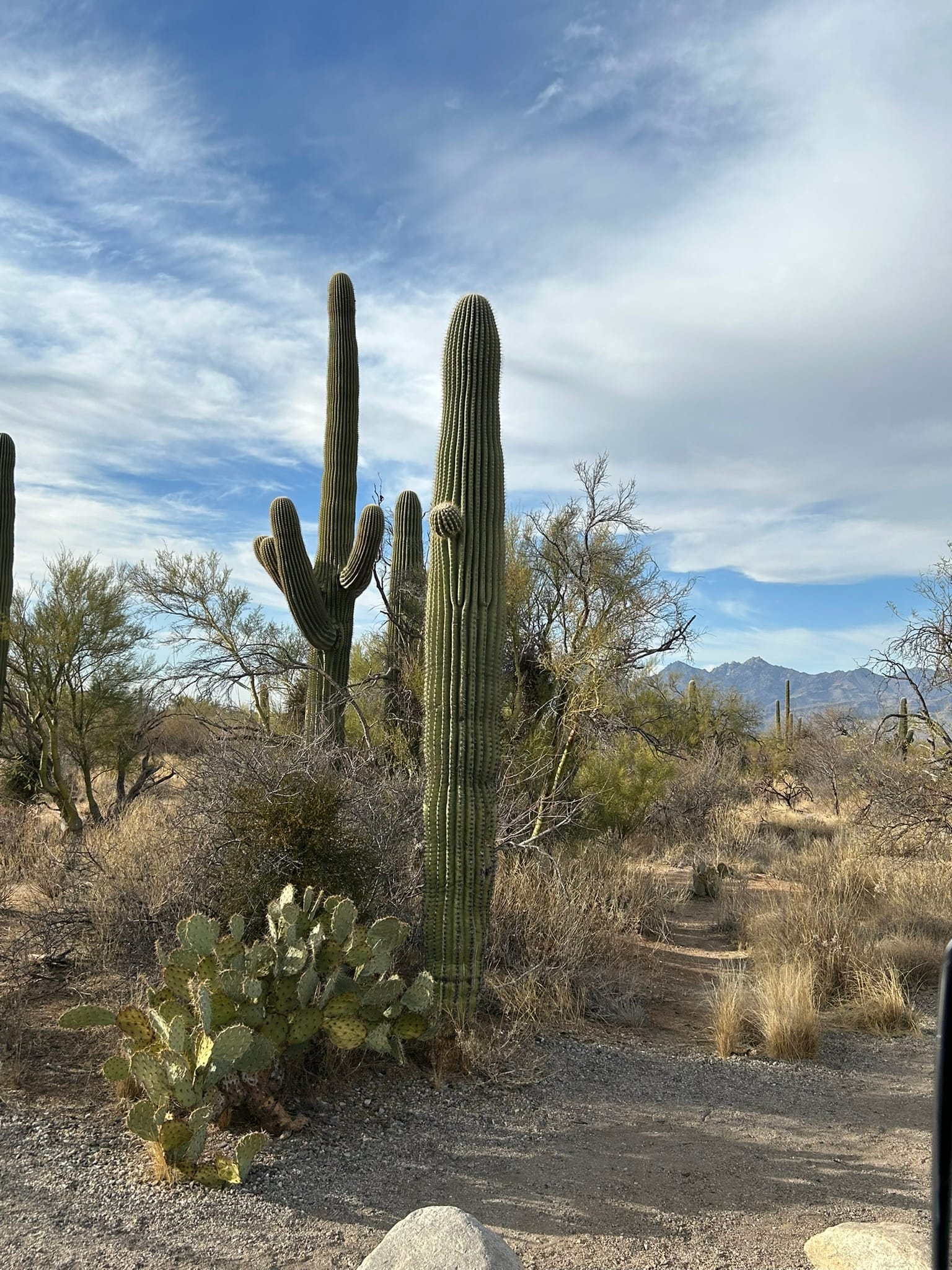
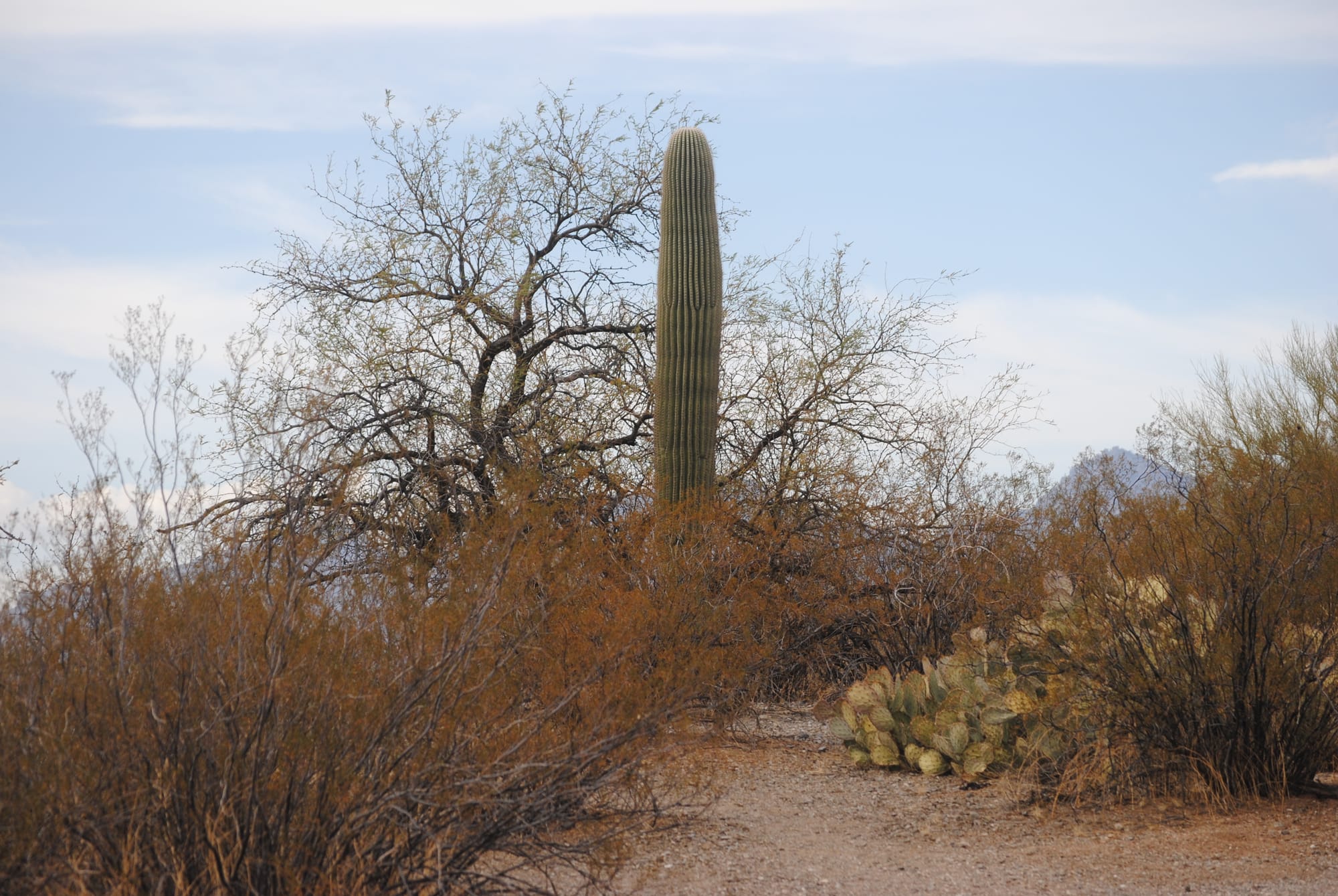
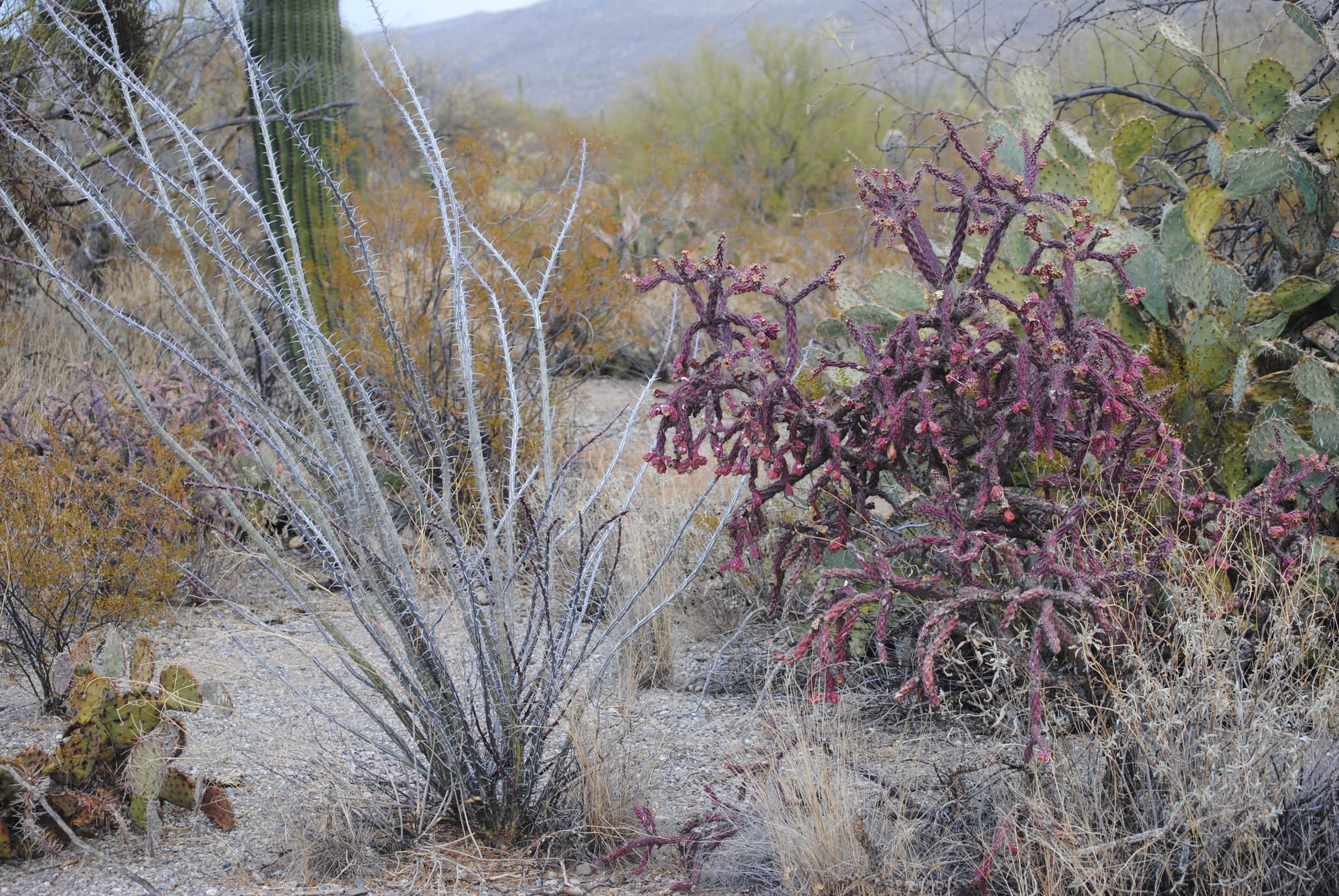
Saguaro National Park East
Tombstone, AZ
We headed out from the state park in the morning to see Tombstone which I had visited many years earlier but Kim had never seen before. It was fun to walk the dirt streets and boardwalk along the shops with actors roaming around in period outfits, a live stage coach giving tours and reenactments of the famous shoot out. We went on a self guided tour of the Birdcage Theater which is supposed to be haunted. I didn’t see or hear anything unfortunately. The woman working there gave about a 10 minute history lesson of the history of the theater which was very interesting and a bit risque!
We also bought tickets to a Vincent Price narrated history of Tombstone that included a detailed discussion of the famous shootout. The shops around the old town section had lots of clothing, jewelry, artwork and just about anything else you could want for sale. The prices were steep so we didn't spend a lot but did take a lot of photos where we could. It was lunchtime as we finished up our walk about the town so we dropped into Mom and Pops Sandwich shop for an Italian sub. I have to admit they give you your money's worth - that sub was loaded!
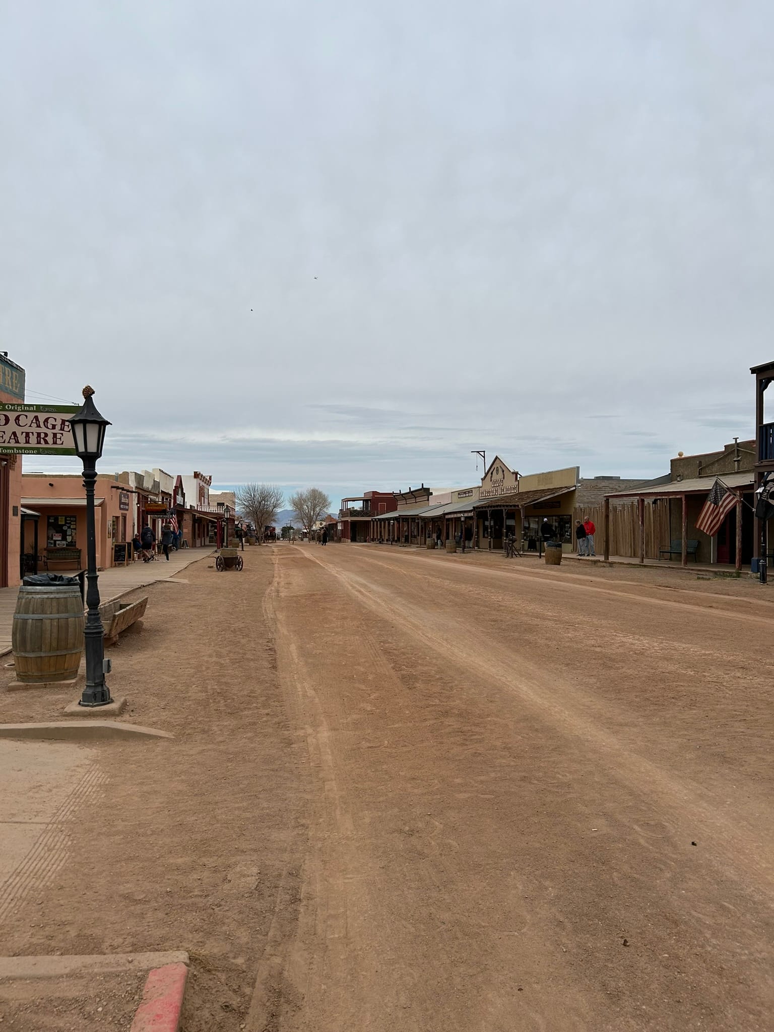
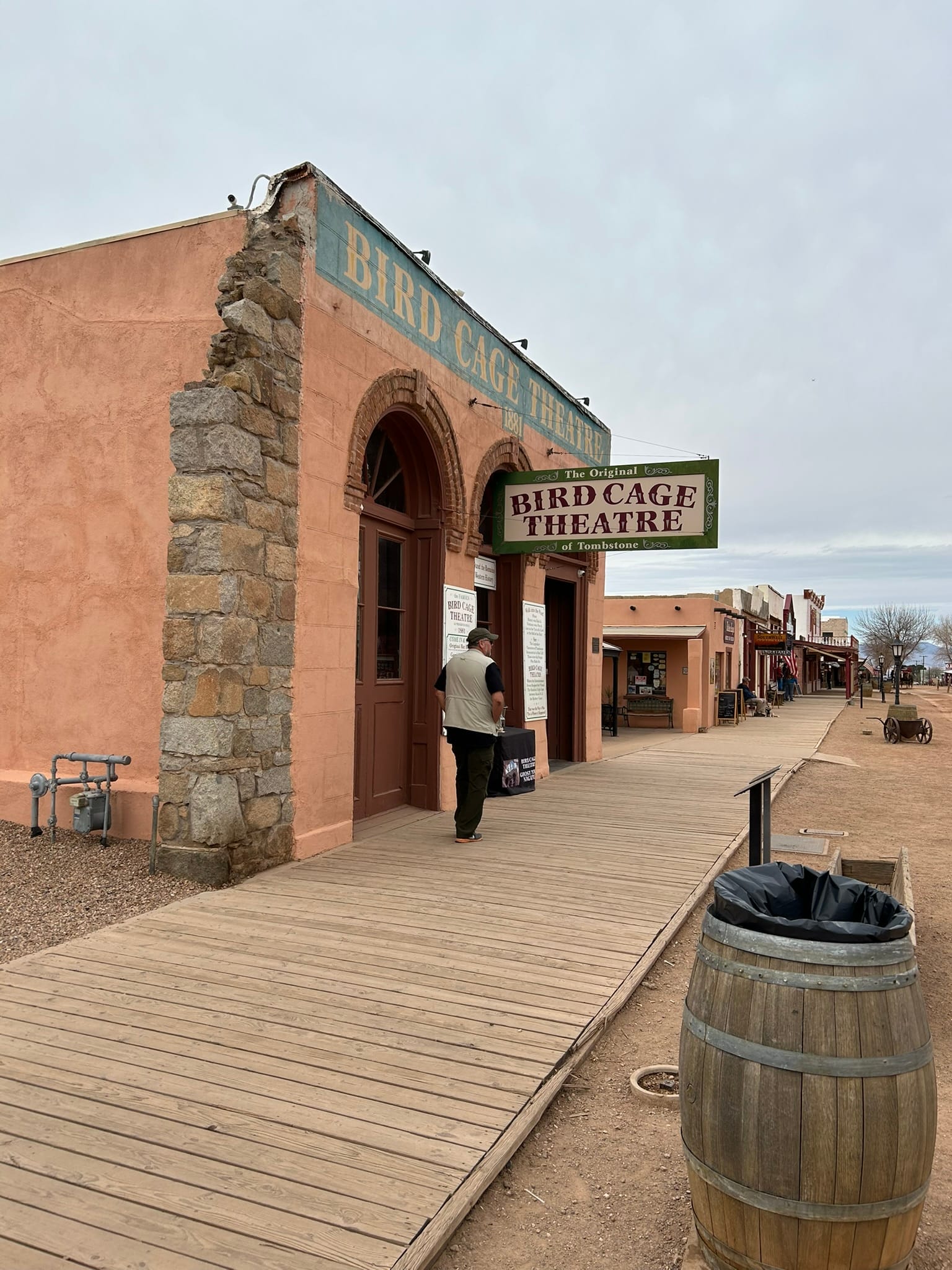
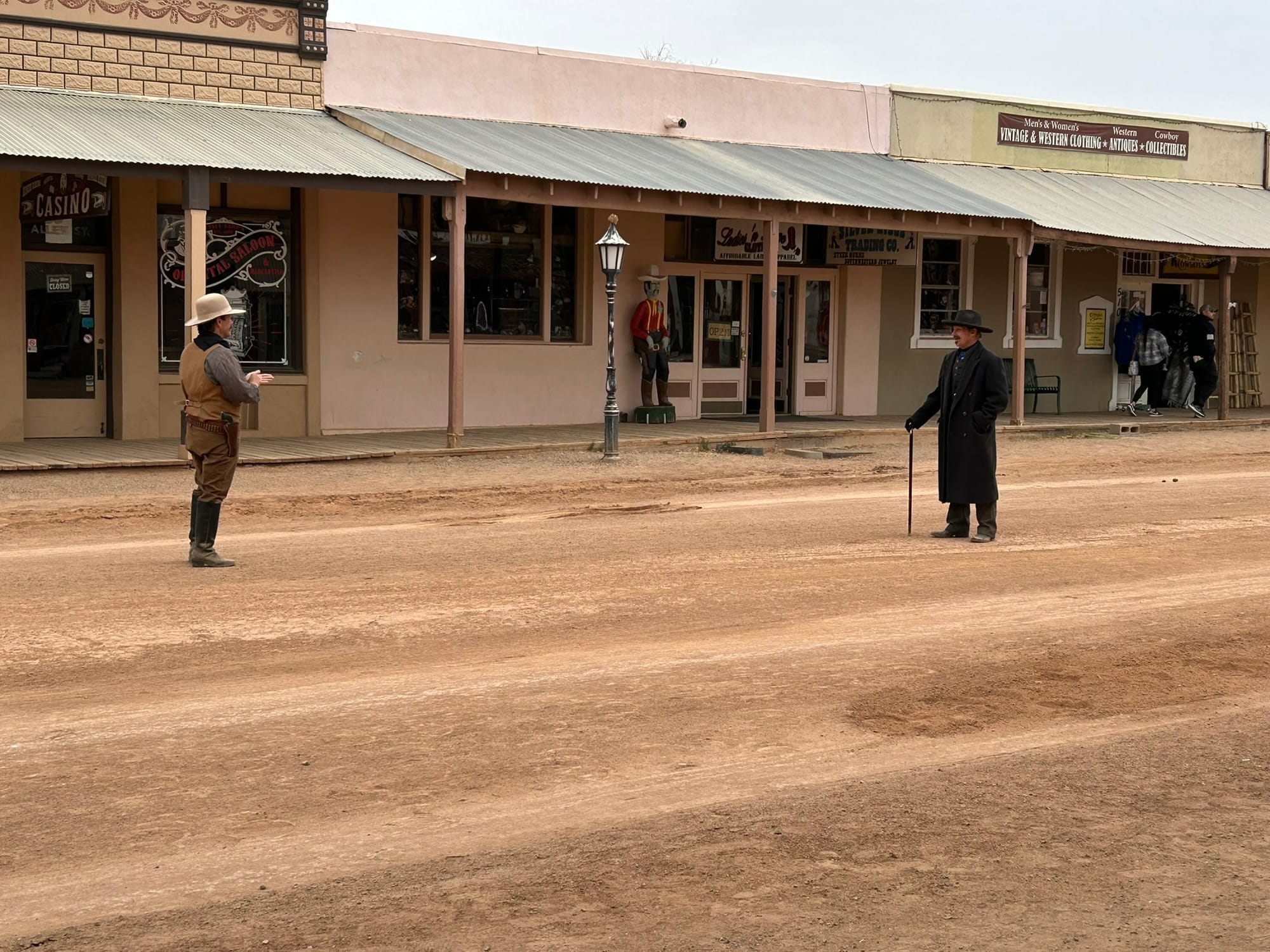
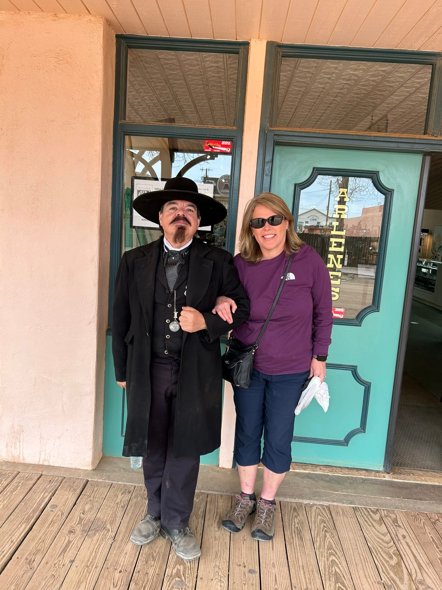
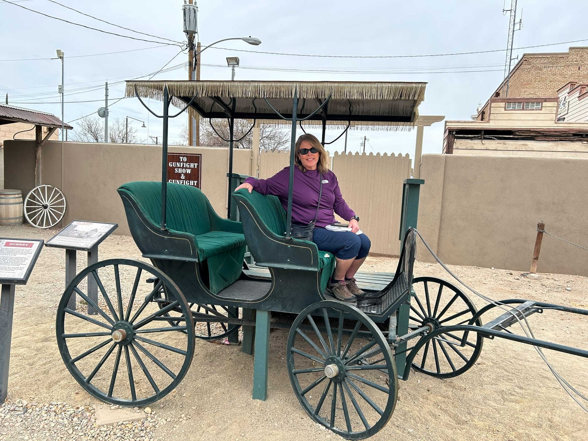
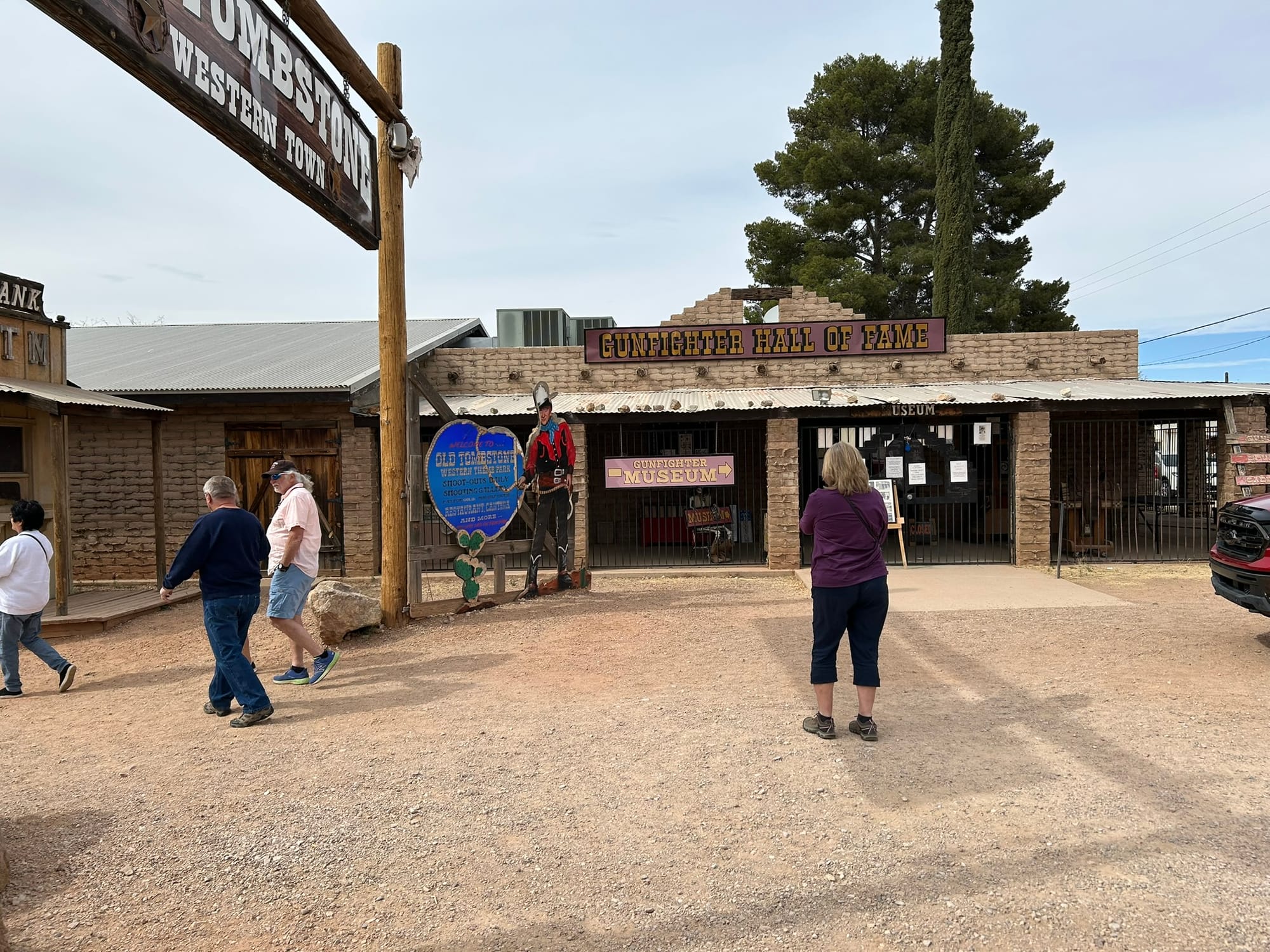
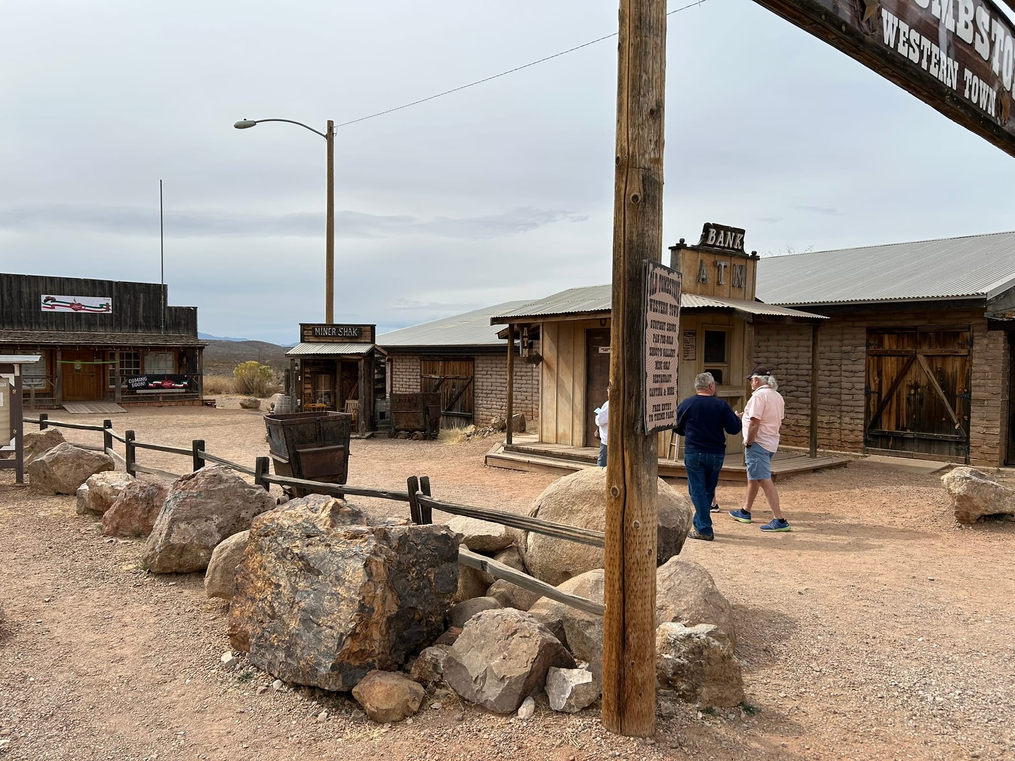
Tombstone, AZ
Kartchner Caverns State Park, AZ
We headed out from the winery and proceeded along I-10 to our next destination at Kartchner Caverns State Park south of Tucson in Arizona. The desert southwest drive was mostly the same as previous days but we did cross what looked like 10 miles of salt flats with all sorts of warnings about sand storms and what to do in one. We also passed by a section of mountains that were completely different from the others we had seen so far. Most of the mountains were fairly smooth in shape but this section was all stacks of giant boulders! It was so different and cool that I hated to leave that section of road.
We got to our turn off and headed south to Kartchner to check in. Kartchner is a nice little park mostly famous for it’s cave that sits along a slope up the mountains. We didn’t get tickets to the cave since we had a bunch of other things planned. They have two loops of RV / Camping spots along the slope and ours was a back-in up the hill so our rig is very nose high just to be level. They have several buildings with toilets but the park seems to have very low water pressure around 19 psi. That's enough to shower but not by much! Each site was rather spacious particularly those on the outside of the curved roads as ours was. They also have a visitor's center with trinkets for sale though they were completely out of shot glasses and trails up around the mountains. During the night you can hear the coyotes howling. It's supposed to be dark sky country but we were getting close to a full moon so no amazing sky for us. For the price, it was a very nice place to stay especially if they push up the water pressure.
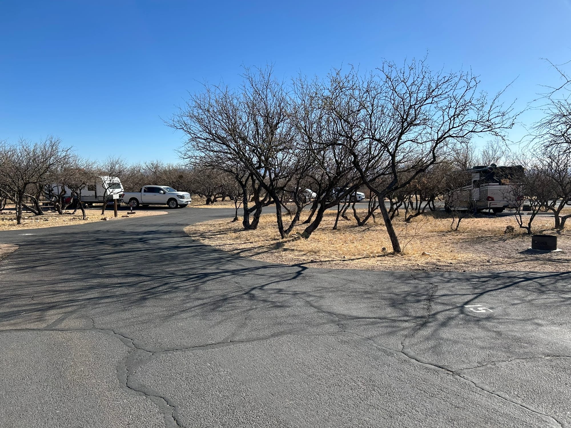
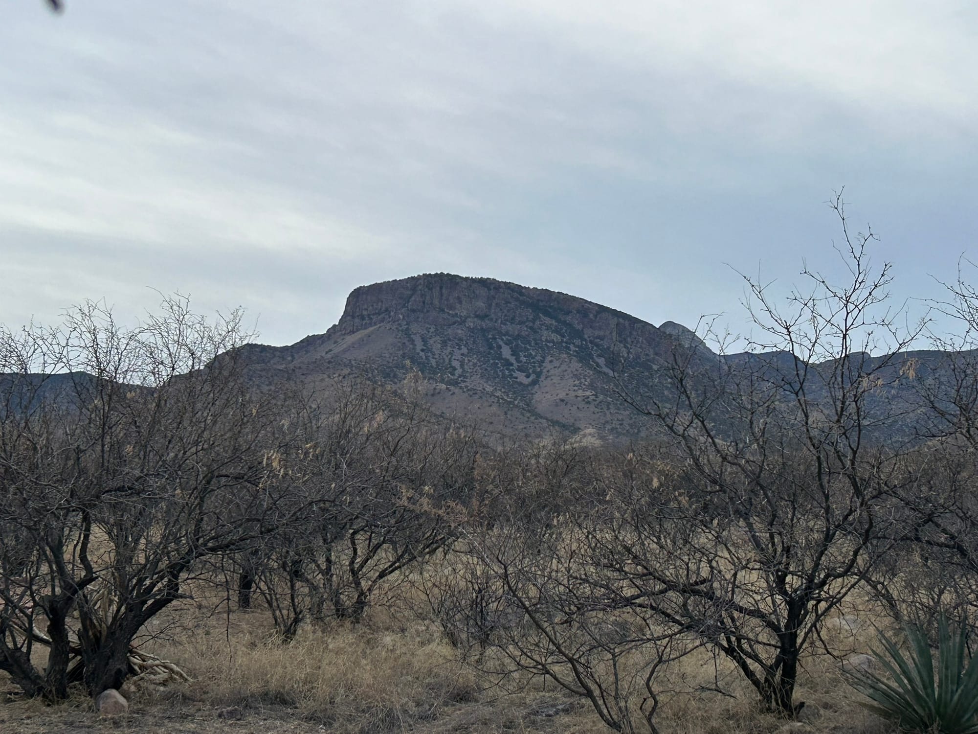
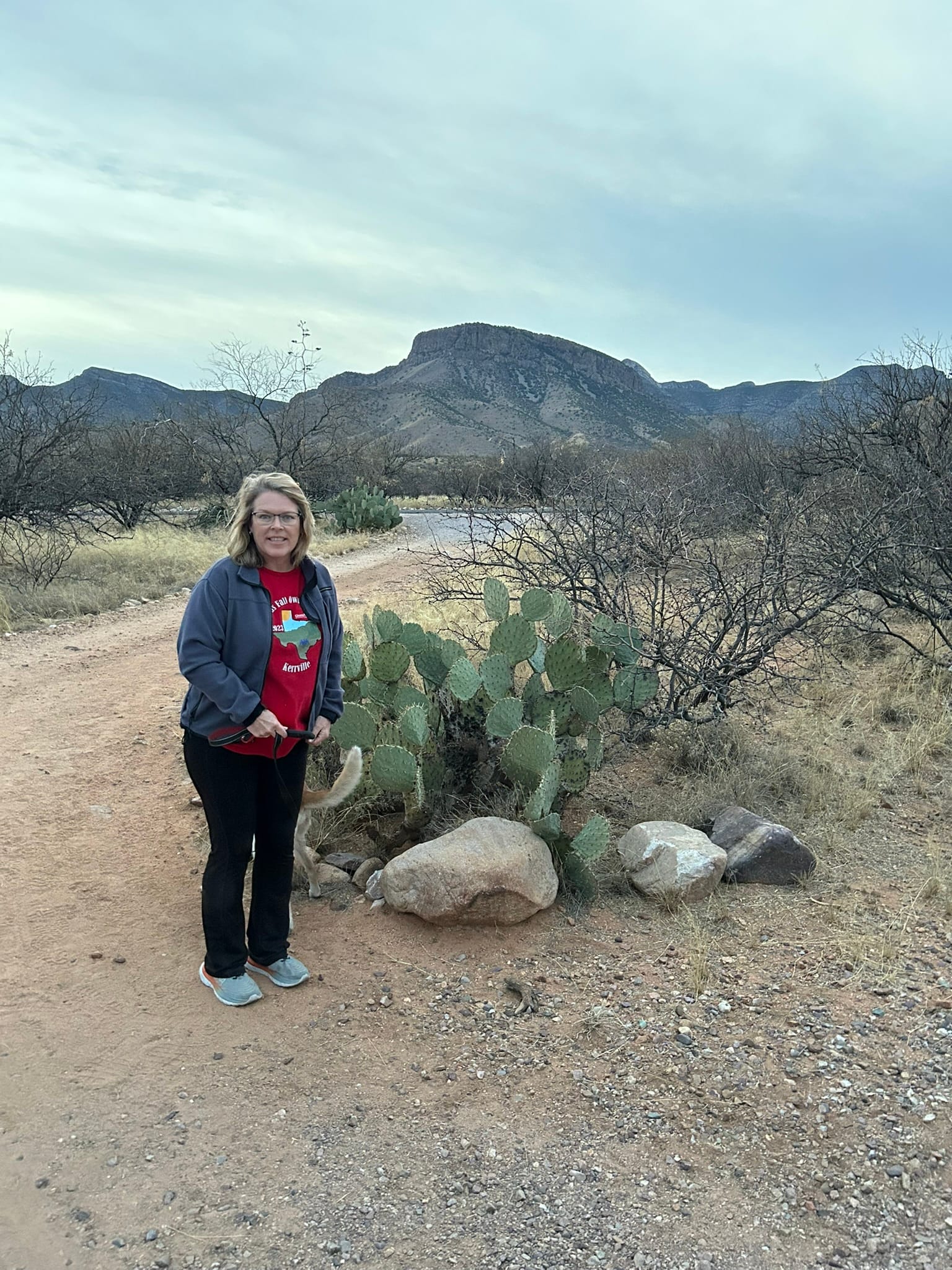
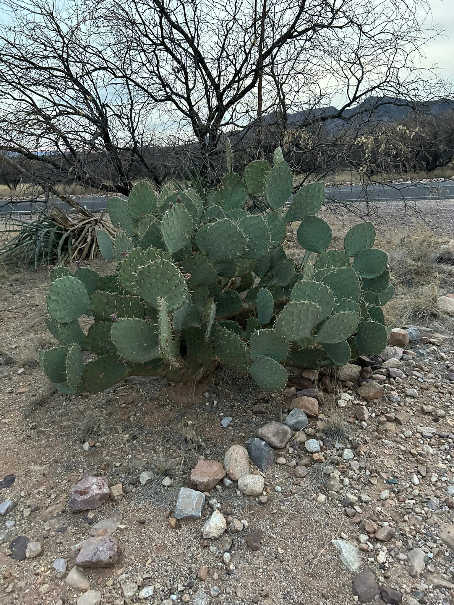
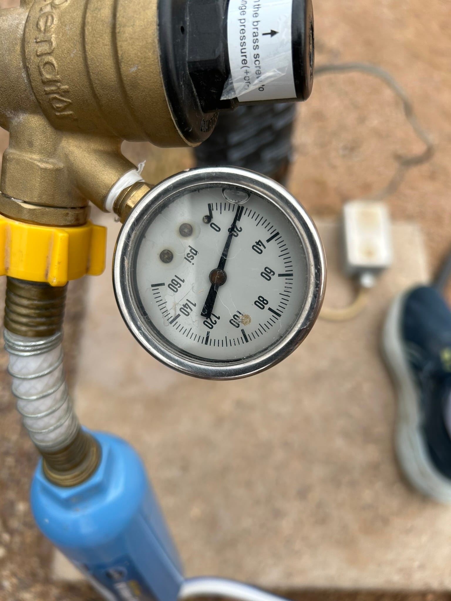
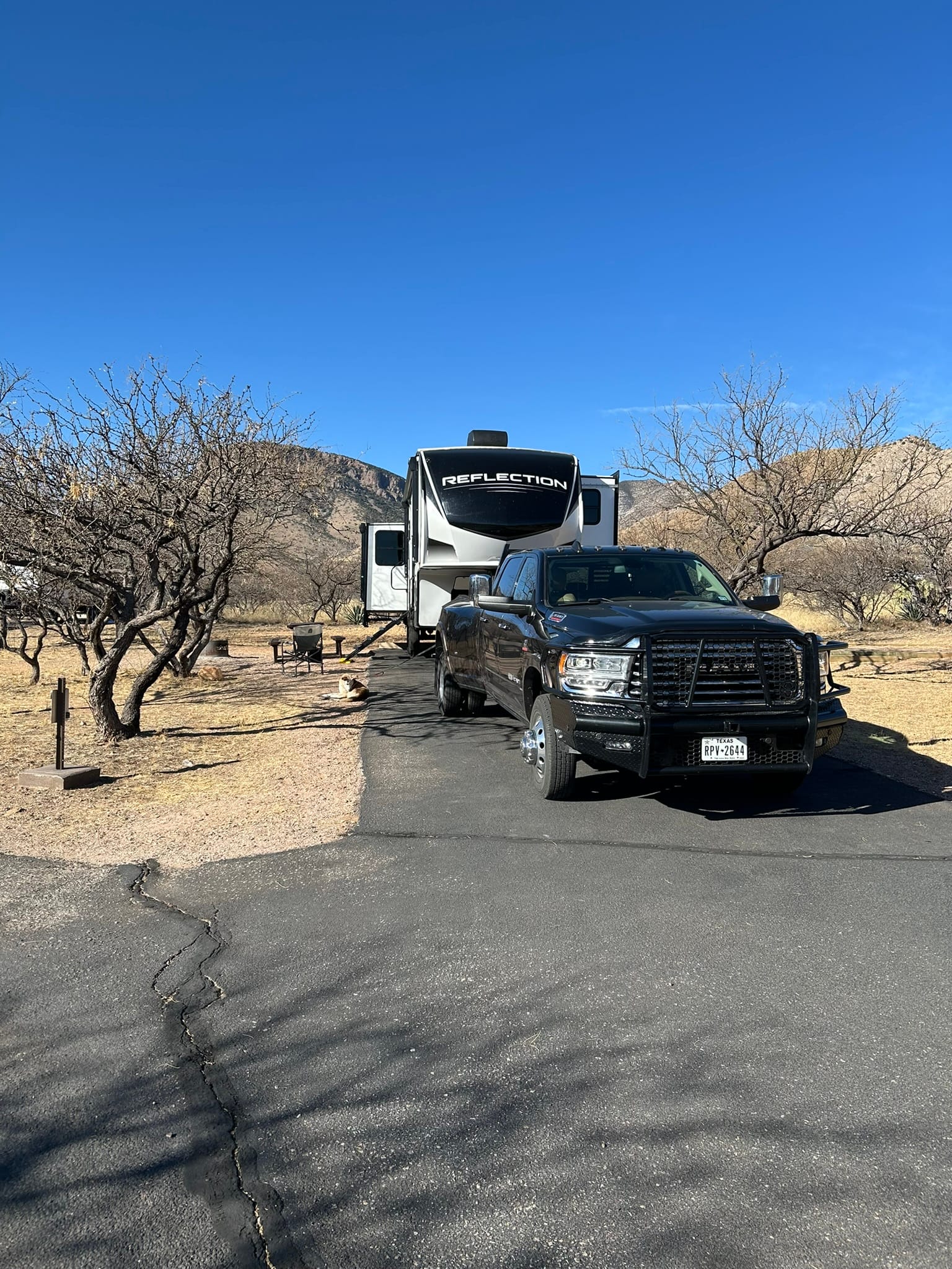
Kartchner Caverns State Park, AZ
Rio Grande Winery, Harvest Host, NM
We headed out along I-10 again on a beautiful cloudless day for our next destination near Las Cruces where we would be camping at the Rio Grand Winery (RGW). The drive was very pleasant through the various mountains of west Texas. The scenery had that brown, rocky desert southwest look but the craggy beautiful mountains made up for the lack of other scenery. Even so, the drive dragged on a bit. As any map will show you, as we approached and passed through El Paso I-10 passes close to the border with Mexico. It was surreal to look across the desert mile after mile and see the Rio Grande valley and occasionally get a glimpse of the Rio Grande itself. All the while we were admiring the beautiful mountains that were across the river in Mexico.
I-10 through El Paso was completely closed and we were directed around north loop 375 which took us well out of town to the north up through the Franklin Mountains State Park and then back down the mountains on the other side and back into El Paso. It was 27 miles of mostly beautiful mountain drive. When we got back down and managed to get onto I-10 west again, the highway was completely torn up and under construction just about into New Mexico.
We continued the next 20 minutes or so to our exit and proceeded back off the main drag south of Las Cruces to the winery. When we pulled in we found a spot along the back row with other campers. As the evening wore on 2 more campers came in and parked in another side of the parking lot. The winery is a popular destination for users of Harvest Host in this area! The view from the winery is spectacular. They are circled by farmland there are amazing views of mountains backstopping the ambiance of the place. We highly recommend coming to this remarkable facility if you get the chance.
Since we were staying at a Harvest Host they request we support the host with our patronage. They had a nice selection of wines and Kim and I tried a bottle of sweet white. It was a Saturday night and the winery had live music and a food truck that we enjoyed with our fellow campers!
We are totally boondocking this trip and I was concerned because the battery hadn't been recharging well since the last power issue. It did finally reach 100% but only a day before we left LMRV. By the time we came inside the RV at midnight with only the refrigerator pulling current for the last several hours, the battery was down to 54% which I think indicates the battery is damaged. We didn’t think it would last all night just powering the fridge so we didn’t want to turn on the heat. The outside temp dropped to 41 overnight and we huddled under the covers like puppies to keep warm! I kicked on the heater in the morning with the battery down to 34% and in less than 10 minutes it was down to 31 and was dropping fast.
We definitely need to make the jump to Lithium technology for the battery and may need to look at adding some more solar panels to extend our stay. We don’t really need 120V overnight as I can run a generator when we decide we need it for A/C, charging, or microwave and we have a Jackery for portable A/C.
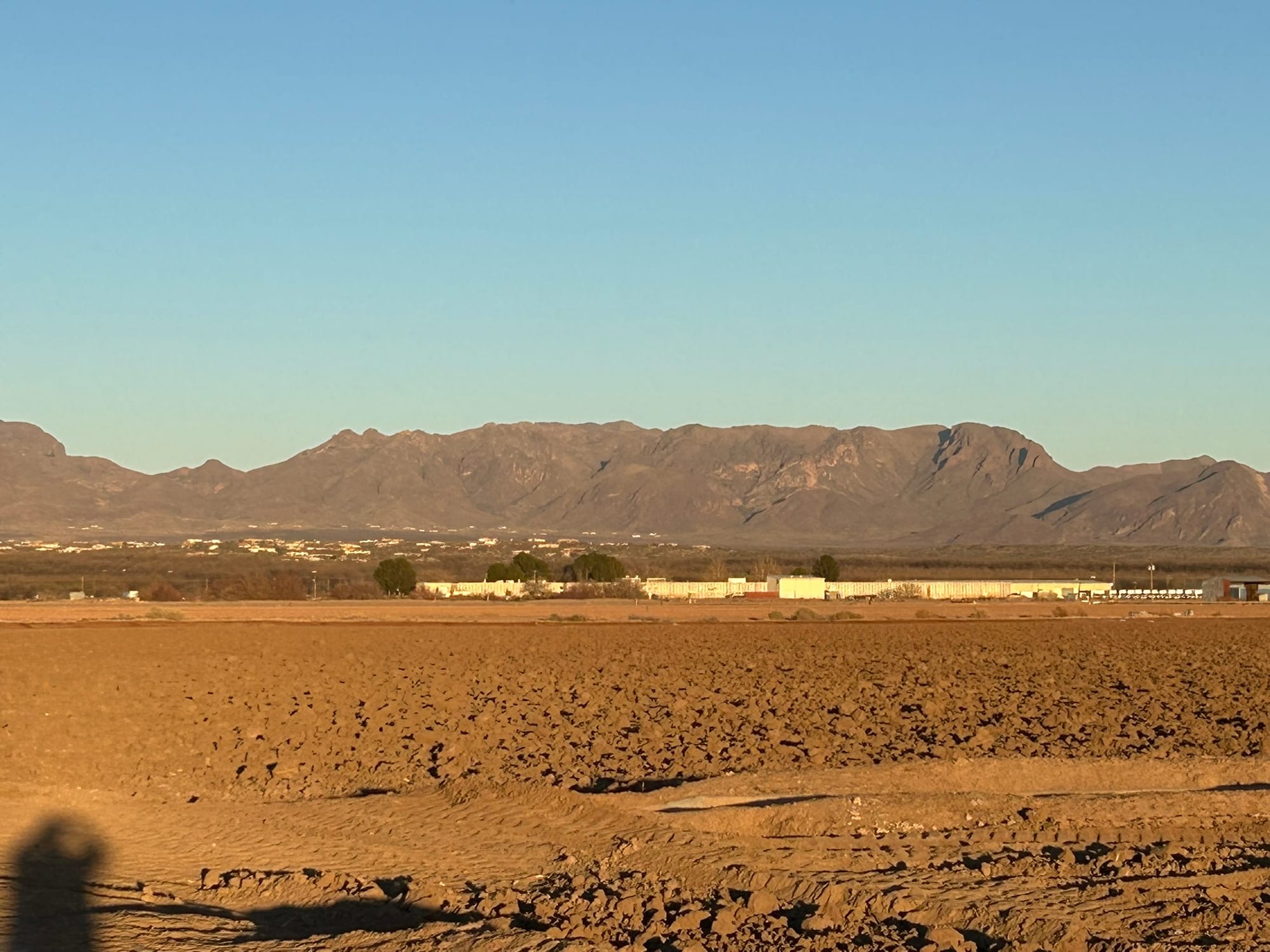

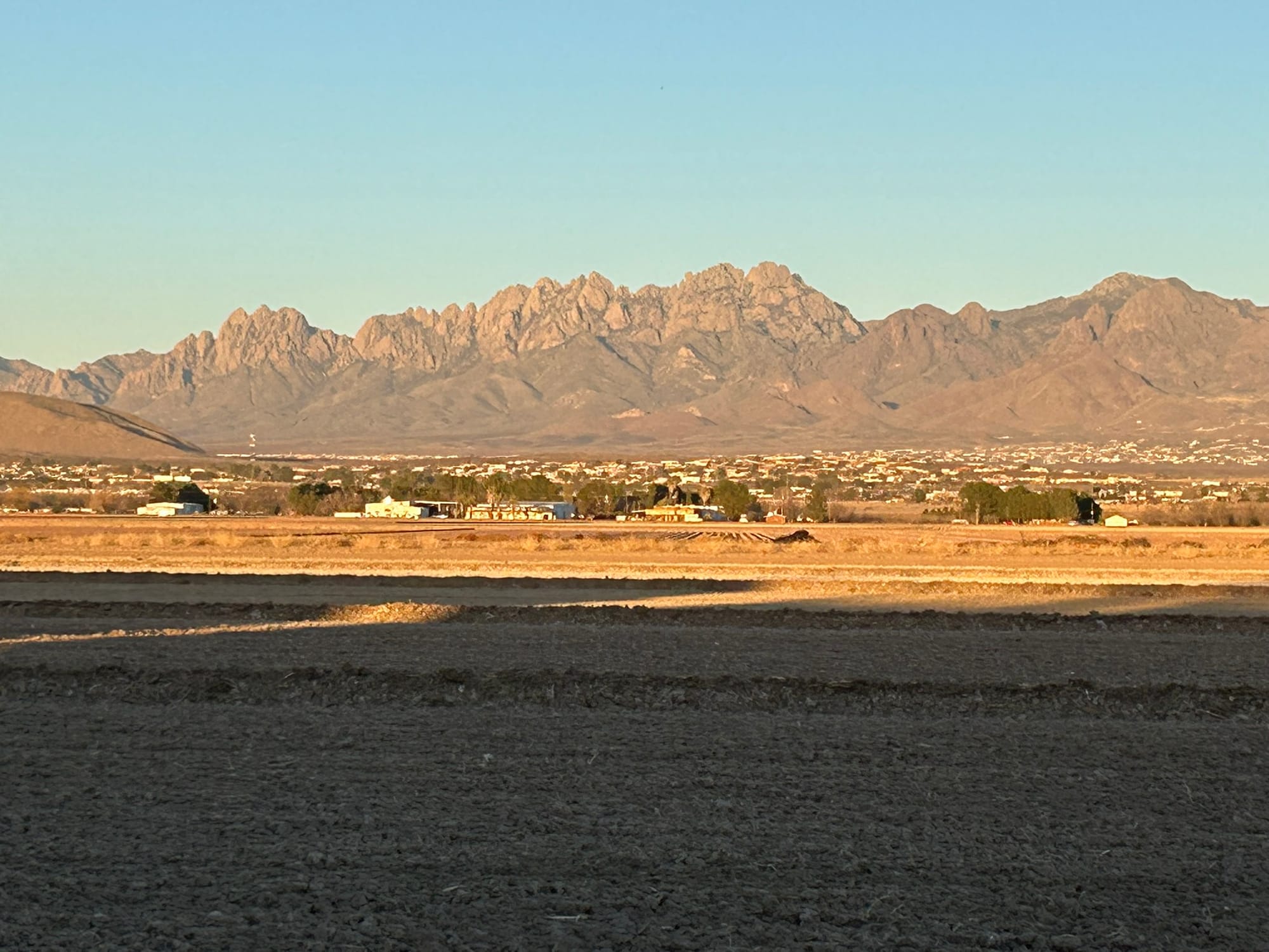
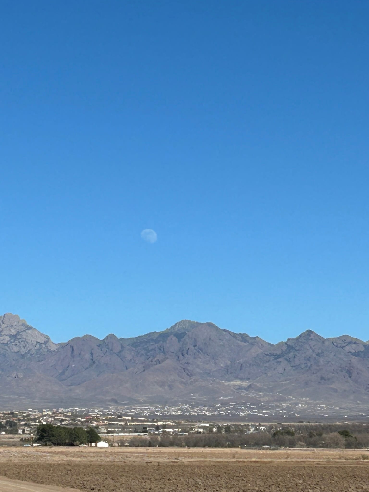
Rio Grande Winery, Los Cruces, NM
Balmorhea State Park, TX
We went out west from Medina Lake through the Hill Country over the not-quite-mountainous terrain and passed down into the valley where Junction is. After that the geology changed into huge wide valleys with mesas at the edges. The Mesa's rocky base falling away gradually to the floor in sweeping arcs that left me wondering where the rest of the rock and dirt had gone over the millennia. There didn’t seem to be a river or anything else to erode and carry it away but clearly these valleys were carved by some force of nature. The trees fell away and scrubby brush took over and the Davis Mountains hove into view as we approached our turn off I-10.
We turned off the highway and headed southwest towards Balmorhea through a couple of small towns and turned left into the park. It’s a very small park known for the CCC created, spring-fed pool, that also has cabins and a relatively small campground. They have two loops for RV camping and as we came into our spot we saw a young family tent camping in front of us with two young kids that reminded us of ourselves nearly 30 years ago!
This is dark sky country but the moon is out at this time of the month. We are planning to come back this way at the end of March to enjoy the New Moon and amazing skies. Even though it was 94 degrees when we arrived, the heat wasn’t really oppressive like it is at LMRV because there is so little humidity. There really is a “dry heat” effect. I never felt sweaty or miserable like I usually do at that temperature and above. As the sun set, the temperature dropped precipitously and a cool breeze popped up that was quite chilling. The dry cool air felt almost magical after the warmth of the day and the long drive. For the first time since buying our RV 3 years ago, we slept with the windows open to enjoy the desert cool air!
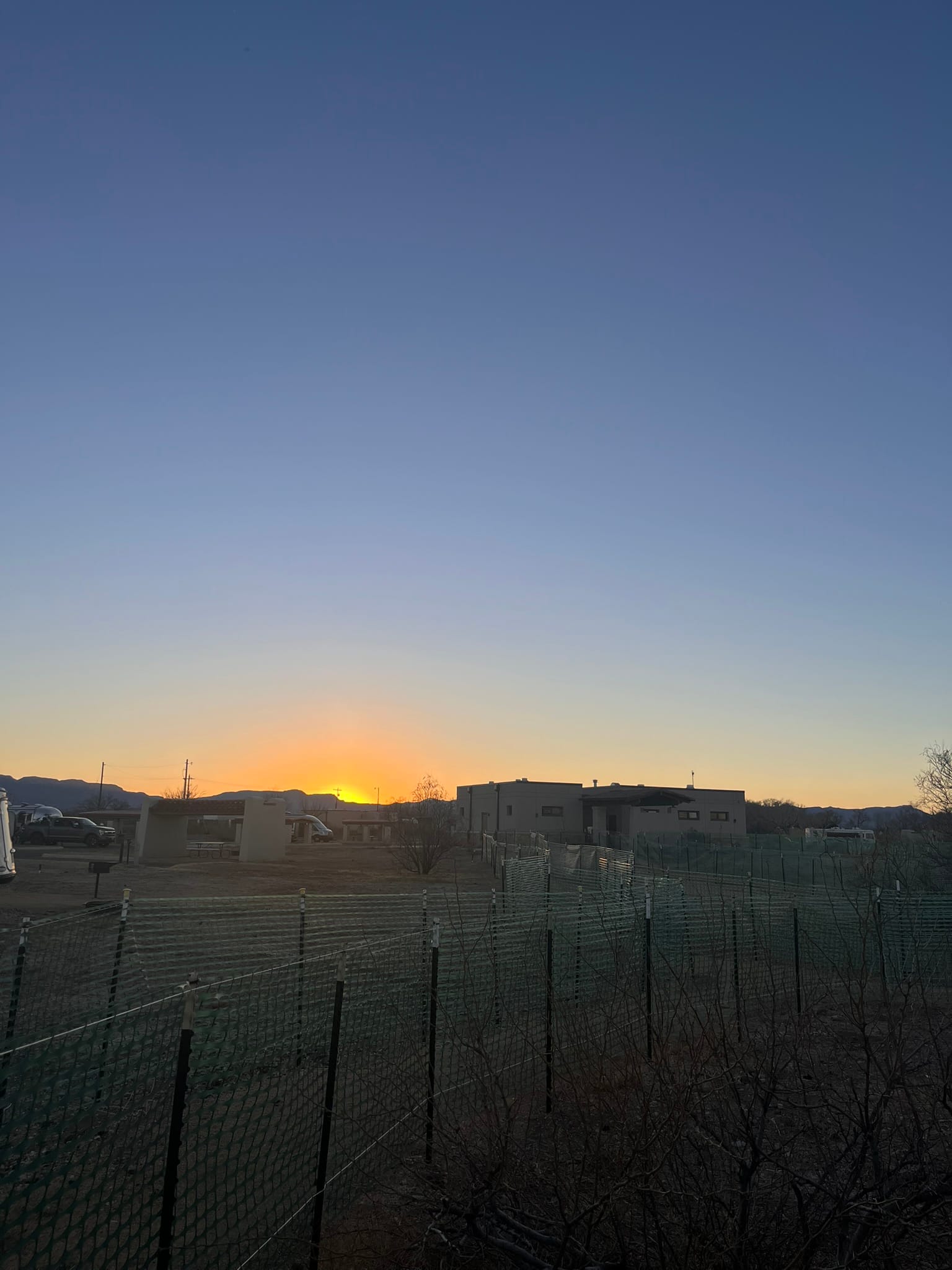
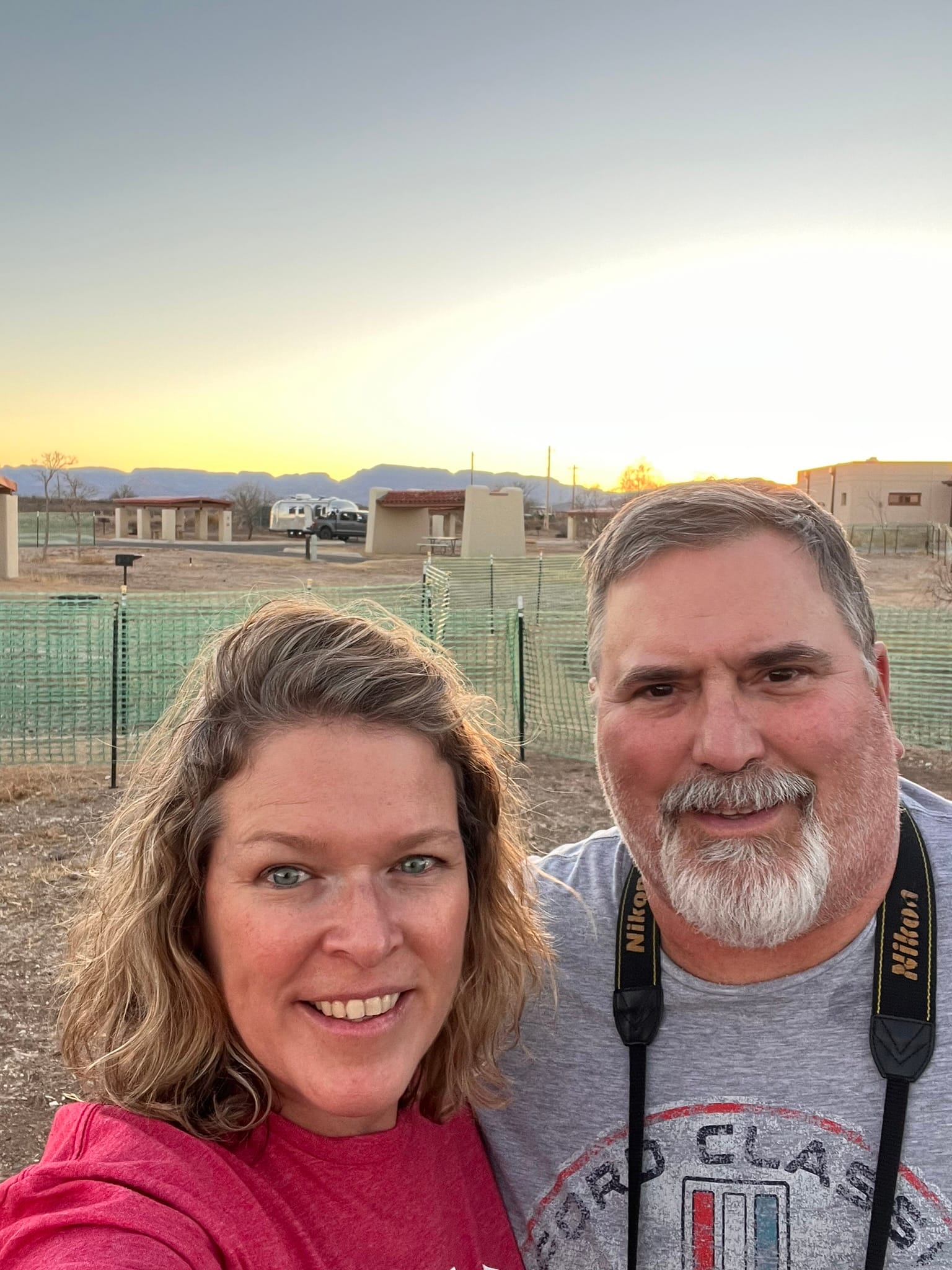
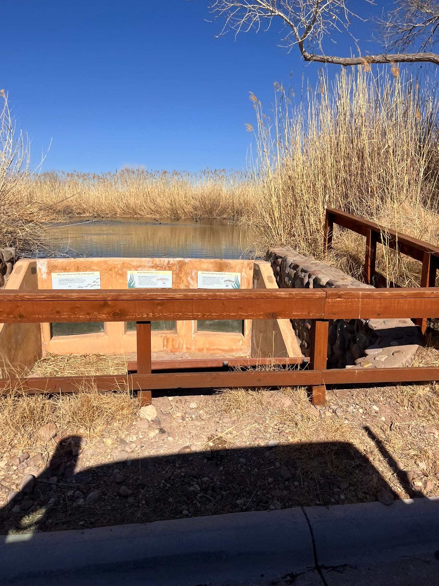
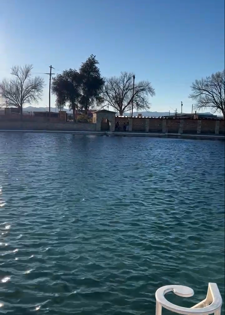
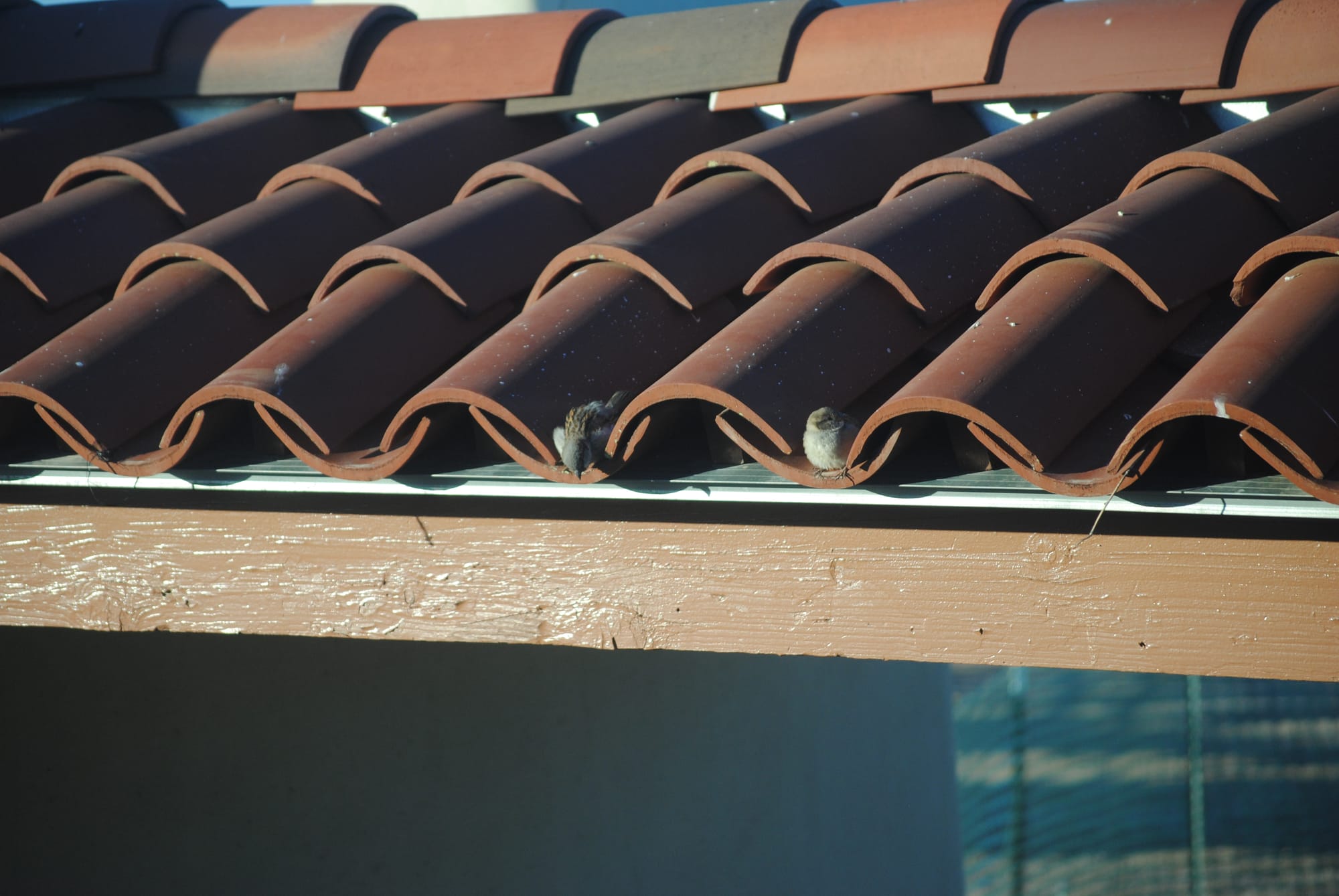
Balmorhea State Park, TX
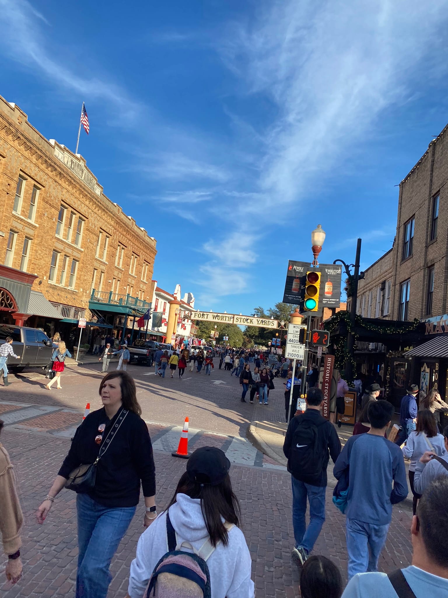
The Stockyards, Fort Worth, Tx
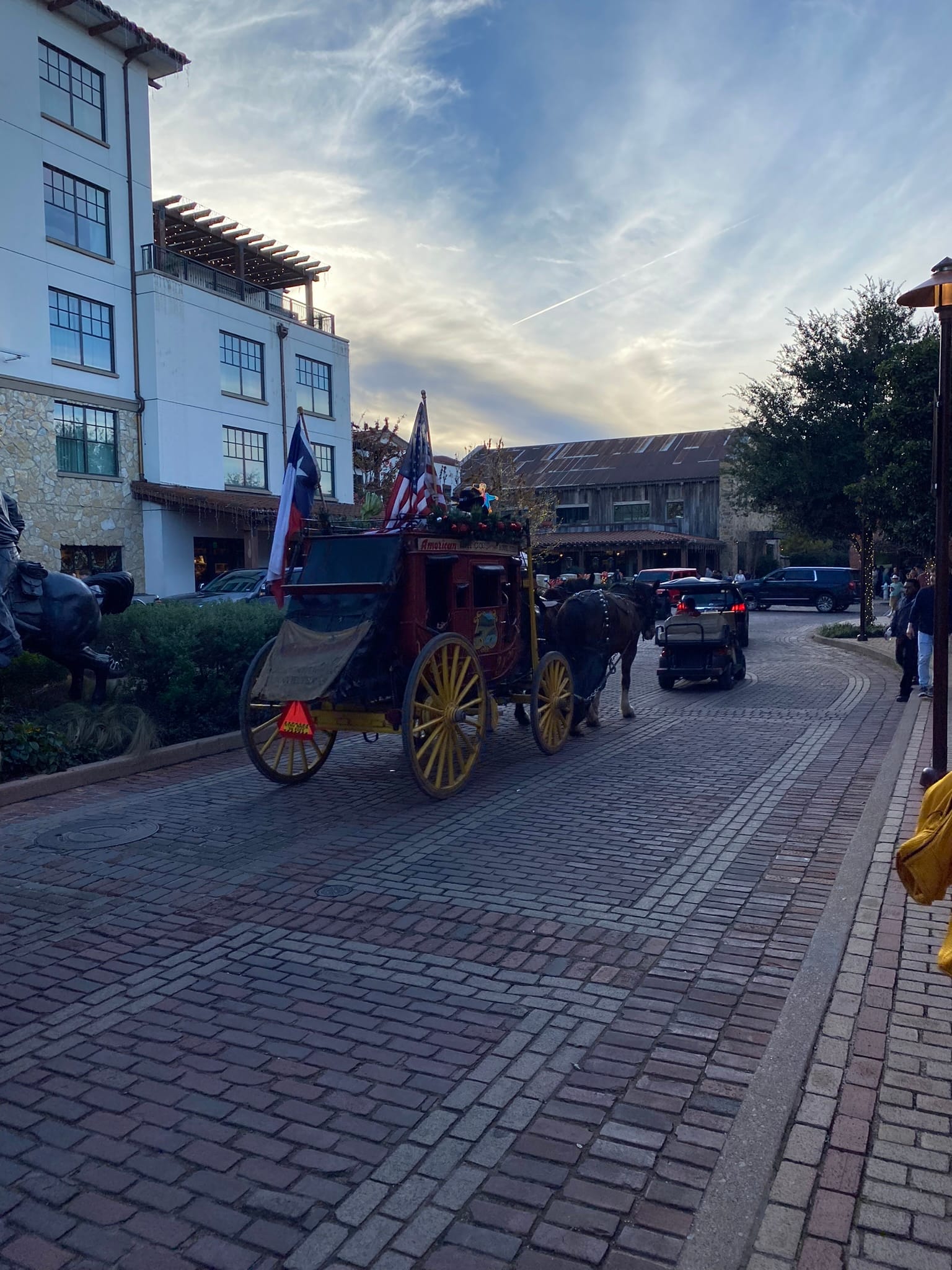
We went to the Stockyards in Fort Worth in time to see the cattle drive. It was interesting to see though a bit underwhelming really. Just a few longhorns and 6-8 cowboys riding through the street. The area itself was very crowded. Kim's cousin and our guide for the night, said he had never seen it so crowded and we learned later that there had been a bowl game at TCU’s stadium and these were likely the attendees rolling into that area after the game. The place was mobbed!
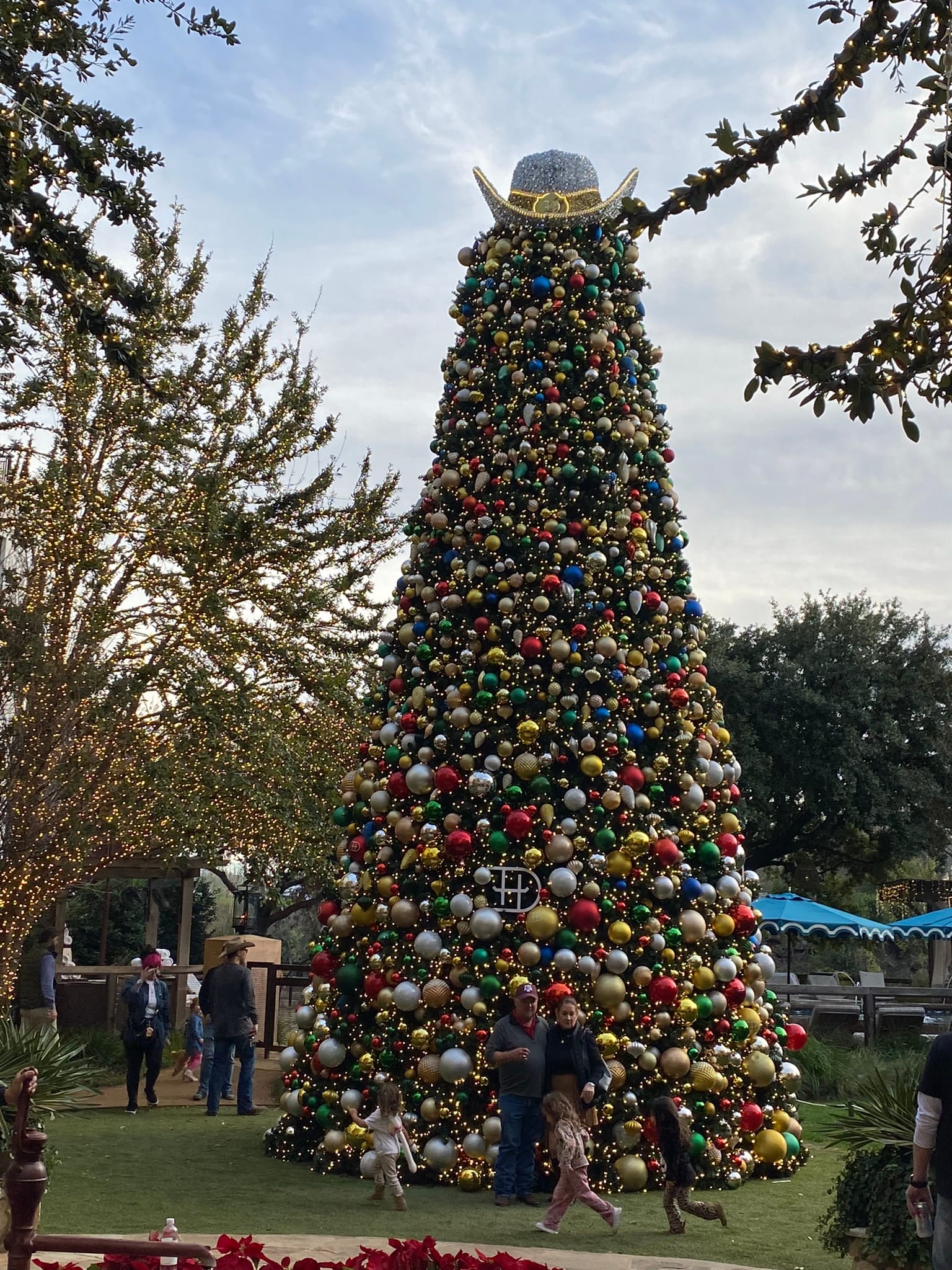
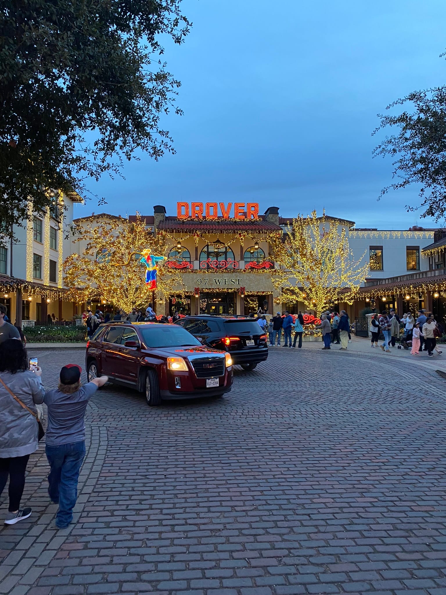
The Stockyards area was all decked out for Christmas and was really beautiful to see. There’s a ton of bars, restaurants and shopping and you could walk around with open containers of alcohol in the streets. We walked around the area and went over to the Hotel Drover that has a very nice patio area and hung out along the river catching up and then went to find some dinner. It was still crowded in that area so we went “up the hill” a block or two and found a cool little burger joint.
RV Hall of Fame and Museum, Elkhart, Ind
We arose to a windy, very cool day in Elkhart where we had boondocked at the RV Hall of Fame and Museum. One half of the museum houses a huge array of historical RVs from the very early days to modern times. It was really interesting to walk through the museum and poke our heads into the RVs, especially the really early ones to see how far technology has come. Some of the really early ones would barely hold a person.
The other side has example Manufactured Homes which were pretty nice inside! It also hosted a library and Hall of Fame featuring some of the major players in RV manufacturing and design.
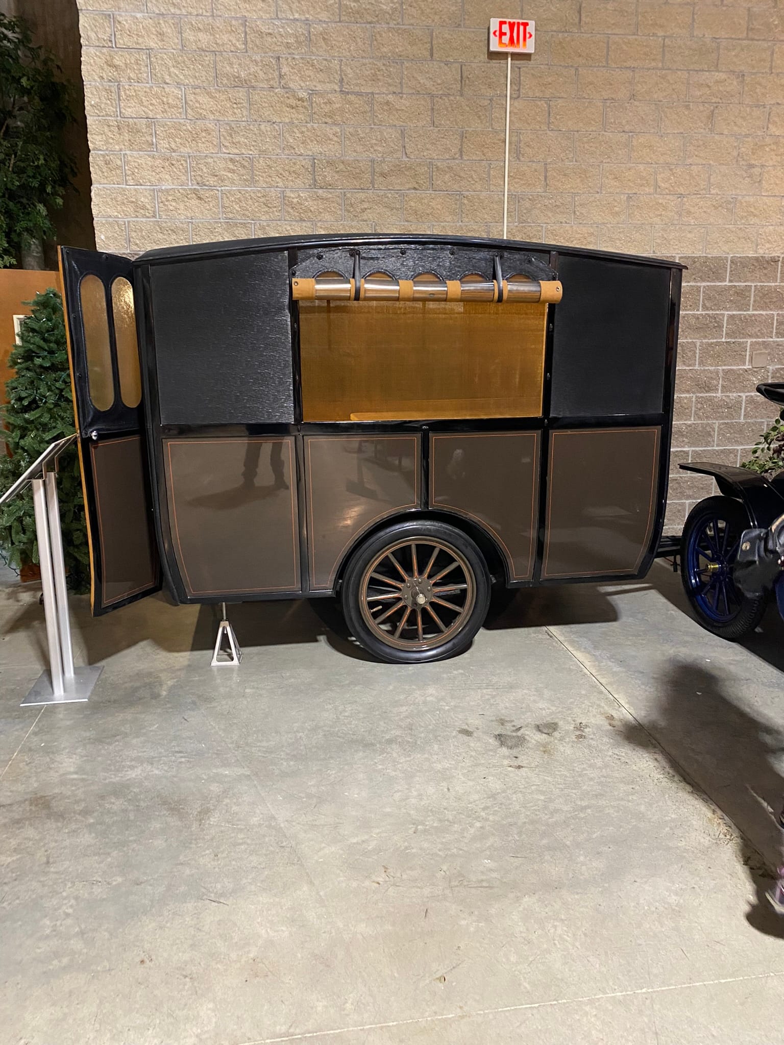
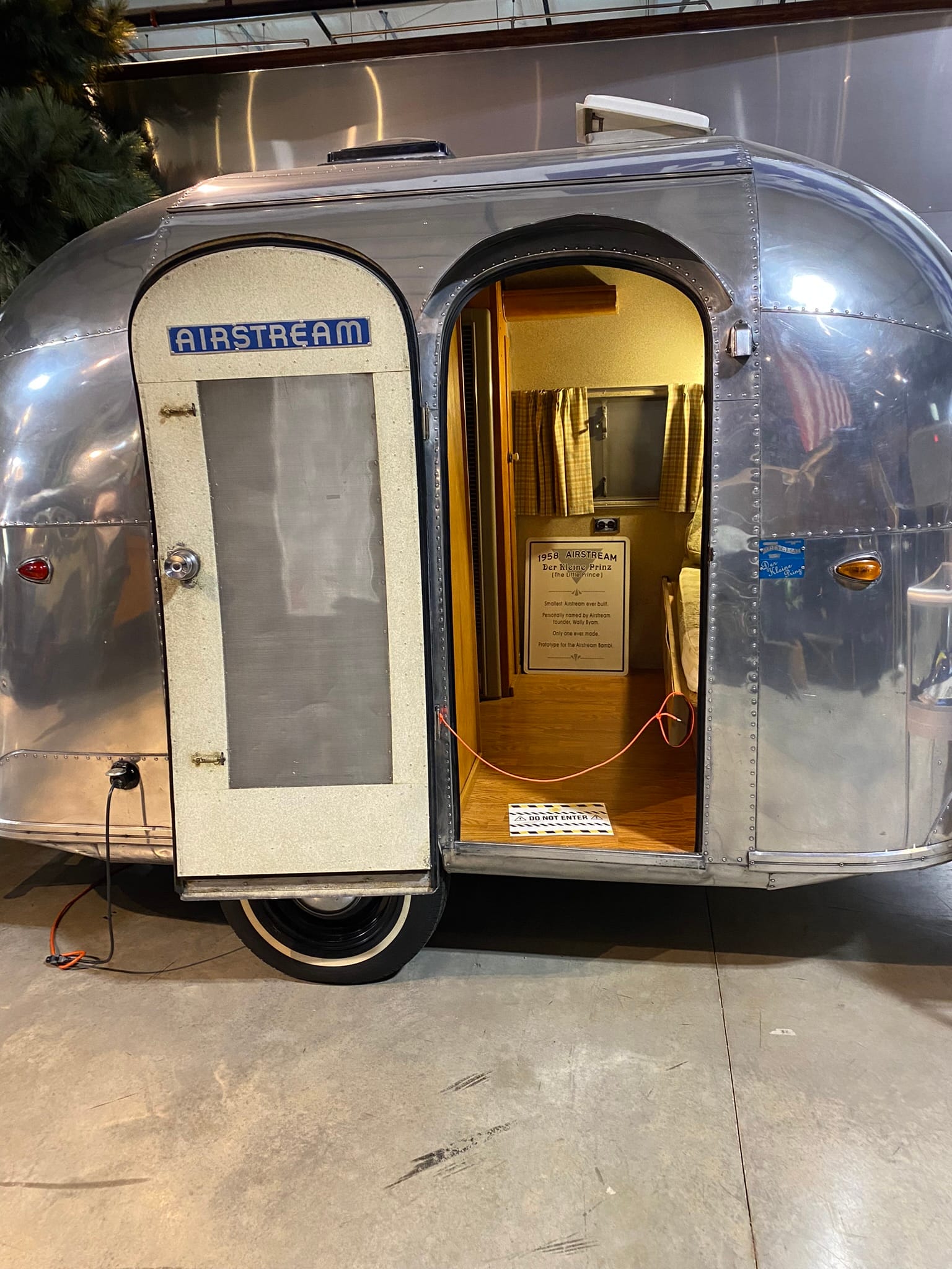
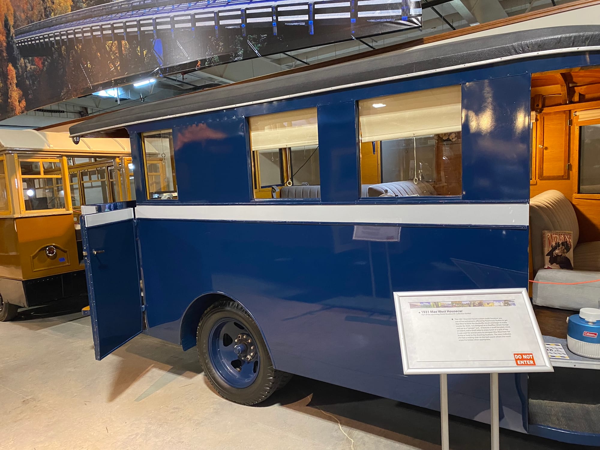
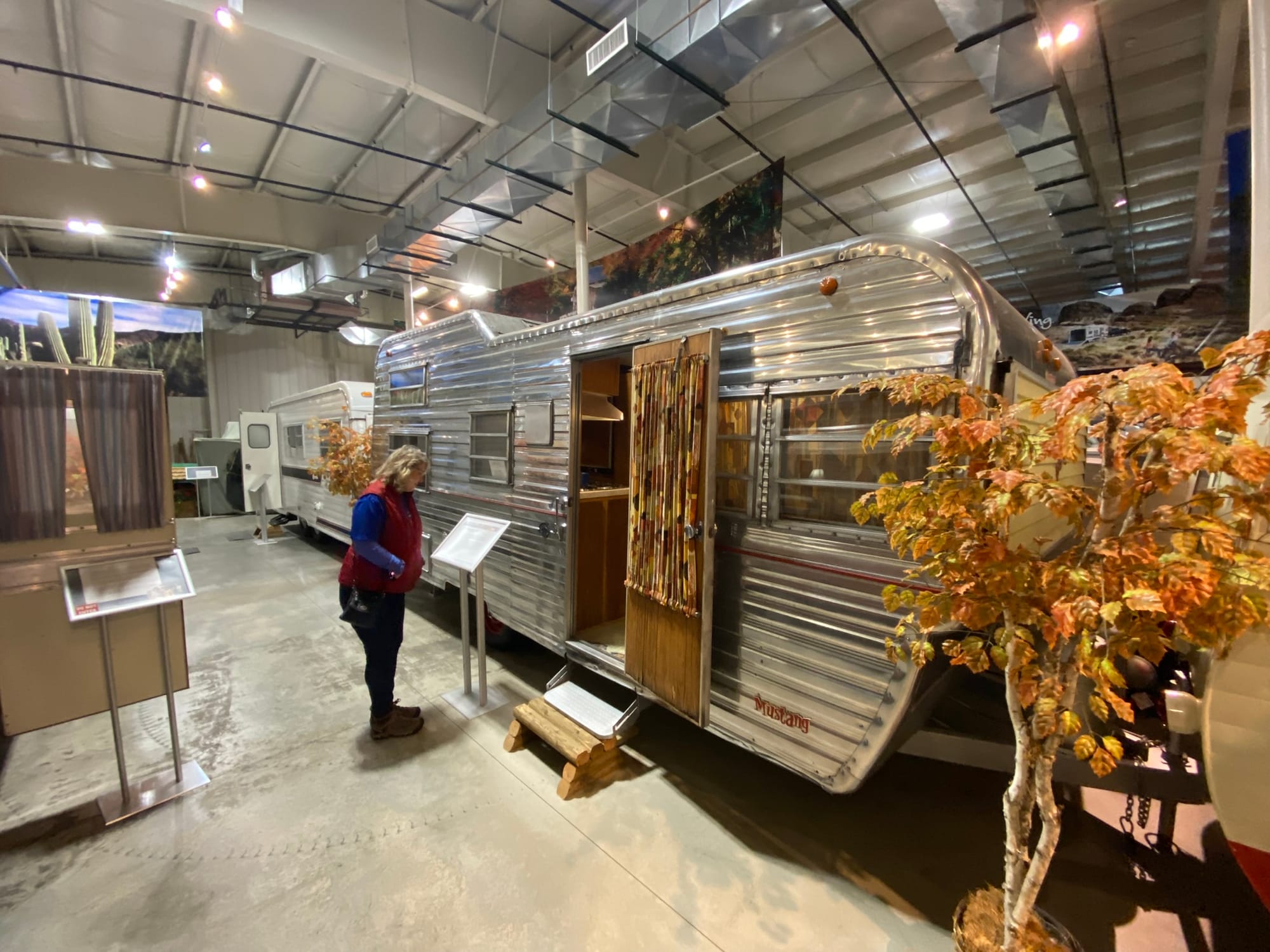
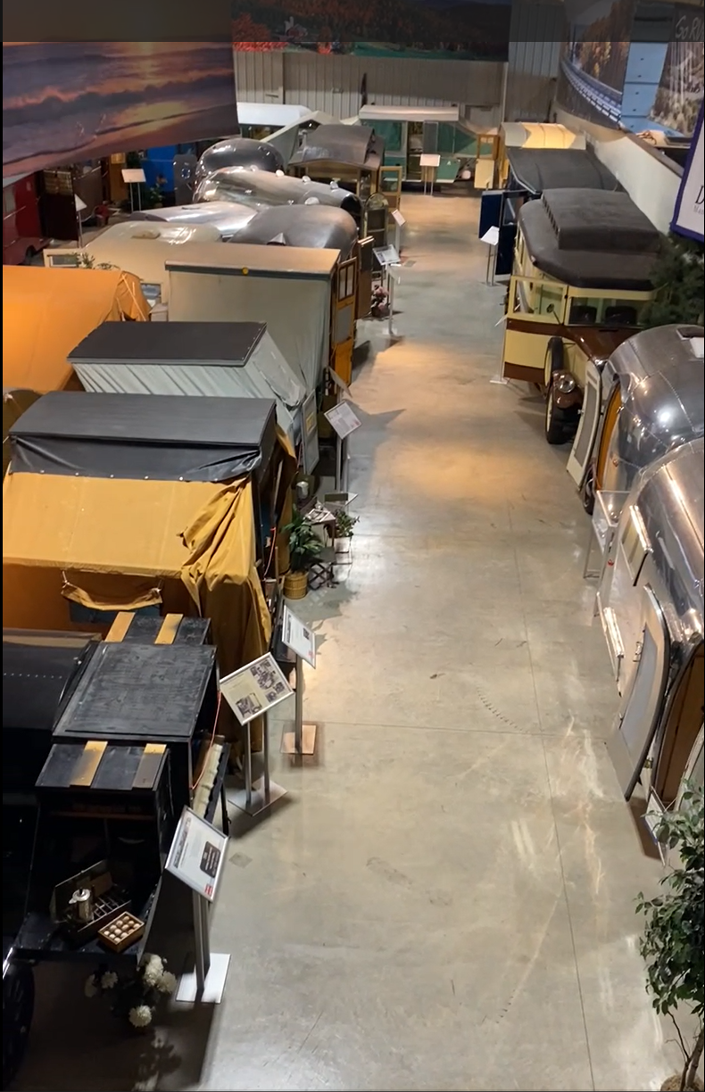
RV Hall of Fame and Museum, Elkhart, Ind
Casey, Illinois
During a trip to Pennsylvania to spend Thanksgiving with family, we stopped in the little town of Casey, Illinois, not long after we got on interstate 70. That town is known as the home of several “worlds largest“ including a huge rocking chair, windchimes, teeter totter, wooden pitchfork, wooden coin, golf tee, and antlers just to name the ones we saw. It was a cool little town! If you are passing by it’s worth the stop!
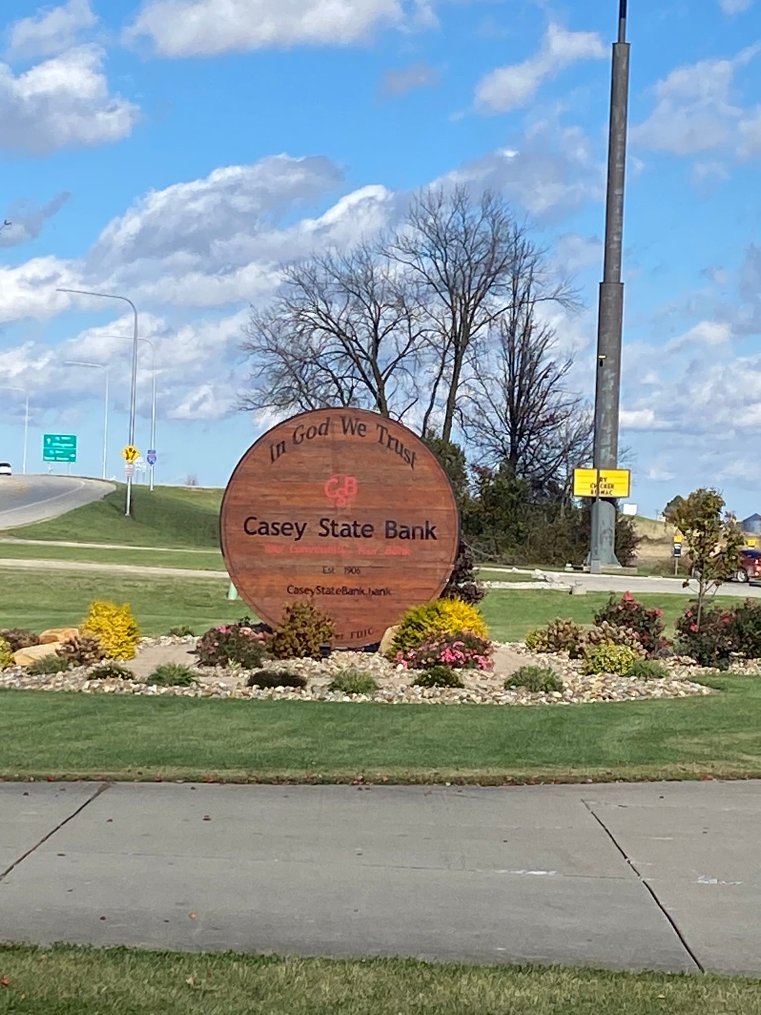
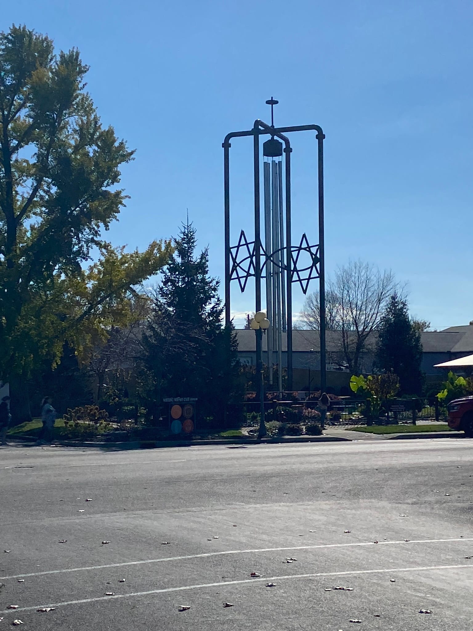
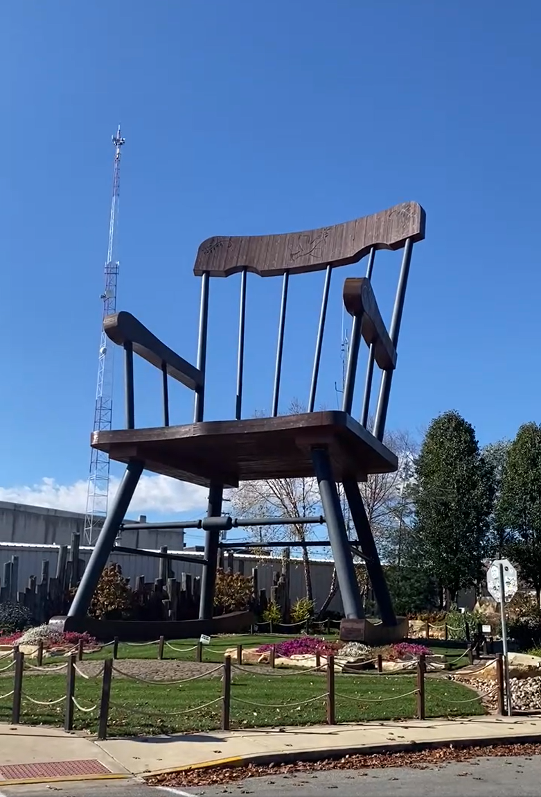
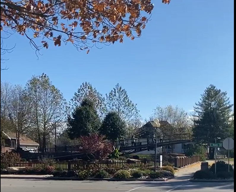
"World's Largest" Examples in Casey, Ill
Riverside, Iowa and The Voyage Home Museum
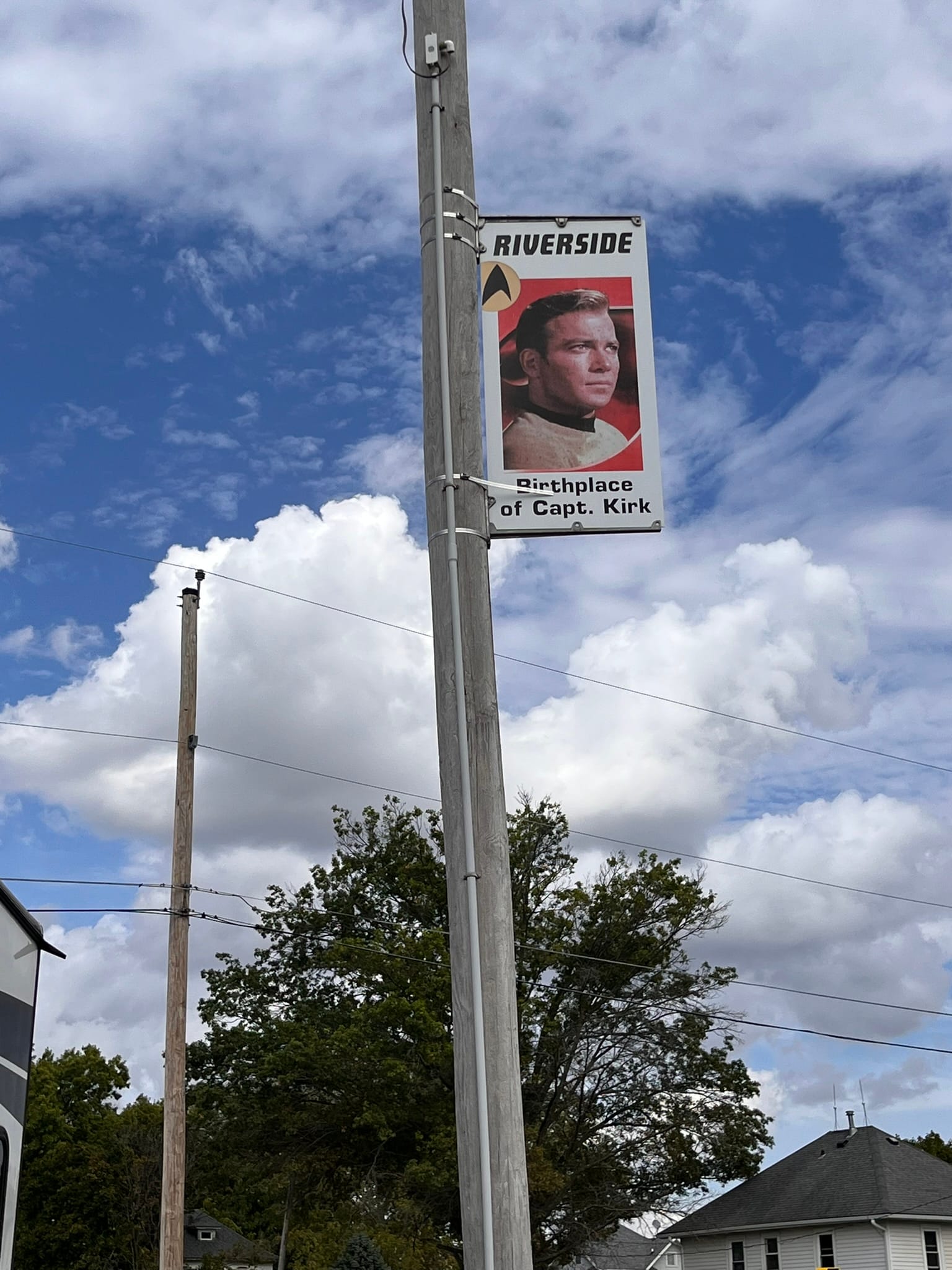
We were on our third travel day in a row and these turn and burn one nighters are hard on us. We were heading back from Minnesota and Wisconsin and were traveling through eastern Iowa which was actually rather hilly and as you’d guess mostly farms all the way. We like to take the back roads and see some sights along the way as you've probably surmised. On this day, we had one “fun” stop and it was a surprise to Kim, not FOR Kim. It was for me! I had noticed that we were passing close by The Voyage Home Star Trek Museum in Riverside, Iowa. Riverside claims to be “the future birthplace of Captain James T. Kirk”. I guess if you claim it, it can become lore!
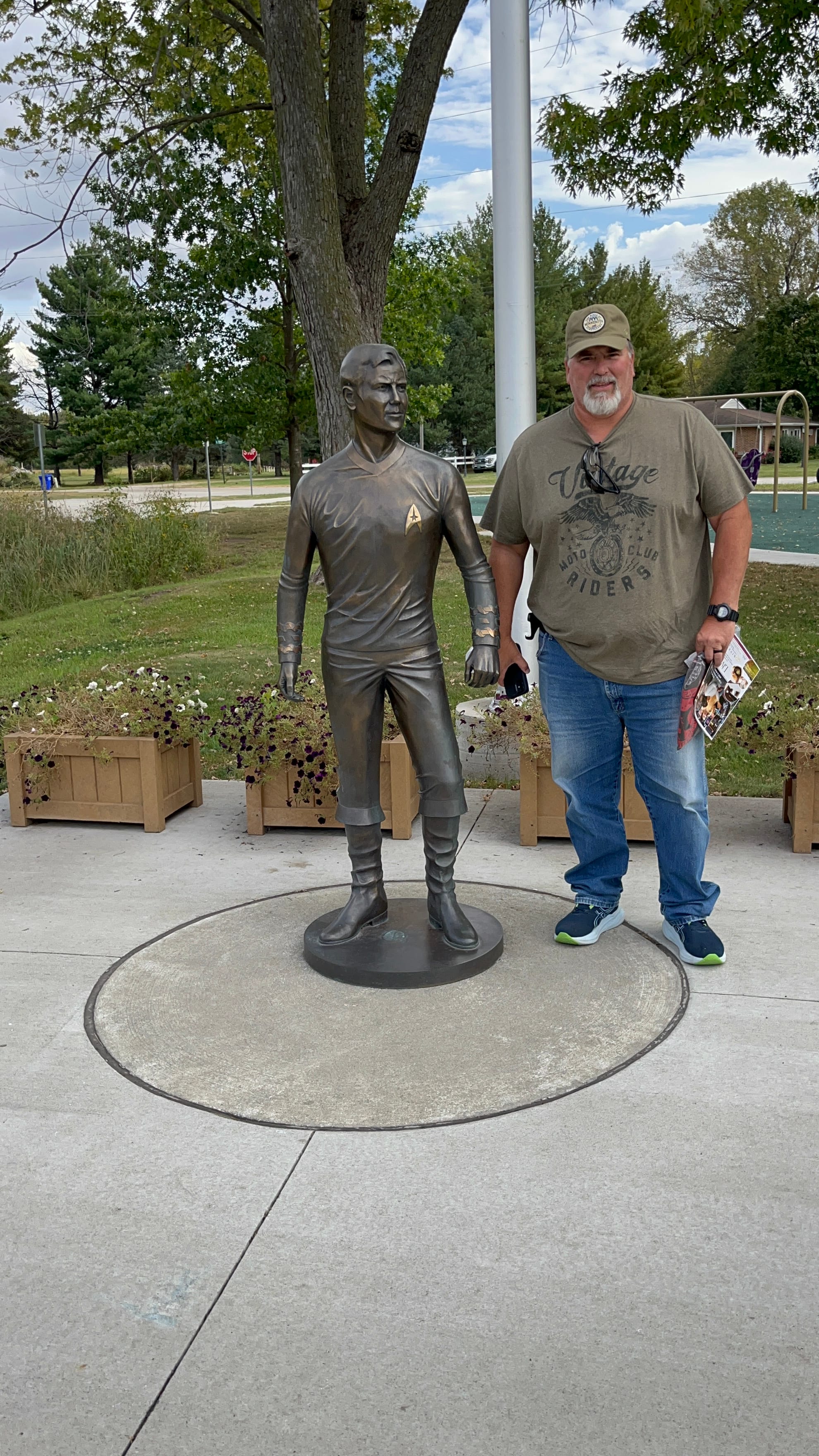
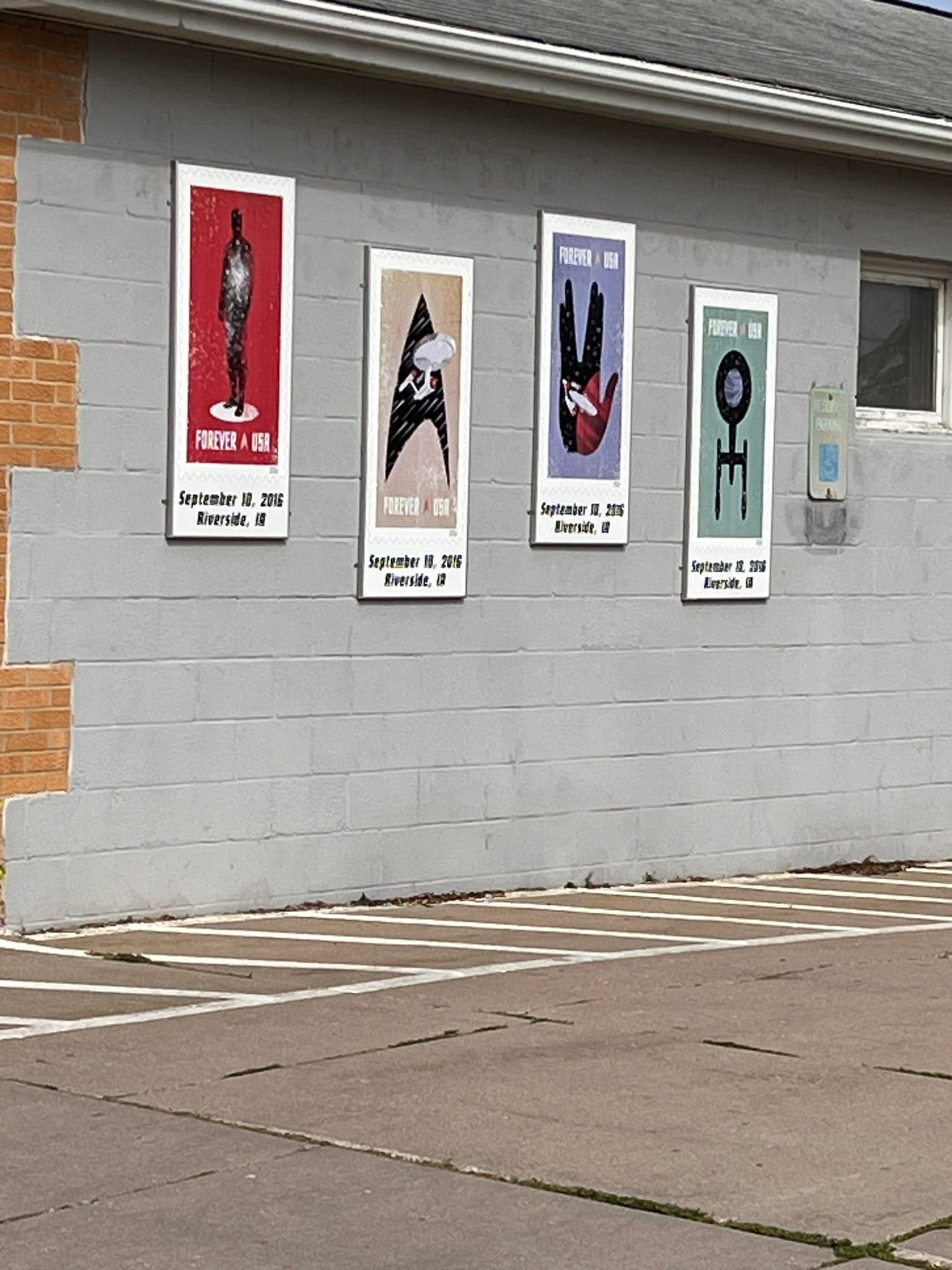
Driving into town, you first notice that all the power poles have photos of Star Trek characters especially from the original series. The park across from the museum has a Kirk statue and the local post office has murals of the Star Trek stamps. I wish they had been open that day so I could have bought some!
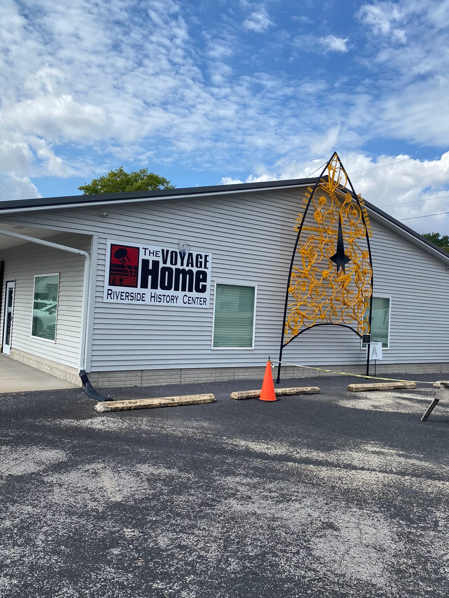
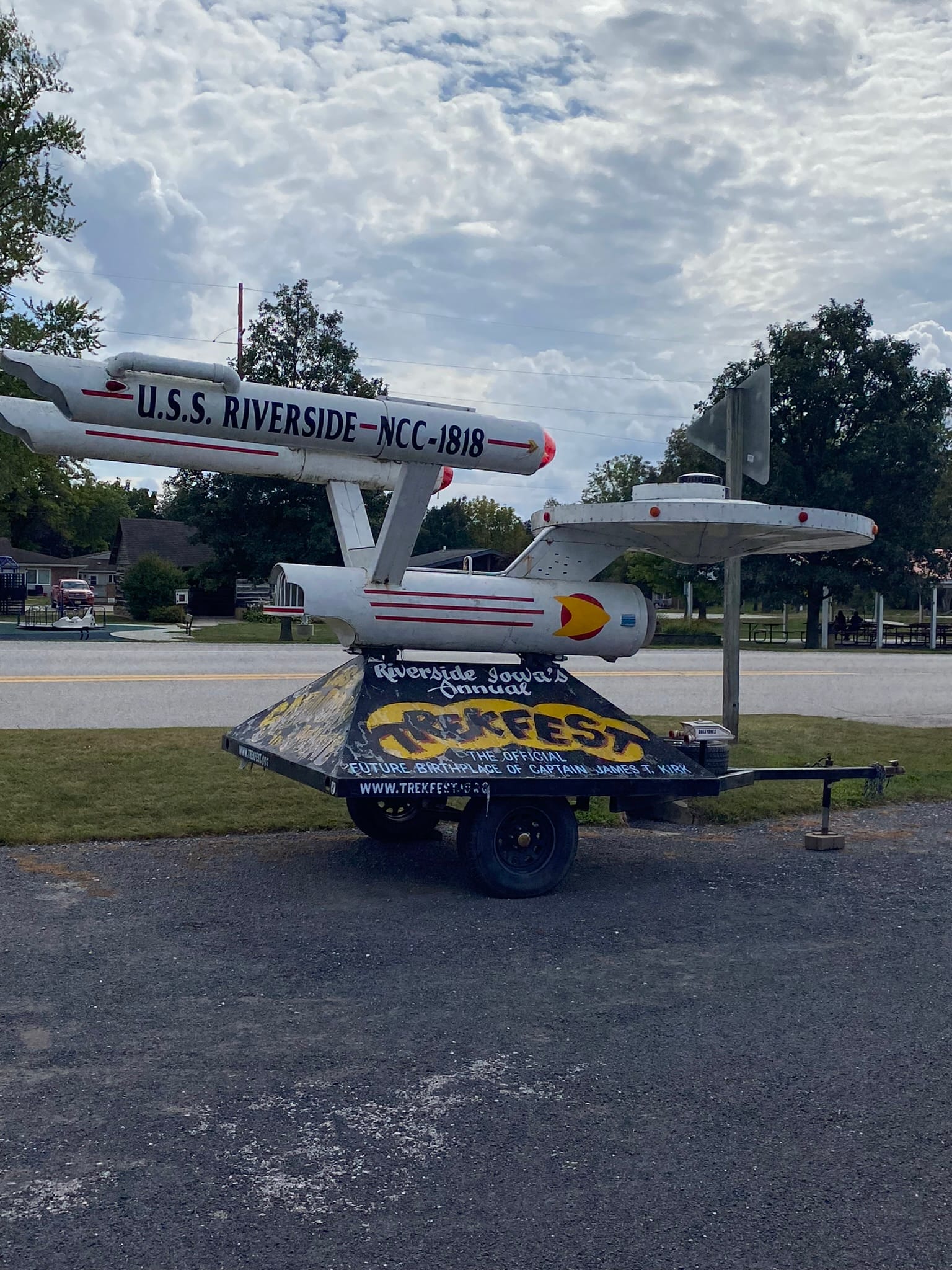
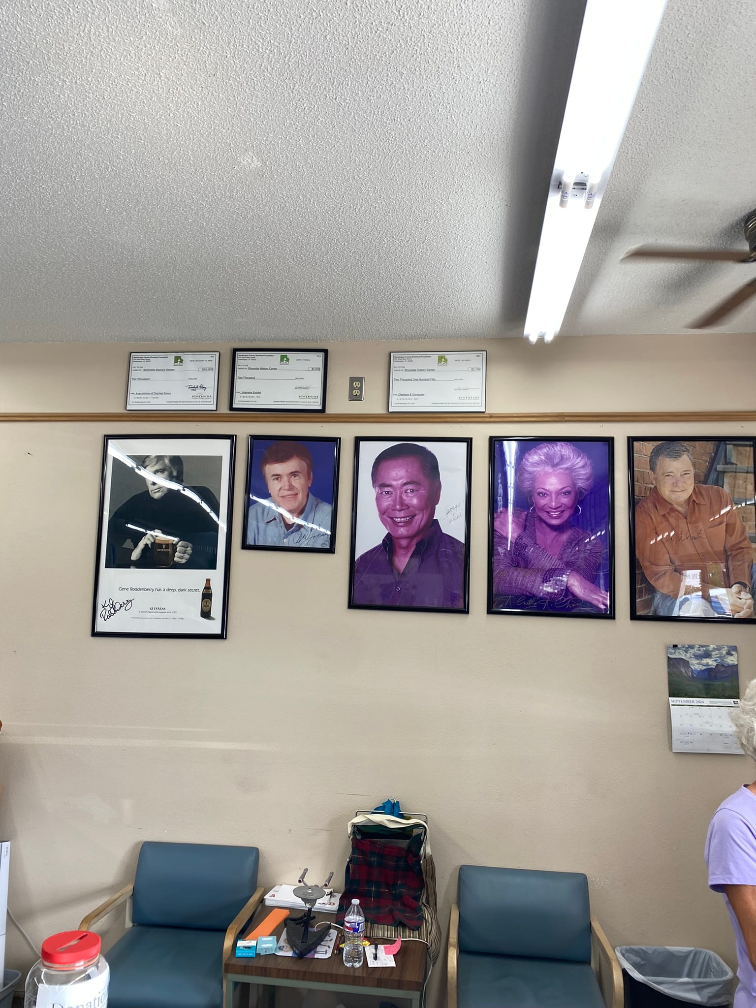
The museum was small but had a lot of movie stuff in it as well as autographed memorabilia from various stars from all the Star Trek shows. They had an Enterprise like model spaceship out front that appeared to be a parade piece and a miniature shuttle craft also. For someone like me whose childhood revolved around Star Trek and other Sci Fi stuff it was pretty fun to see! I got a T-shirt and pin for the road. By the way, the restroom is a must experience! I won't spoil it for you but I quite literally laughed out loud at the door and the mural inside. I love the quirky little towns and stops we find along the way!
Spook Caverns and Effigy Mounds National Monument
It worked fine this afternoon when we got to Spook Cave Campground in NE Iowa.
The drive along the Mississippi was extremely beautiful, with majestic bluffs overlooking the Mississippi River. We saw several Corps of Engineers Locks and spillways along the way and soon enough we reached Spook Cave Campground in NE Iowa. We had deliberately planned to stay in this area since Effigy Mounds National Monument was nearby.
Since we had arrived rather early we headed over to Effigy Mounds before they closed. I don’t know what I was expecting but a two mile round trip hike with the first half mile being switchbacks to the top of the bluff wasn’t it! Anyway, that’s what we did – a forced march up the bluff to see the mounds at the top. It wasn’t bad once you got to the top but that first section was a killer! The mounds weren’t really spectacular at this site. They were all mostly low mounds and the shapes were rather nondescript especially as viewed from ground level but it was still impressive to see. I know there are other mounds around the US that I’ll have to try to visit. Some of those are really high!
Spook Cave Campground was pretty sweet! It was set in a wooded valley of Iowa farmland snuggled up against a bluff in a roughly crescent shape. It had a waterfall just inside the park coming out of the wall of the bluff and they host a cave from which they get their name. They provide boat tours but not for the faint of heart as the head clearance is very low and they warn that “excessive bending” was required to get through the low areas. We passed on the boat tour. The opening of the cave is in a pond from which the water flows down a sluice for panning and runs an old waterwheel in a very old, historic rock building. They’ve done a great job of blending it all together! They also have basketball court and volleyball court and some nice looking restrooms and showers.
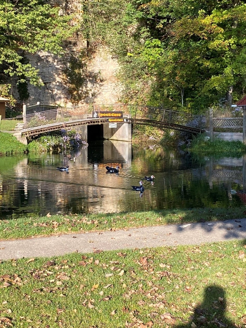
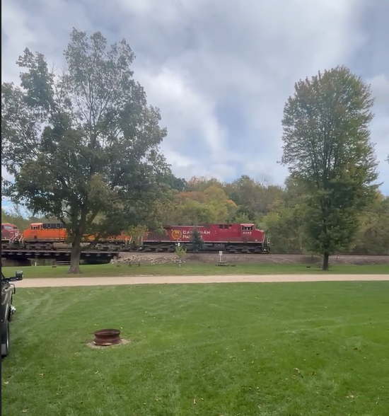
There was only one downside – on the other side of the campground ran a train track that was rather picturesque itself running across a bridge over the stream running through the campground. Luckily, unlike other train tracks we have recently camped near, this one wasn’t very active and we only heard 4 trains the whole time we were there but you can walk right up to the tracks and get amazing pictures of the train coming around the bend and appearing out of the trees! Very cool actually! Our grandsons loved the video I took of the train running right beside me.
Great River Route, Wisconsin
From Bayfield, we made our way down to Prescott, WI, where we picked up the Wisconsin Great River Road that winds its way down along the Mississippi river through a lot of very picturesque towns. Unfortunately, we couldn’t really stop in many of them as the road was narrow and there weren’t many places to pull off and park an RV. The road wound through farmland and along some bluffs adjacent to the river. The river is HUGE even up this far! The bluffs overlooking the banks were amazing to see also. Very picturesque!
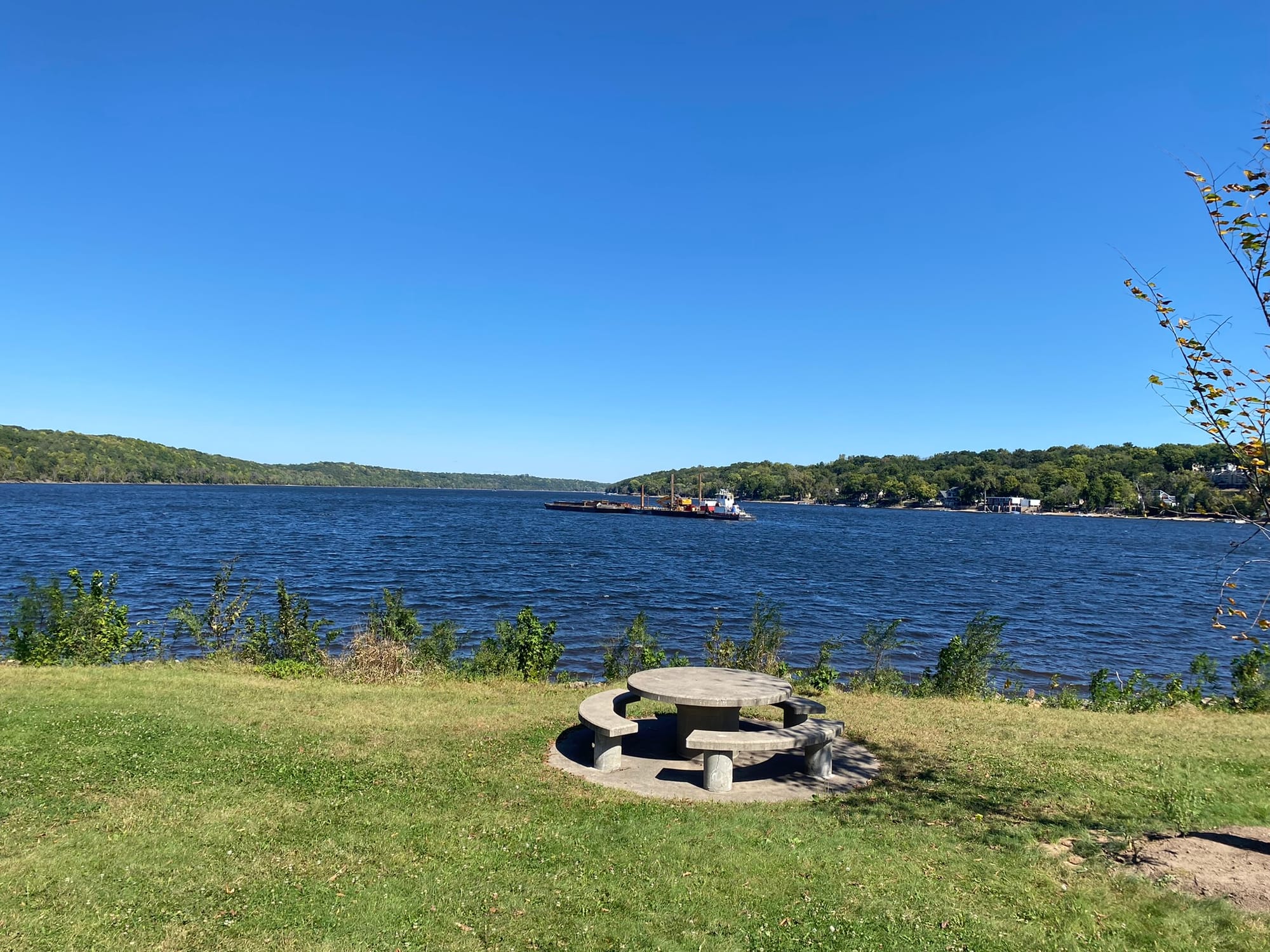
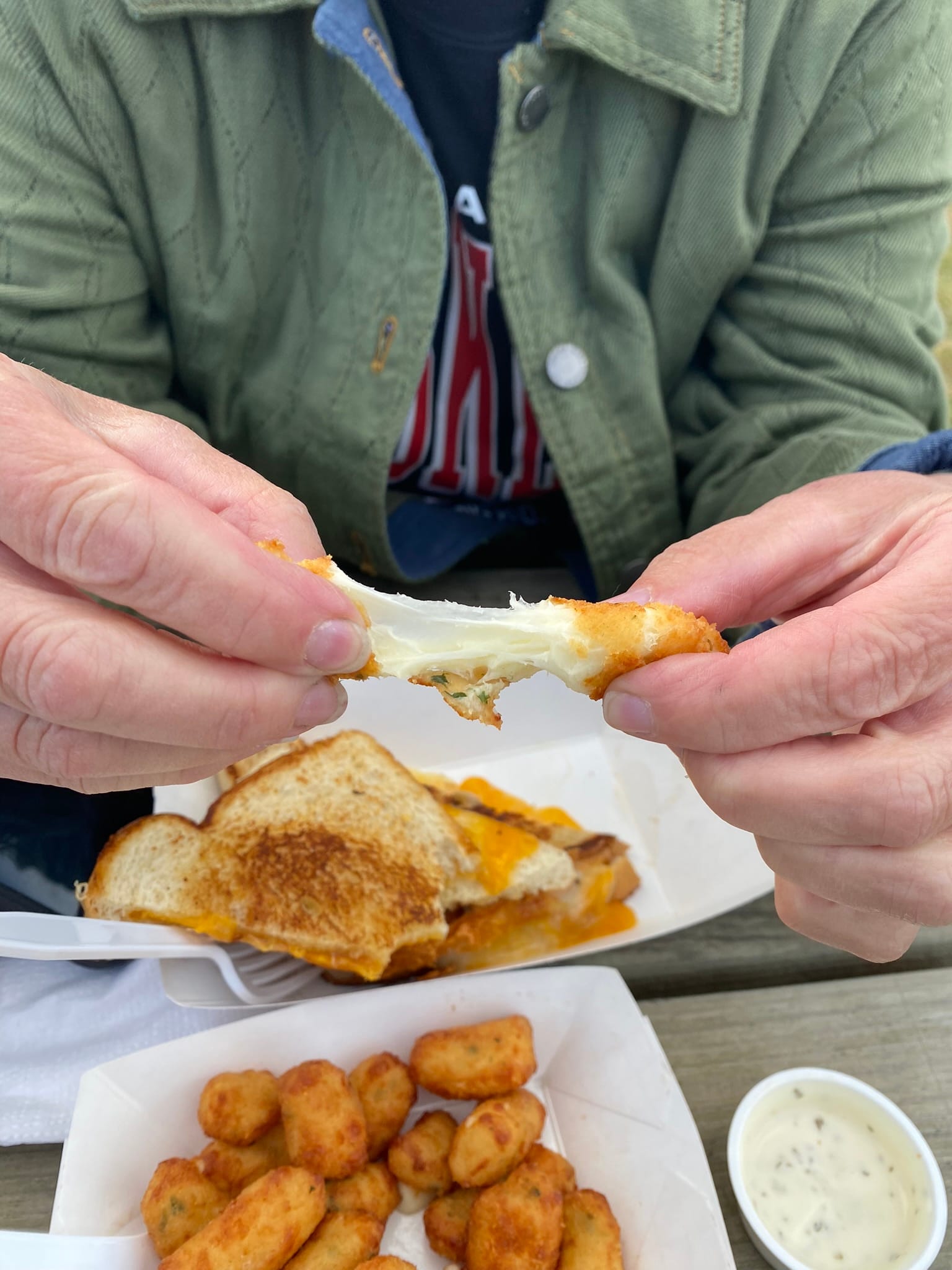
We got to Pla-Mor campground where we are spending the night and set up the RV. The campground is actually on the Minnesota side of the river. One of our fellow campers told us where to find food in the next two towns – La Crosse and La Crescent - one on each side of the river. Since he had mentioned an Apple Festival in La Crescent, we decided to go there and find the Festival. We were directed to the community grounds where it was being held. It was a nice little, small town fair with pony rides and jumping houses, various ice cream and popcorn vendors, Brats and most important – Cheese Curds having been scolded by our daughter for not already trying! The cheese curds were great (they’re just cheese sticks!) and the brat was amazing!
I was looking around for apples and they were surprisingly hard to find at the Apple Festival in the town called “the Apple Capital of Minnesota”. We did find a caramel apple but it was split up and covered in caramel and whipped cream but it counts! We met the hometown Apple Princess, not the queen but we were still honored! On the way out of town we did find a farmers market loaded with Apples so I guess the "Apple Capital" name fits.
We spent another day driving down the Great River Road on the Wisconsin side though the view on the Minnesota side is just as spectacular and the road is much wider but there is something special about traveling slowly through the old towns and seeing the sights along the way!
Lake Superior and Bayfield, Wisconsin
We reluctantly packed up and headed south out of Voyageurs National Park for our next destination along the shores of Lake Superior in Wisconsin. I had read about a couple of the “best things to see” in Wisconsin and one was the town of Bayfield up near the Apostle islands. We hit Duluth and dropped down towards the harbor and it was pretty spectacular to see all the shipping and terminals laid out before us. They are truly HUGE!
We rounded the corner of Lake Superior and drove northeast to Herbster city campground for two nights. The campsite sits right across the access road from the lake. It has pretty spectacular views of Lake Superior and from there you can watch the sunset over the lake! The campsite doesn’t have sewer hookups but it does have a dump station but the sites are relatively nice but not completely flat. It’s located on a gently sloping hill down towards the water and all the sites have an amazing view.
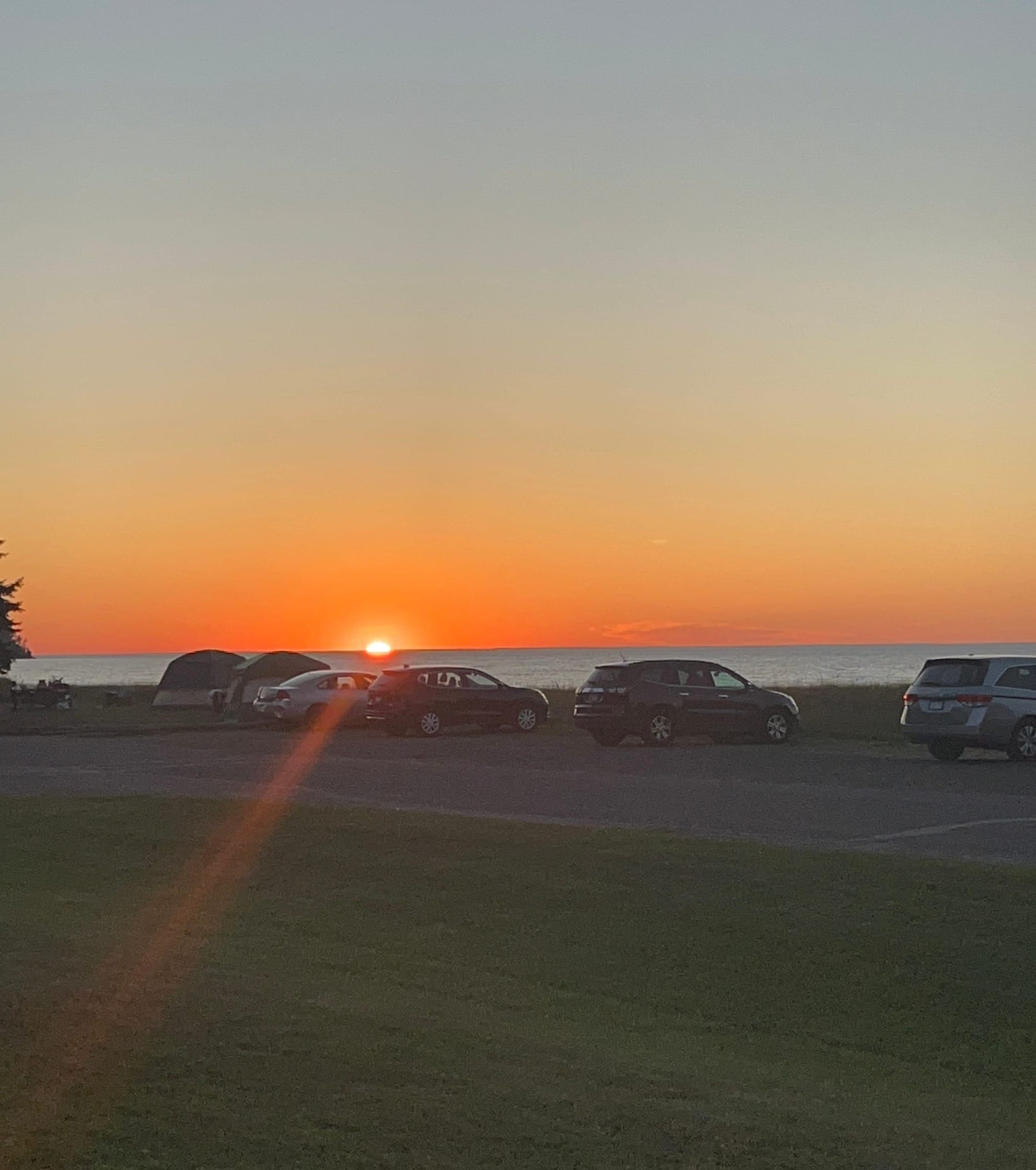
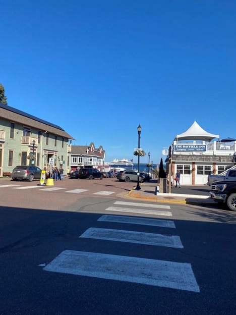
The next morning we headed out to see the sights in the area. We drove around the point on hwy 13 and stopped at two recreational areas along the Apostle Islands National Seashore to take some photos and look around. Both parks were very beautiful. You couldn’t see the Apostle Islands from the first one, but the second one has some in view. We continued east and curved around towards Bayfield which had been listed as one of the best places to visit in Wisconsin. The town is very picturesque with the Apostle Islands visible offshore and harbors filled with boats including some very large ships operating in the vicinity and a French cruise line from France that was on a Great Lakes tour.
We had been told about two places to eat in town by some folks we met on the beach last night and I spotted one of them called “Hoops Fish”. The restaurant is on it’s own pier. The only thing they serve is fresh White Fish caught from the lake. We had Fish and Chips basket for $15 each and a beer to wash it down. The fish was very good and for deep fried battered fish it wasn’t oily at all! While we were in town we visited the Bayfield Maritime Museum and checked out their exhibits about various wrecks on the lakes including the Edmund Fitzgerald! We also did some light shopping in the downtown area.
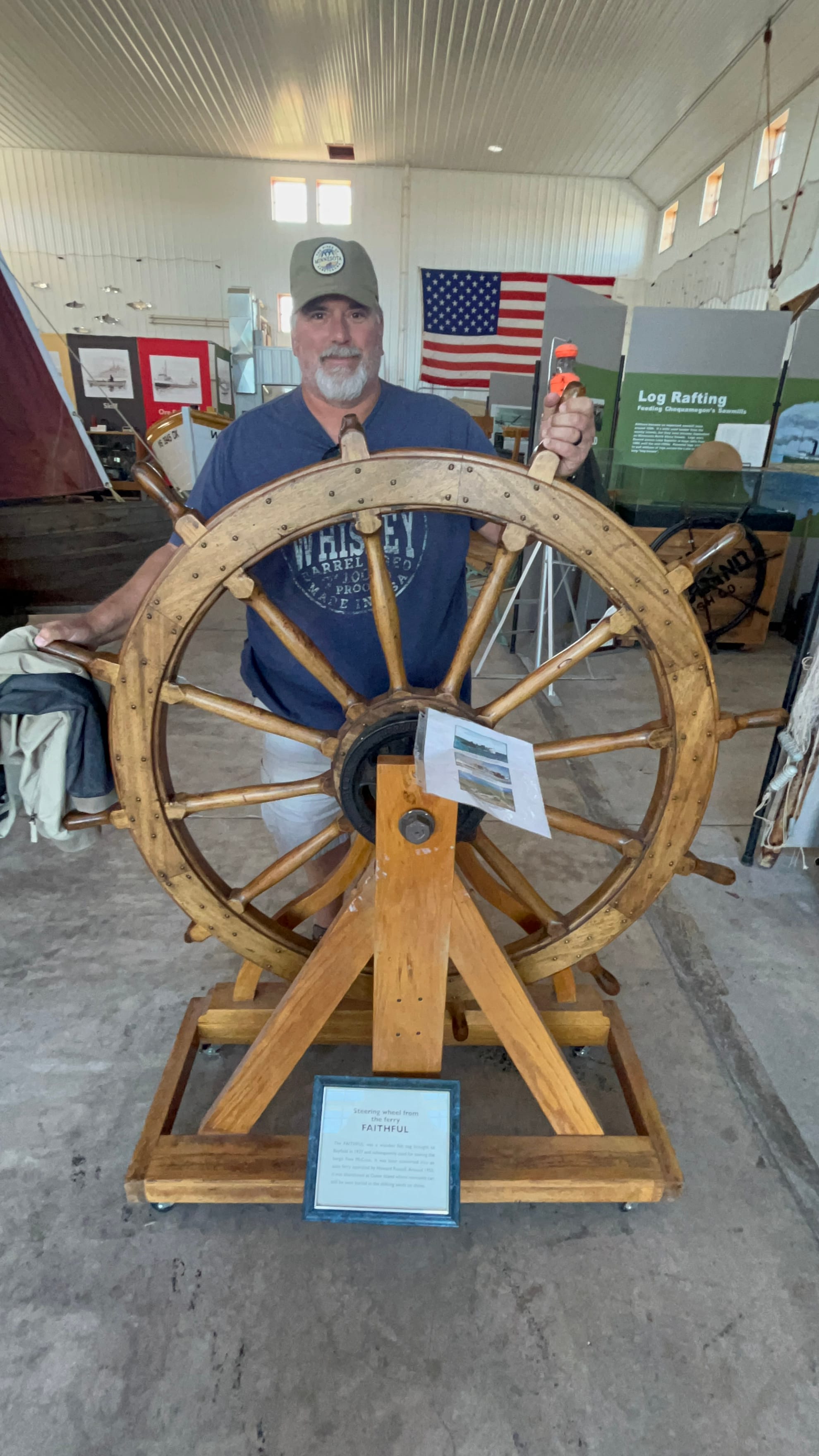
Voyageurs National Park, Minnesota
We packed up in the morning and got underway from Mille Lacs Lake on the final leg of our journey to Voyageurs National Park. It was a fairly long 4-hour drive through some very beautiful countryside. As we went north, we saw less and less farms and a change in the trees in some places. Certain areas looked like I’d imagine the Tundra would look with very scraggly pine trees. Other areas looked like what we had been seeing so far – a mix of pines and deciduous trees some of whose leaves were changing for the fall. Mostly yellows but some reds were starting to show.
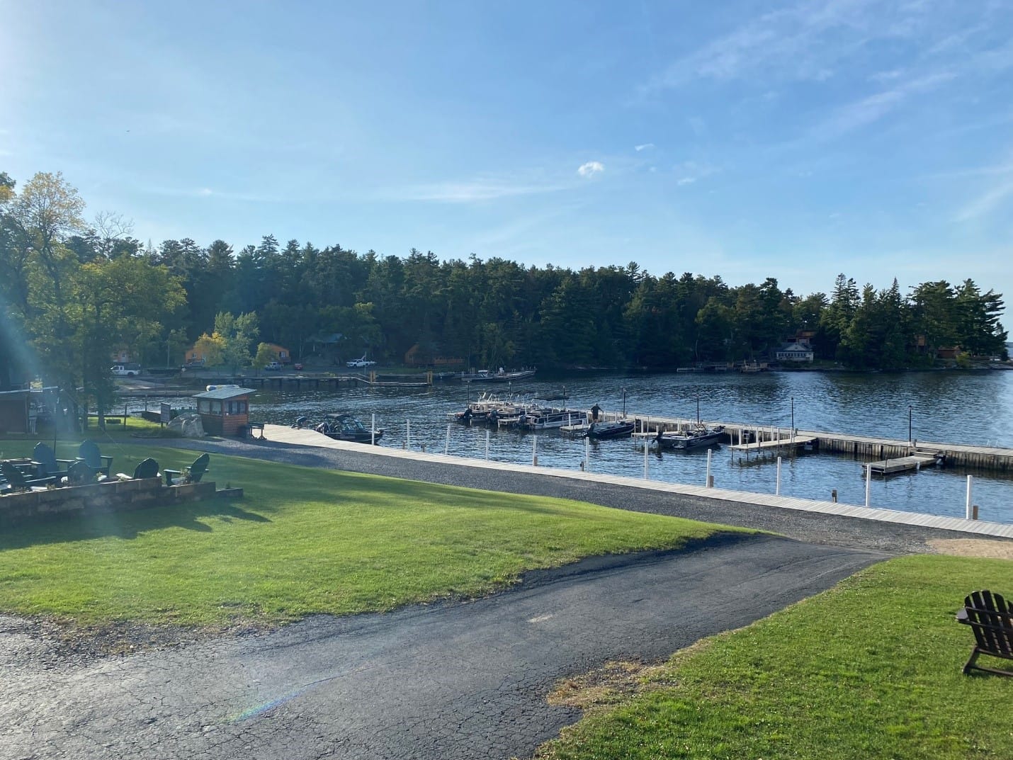
We finished our drive to Voyageurs and finally got to see some of the massive lakes and islands that make up this area. Voyageurs is made up of 4 large lakes and over 500 islands according to the locals. It was impressive! Our campsite was called The Pines of Kabetagama and was located on the southwest edge of Lake Kabetagama. They have boat rentals right on the campground, cabins and RV sites including some on the cliffs overlooking the lake. We were lucky enough to have been able to reserve a site up on the cliff with an amazing view of the lake! I can highly recommend that campground. The owners are amazing to work with and really helpful!
And now a rant about the beast in those parts that preys upon human flesh and from which everyone is running and hiding. You may think I am speaking of bears, or maybe the fabled Sasquatch, but they are tame compared to the wild, indigenous Minnesota Mosquito! I’m not kidding! These things aren’t so nice and polite as the Texas variety that show up 1 or 2 at a time and provide only a minor annoyance. These buggers attack like killer bees or red ants seemingly by the thousands. Our neighbor took one look at our attire last night (shorts and Tees) and said, "you are probably ok around here, but if you go near the woods you need long pants, long sleeve shirts, tons of DEET and a special hat with mosquito netting to have a chance of survival." Ok, I added the survival part, but the rest was nearly verbatim and as it turns out, he’s absolutely correct! Those little vermin attack in such swarms that you can’t even breath for fear of ingesting two or three with each breath!
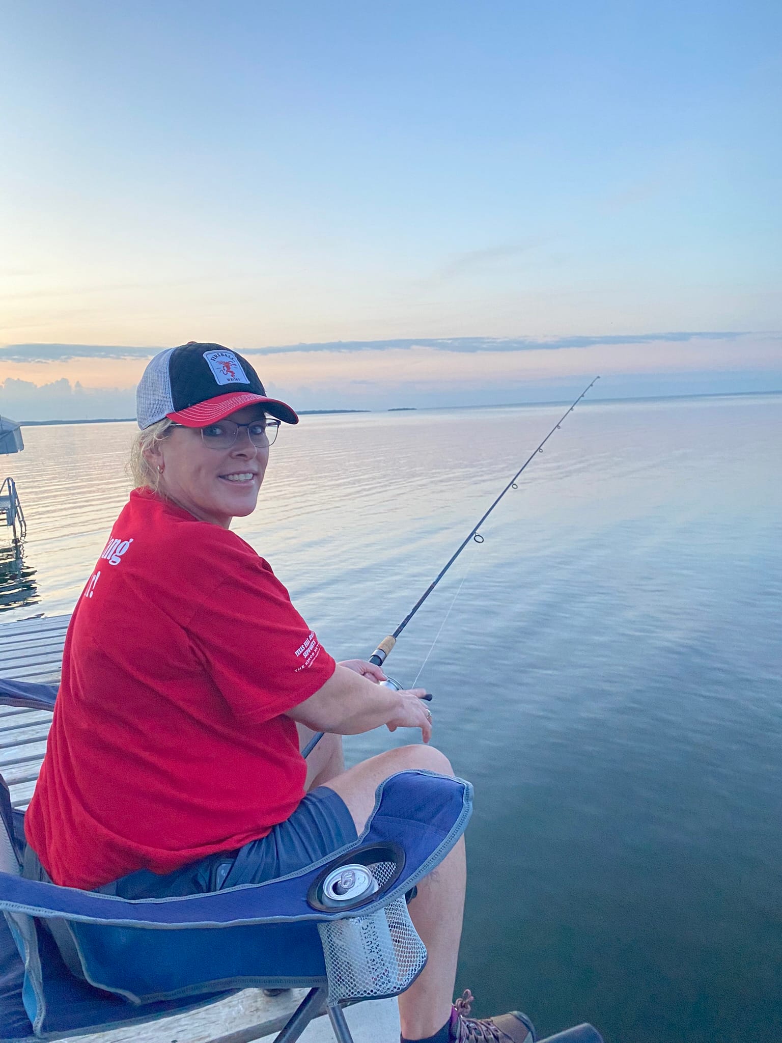
That first night, we could see lightning off in the distance and had been chased off the dock and kept from fishing by a storm nearby that didn’t actually hit us. At about 1 AM the line of thunderstorms we had been watching hit and they just trained right over us for well over an hour. It would rain thunderously and then die down and then the thunder would start again and so would the rain. I heard at least 4 cells come over us directly before the whole line moved enough east to begin missing us.
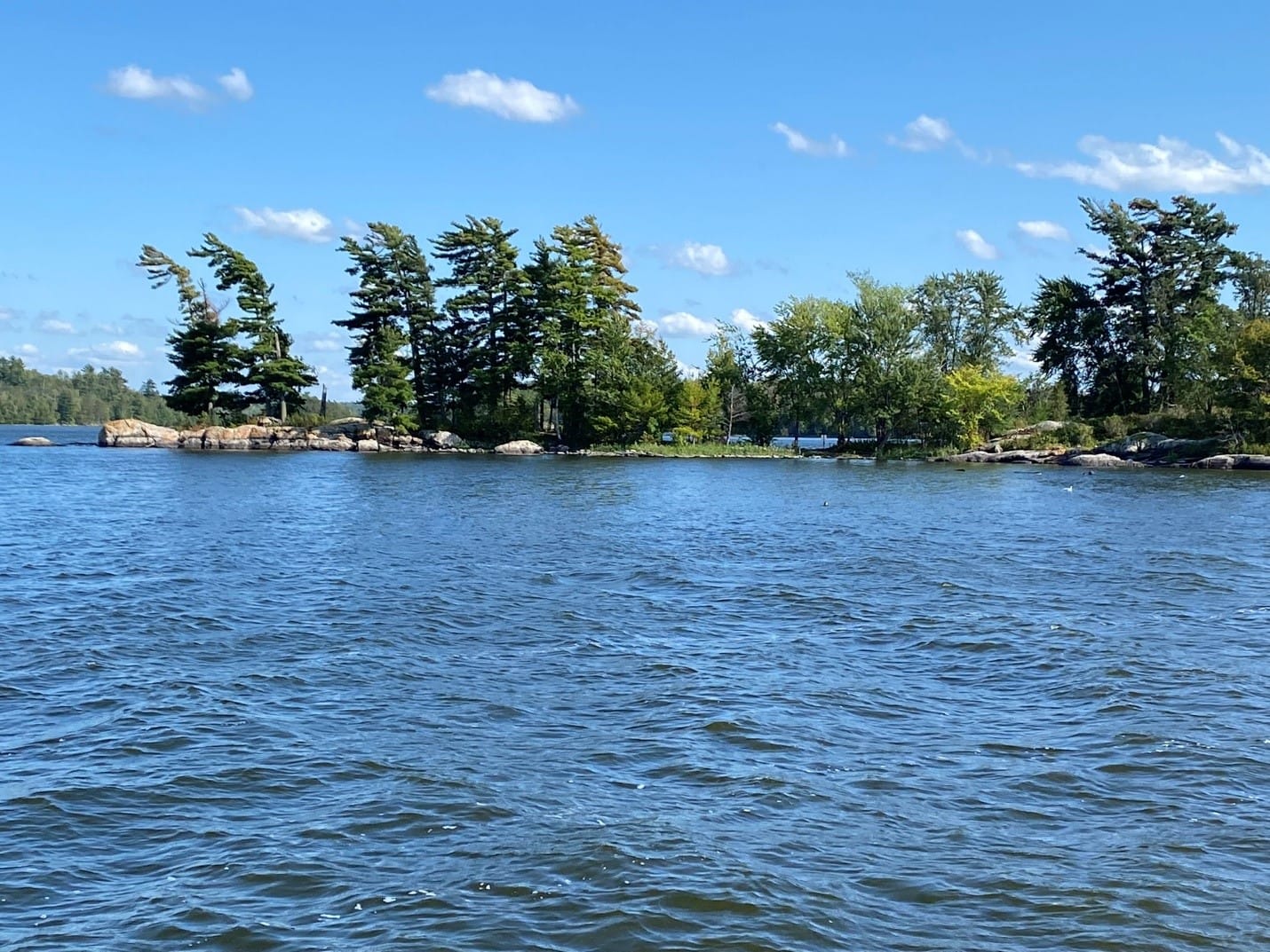
Our second morning, we grabbed our fishing gear and headed out to the docks to try our hand again at catching the elusive Walleye and again, we were skunked without even a nibble. At about this point, we realized that we weren't going to really "visit" Voyageurs without a boat so we checked out a small pontoon boat and headed out with our fishing gear to explore the area and see if we could hook something more than ourselves.
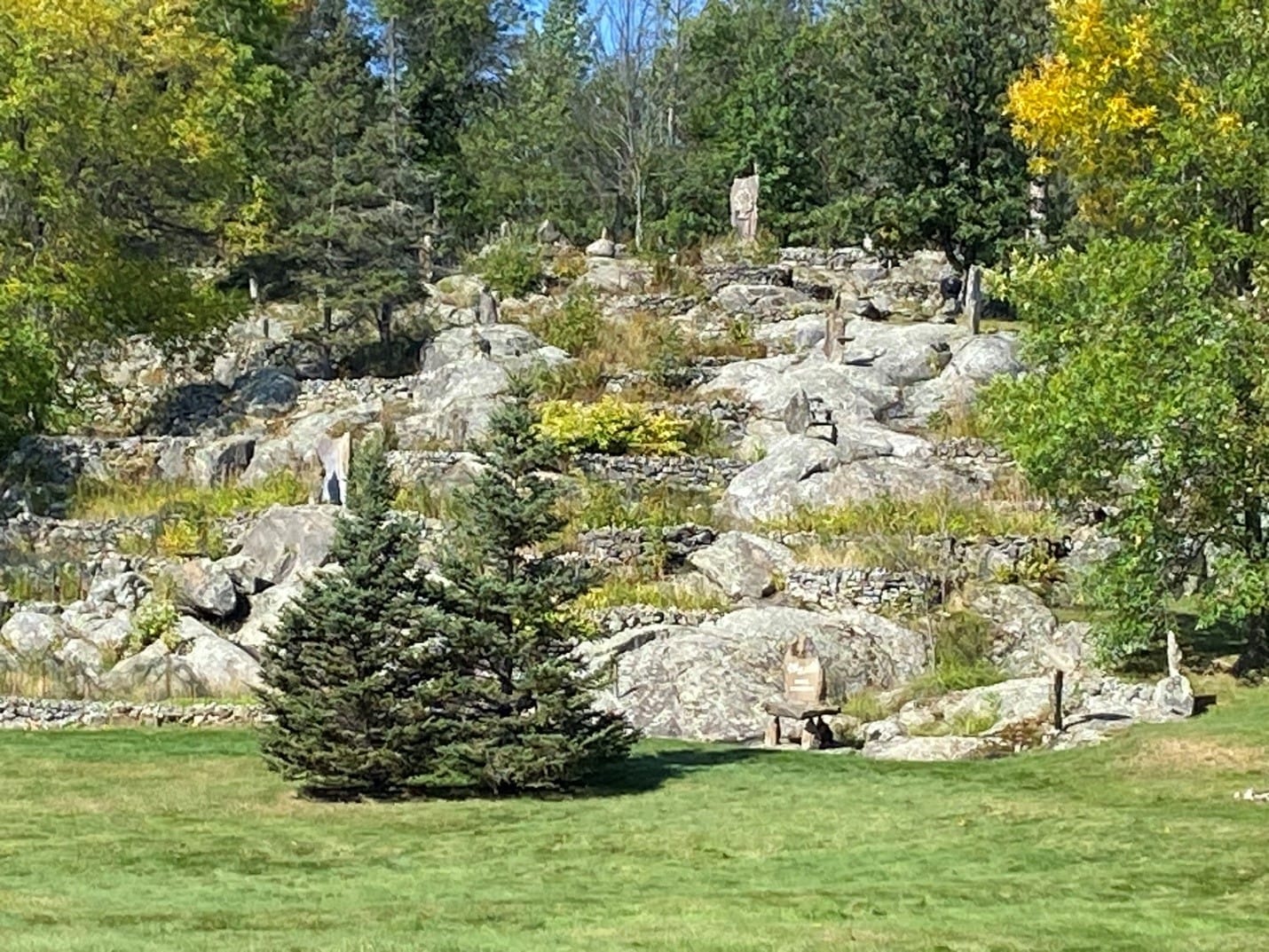
One sight we visited that was fairly close was called Stone Garden and it was someone's rock sculptures on the far shore of the lake that covered a hillside. We headed over there for a look and decided not to climb up the whole thing but walked around down at the bottom for a good look and headed back out to fish.
As the day wore on the winds picked up and we headed back to the campground to check the boat back in and spent another rough night due to another line of thunderstorms.
Mille Lacs Lake, Minnesota
The next leg of our journey took us to Mille Lacs lake and our intended campsite at Rocky Reef Resort on the southern coast of the lake. Upon arrival, we realized that this lake is immense some 22 miles x 12 miles across. You can’t even see across it at the widest since 12 miles or so is the naval horizon. We also realized that while the campsite is nice enough it’s not what I would call a resort. There are somewhere between 20 and 25 sites with a large number of those rented out annually to people who keep their campers here all year around but only come up during the summer and they’ve already gone back home for the winter. There aren’t many amenities, but the view is pretty spectacular. Minnesota is pretty flat overall and we saw little else but farms on our drive up. Nothing wrong with any of that, it’s just a description. I really enjoyed the drive actually, though I preferred the mountains of Colorado to the many lakes of Minnesota. Definitely, a fisherman’s paradise!
It turns out that the campsite didn’t have our reservations but had room for us and the owner/operator, Patty, is very nice once you get to know her. Another lesson learned - always double check reservations! We settled into our site and went to the restaurant/office for some dinner. The food was great! I had a Philly Cheese Steak that was more of a Philly Cheesesteak burger but it was tasty. She shared some of their home-grown HUGE tomatoes with us on the burgers! Speaking of which, we took the opportunity to buy some fishing poles and lures that the local fish are supposed to like and gave fishing a go.
Darwin, Minnesota
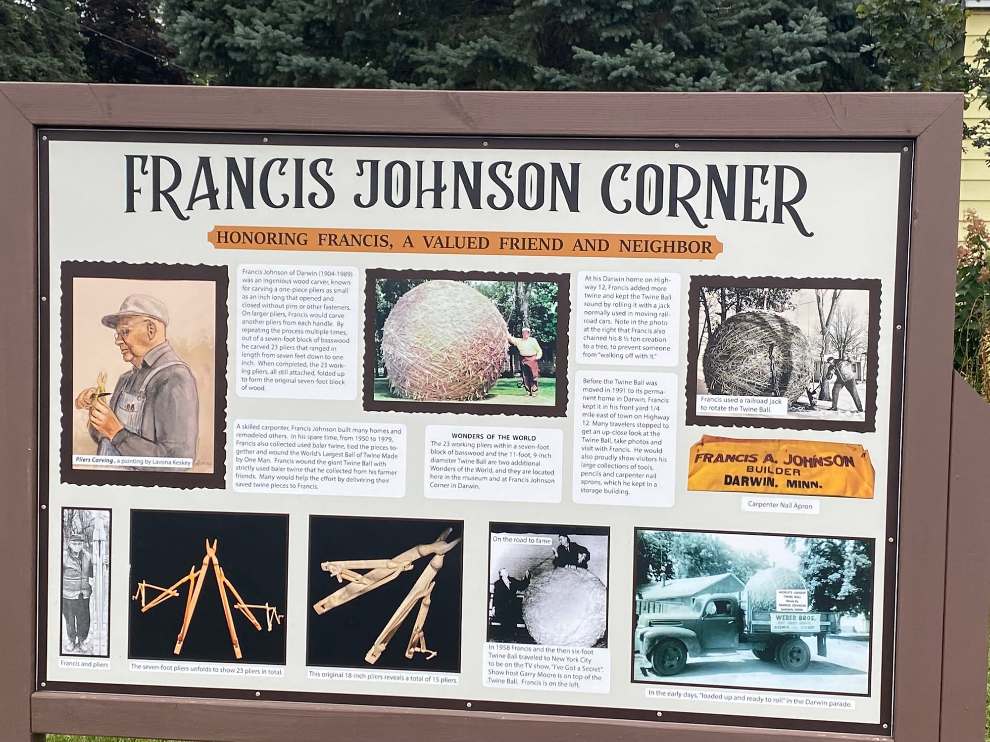
We continued our journey towards Voyageurs National Park after a light breakfast and a quick pack up. We drove north on hwy 71 into Minnesota to merge onto I-90 east. We then turned off onto MN Hwy 15 through Truman, Lewisville, Madelia, Linden and into New Ulm. We continued north and turned onto CSAH-14 or Tagus Ave which is a winding country road that leads into Darwin, Mn, home of the World’s Largest Ball of Twine made by one man! Yes, there’s a caveat but we diverted into Darwin to see it just to be silly.
Lake Okoboji, Iowa
Before we could leave Omaha for Lake Okoboji, our next stop, we had to find a place to dump our gray and black tanks. We’d been living on them for nearly two weeks and they were getting pretty ripe! We thought the tanks were too full to drive around much due to the weight, so we purchased a dump tank from Walmart and took a load of $%^& to a campground in Papillion, our old stomping grounds, to dump.
I can’t believe how that area has changed but it has been 24 years since we last lived here. The road we used to live off, Lincoln, now goes all the way through and is 3 lanes most of the way. There are several new neighborhoods along the road beyond where we lived that used to be farm fields. The entire flats along the bottom between the creek and Lincoln is now all built up with incredible new gym and athletic facilities. They’ve also really bought into the whole “round about” concept in the new areas!
Anyway, we headed back down that way to dump and rinse the tanks before hitting the road. We accomplished that task and by “we” I mean “me”. We then backtracked to Hwy 370 and followed it into Bellevue to see the growth there and then jumped on 75 north and across the bridge on I-80 to catch I-29 north.
I deliberately decided to exit off I-29 at the earliest convenience and after fighting with Apple’s maps that kept changing me to interstate all the way up to north Iowa, I shut it down and pulled up RoadTrippers to guide me because that software doesn’t think it’s smarter than me. I’m not concerned about saving 15 minutes, I want to take the scenic path! It's a "thing" for me!
Our course took us through a lot of scenic small Iowa towns including Turin, Castana, Mapleton, Danbury, Battle Creek, Holstein, Storm Lake, Sioux Rapids, Spencer and Milford. It was a nice drive and the roads were for the most part smooth but there were some sections that were rough. Spencer was a very nice little town with flags flying, a section of divided road in town called Grand Ave that had all the state flags flying and things like that. Sweet looking little town!
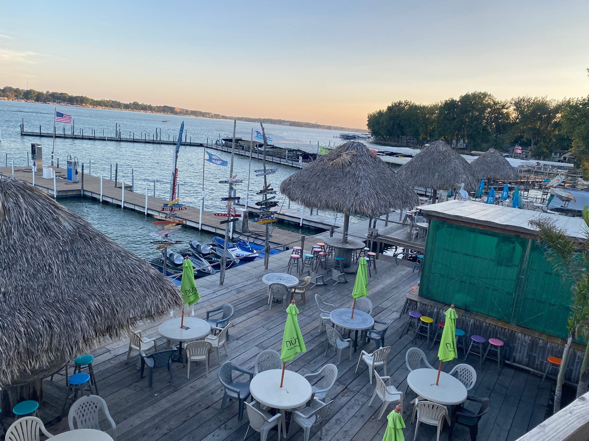
We continued our journey after a pit stop for gas and a break and finally pulled into Lake Okoboji and found our campsite on the far side. We are camping at Cenla Campground in Spirit Lake, IA. We settled in quickly and headed out to a local Tiki Bar called Barefoot Bar for a drink. The bar is very different. We drove over and there was no parking around it which puzzled us since the bar was very well reviewed. Once we walked around to the lake side of the bar we realized that there was a large marina attached and almost all customers were boat-up not drive-up. Later in the evening we went further into town along the Promenade to enjoy the sunset over the lake with a drink at Pirate Jack’s Bar. This is definitely a seasonal tourist town, and things are winding down for the winter.
Omaha, NE and Tire Issues
Anyway, as we approached Kim’s Mom’s house, we noticed the tire pressure in the back left wheel of the RV was dropping significantly and every time we looked at it, it had dropped a PSI or two. I'm thankful for the Tire Linc system that Grand Design installed that allowed me to keep an eye on the pressures while we were on the road. If you don't have one, I highly suggest you buy one. Had I not noticed that the tire was getting low and continued driving, we would certainly have had a tire disintegrate and probably damage our rig.
We decided to get the RV parked in her mom's driveway as fast as possible and then would take the tire in for repair. The length of our rig, the lack of length of her driveway, a narrow street AND driveway, some trees on each side of driveway entrance, some mailboxes and a retaining wall made it particularly difficult to get the rig parked where we wanted it. After what felt like a very long time while I am sure the neighbors were making rude comments about my diving ability, I finally got it close enough to what we wanted so we could disconnect and set up shop in Mom’s driveway.
The next day, I popped the tire off to discover that, not only was it going flat, but it was nearly completely bald on the inside edge. We decided that between that flat and the nail that messed up our tread on another tire a few days earlier, that was questionably repaired, we should replace them all. So much for the maintenance line in our budget!
Denver, Co
After visiting Mesa Verde, we wrapped up our visit to Durango and drove east across Colorado towards our next campsite in Howard, Colorado. The drive over the Wolfe Creek Pass and through Pagossa Springs was amazing and then the drive from Solida to Howard was along cliffs on the right and a rushing river on the left. it was a beautiful, scenic drive into town. The campsite was along the river and we were lucky enough to get a back-in site along the river so our windows and door opened onto the river. Just sitting there watching the water pass by was Heavenly!
After 2 nights in Howard we headed into Aurora to stay at the Chatfield State Park. As it turns out, that month was Military Appreciation month and as a military retiree, our entrance fee was waived. That kept the cost down and the park was very beautiful. It has a large lake in the middle with a marina full of boats that looked too big for the lake at least from a distance. There were trees in the water which made it look like the lake level was high but the area around the edges looked like the lake level was low so I’m not sure which is true. The campsite was all the way around the lake on the far side from the entrance.
We visited with family and friends who live in the area and after 2 nights headed up to visit more family in Loveland south of Fort Collins, Colorado and from there to Kim's Mom's house in Omaha for a couple of weeks stay.
Mesa Verde National Park, CO
We visited Mesa Verde where I hoped to get a reasonably close look at the cliff dwellings that the park is so famous for. It was only about an hour’s drive to the park and as we headed back in, it began to rain lightly. You had to wind your way back up on top of the mesas and 20 miles back into the park to get to the two loops that allow you to either look across the canyon at the Cliff Palace or to park above it and climb down to an observation station where you can get amazing views of the dwellings. It was pretty amazing to see how big and remote it was!
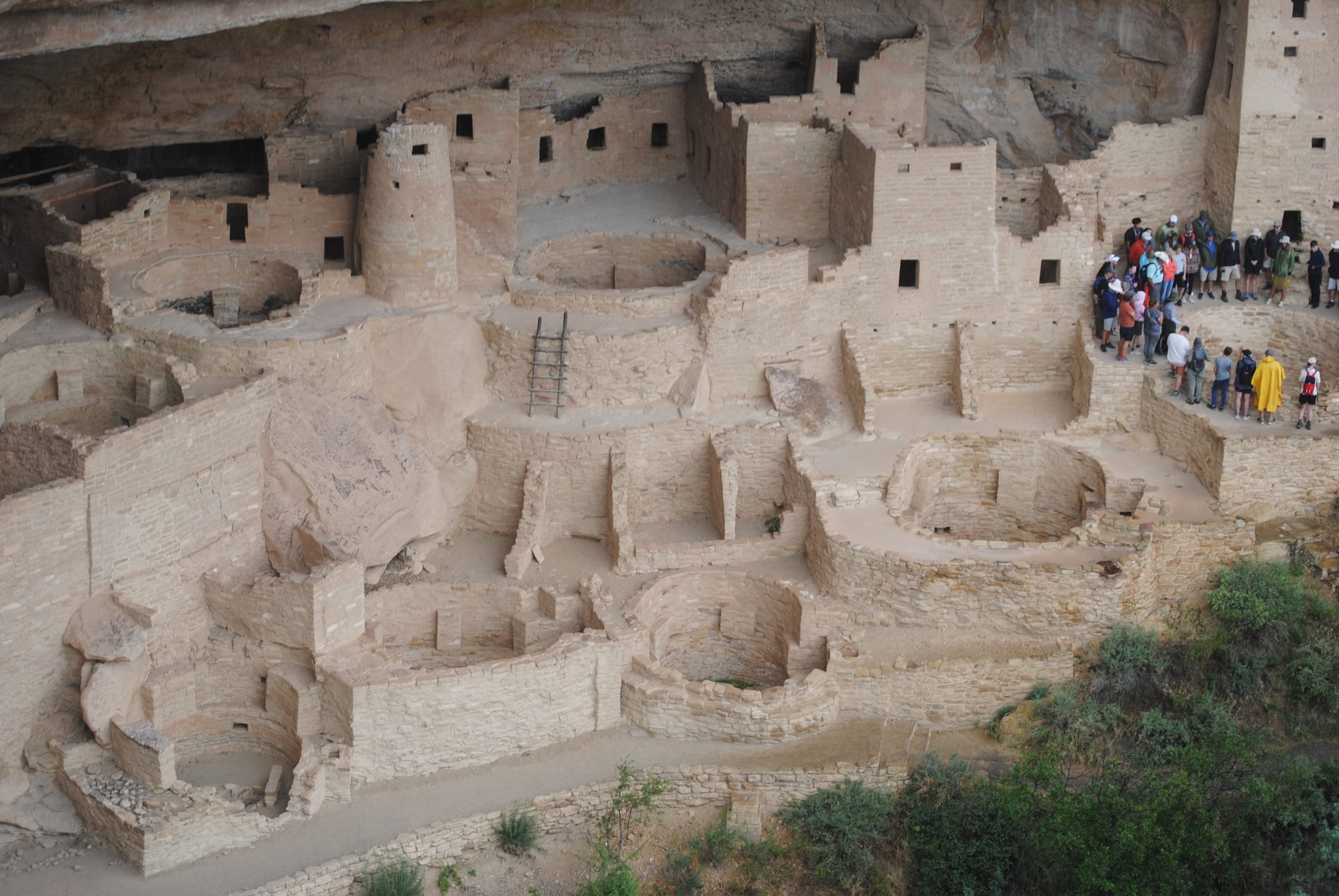
There are a lot of early pit homes around the mesa to check out as well but nothing quite so spectacular as the cliff dwellings. There are several other, smaller cliff dwellings there also, but they don’t get the same great press as the Palace.
Durango, Silverton, and Ouray, Colorado!
We stayed at the Durango Ranch RV Resort just south of Durango. The view was pretty amazing even though we weren't really into the high mountains. We set out to drive the so called Million Dollar Road that runs from Durango through Silverton and on to Ouray.
We drove down into Durango on Hwy 550 and followed signs for Historic Downtown Durango. It’s a very cute area with lots of shops and dining as you’d expect for a high tourist town. Kim and I didn’t stop anywhere as having too much stuff already is our problem! We picked Hwy 550 up on the other side of town and headed up into the mountains towards Silverton.
The drive to Silverton started out fairly plain. The mountains were initially like those in Durango, not very majestic and more of the foothills of the Rockies. The road climbed for a while rather slowly and the mountains started getting more majestic but weren’t as impressive as I had expected. We passed over a couple of > 10K passes and started descending into Silverton on some more switchbacks. We again followed signs into the center of town to see the historic portions.
Silverton felt like an old mining town and some of the buildings were clearly very old. There were only two “main” streets running down the length of the town and those were filled with shops and restaurants as you’d expect. It was a beautiful setting down in a valley between the mountains. We found a place to park and since it was approaching 1:30 or so we found a BBQ place called “Thee Pitts Again”. I had the chopped sandwich with cornbread and Kim had a pork sandwich with cornbread and potato salad. We sat outside to take in the cooler air and sights of the town.
While we ate, there were a huge number of Jeeps and motorcycles running up and down the main street we were on. Riding mountain trails is a huge recreation activity in this area. We saw many trails branching off the highway as we drove around.
After about an hour in Silverton we decided we might as well head the rest of the way to Ouray and boy, am I glad we did! It was a fairly long drive to Silverton and we thought we had seen “all there was” really in terms of mountains but we were SOOO wrong. The drive to Ouray got better and better with every mile we went and with every turn in the road! The mountains got taller and rockier with sheer drops all around us. There were waterfalls seeming to come from the sides of mountains and cut their way down into deep slit like canyons on the side of the road.
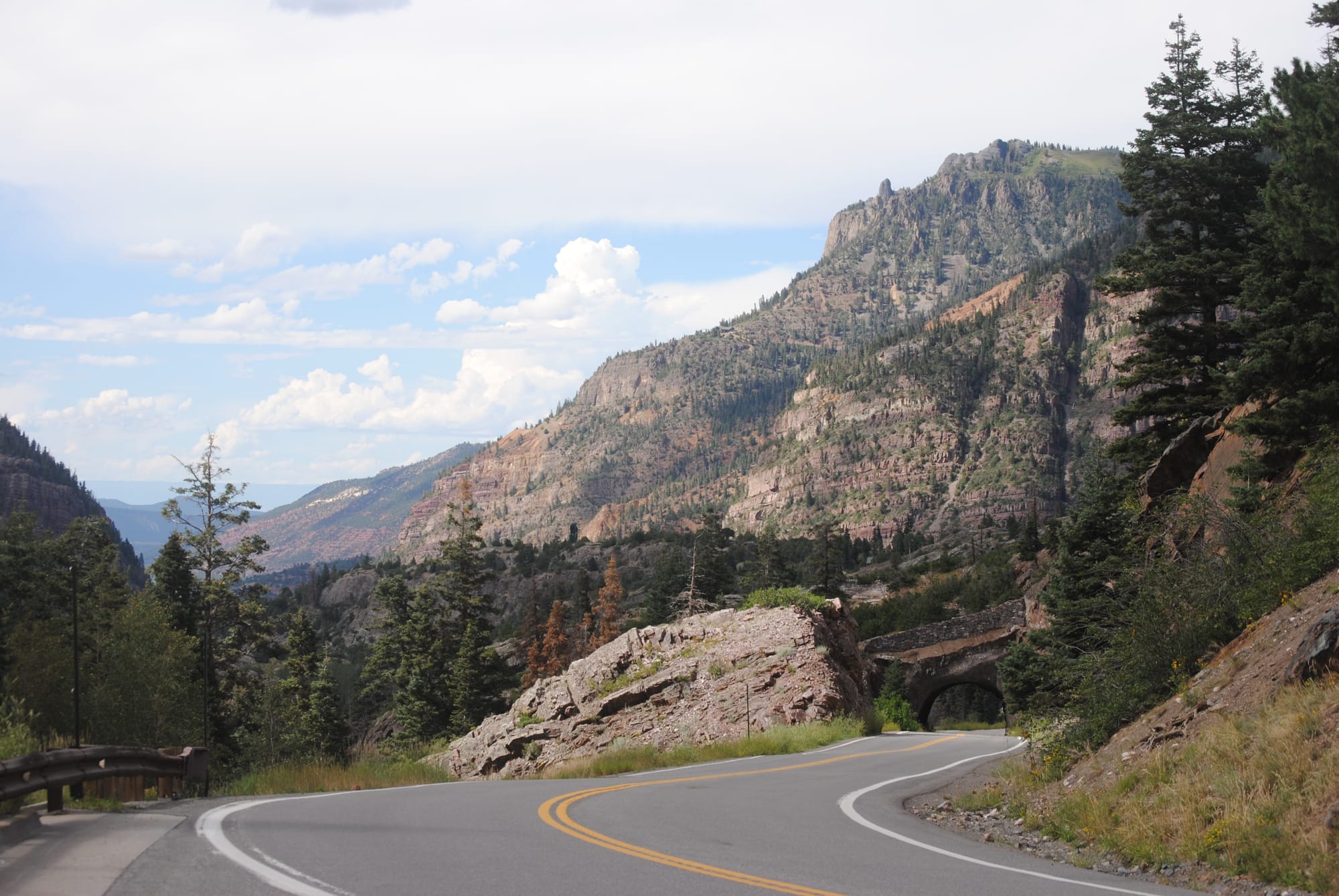
There was evidence of mining in many places and steep drop-offs on the side of the road almost never protected by guardrails! I have to admit that I was white-knuckling it a bit at times when we were on the side with the sheer drop. This drive is not for the faint of heart or anyone with issues about heights! By far the most rugged and beautiful drive I have ever seen! We were frantically trying to capture every vista on film but I know film will not do it justice! It was the most beautiful place I’ve ever been geologically speaking. The little town was kind of old and a bit drab in places but the scenery around it was mind-blowing!
Aztec Ruins National Monument
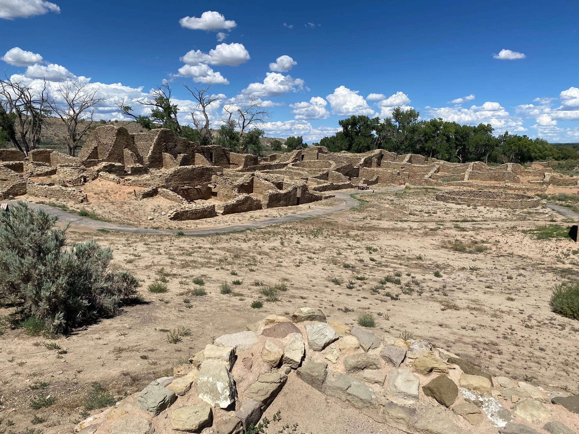
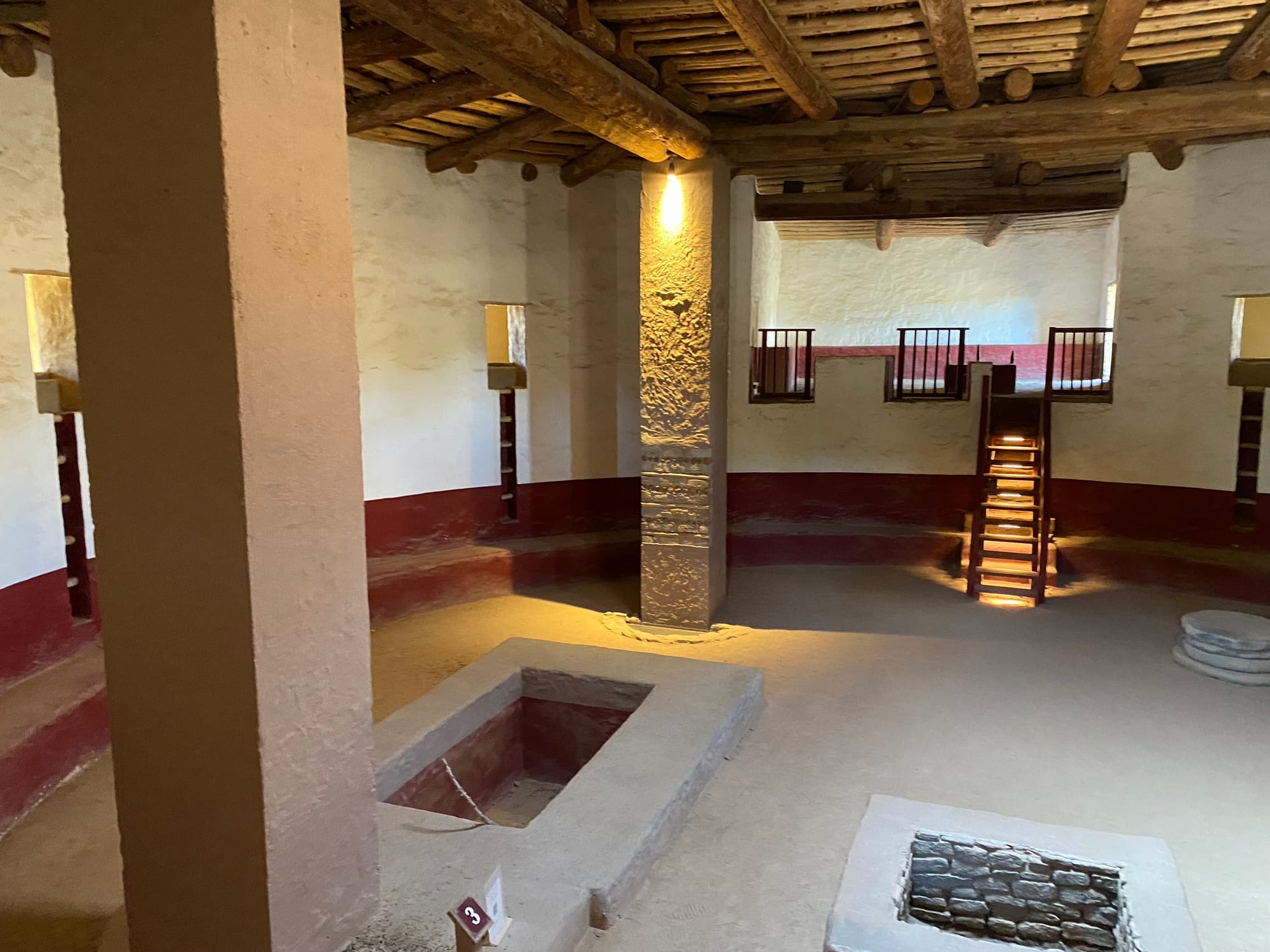
Our next destination was Aztec Ruins National Monument which has nothing to do with Aztecs but was apparently named by Spanish Conquistadors by mistake. The ruins are in fairly good shape for their age with lots of rooms to see and a nice paved trail. Entrance is free but it is not pet friendly. Kim wasn’t interested in it, so I went through alone. They had several Kivas with one large one that’s been completely resurrected that the tour path takes you through. There is a brochure for $3 or a free QR code that takes you to a website with a guided audio tour. It was pretty cool to see how some of our American ancestors lived.
Albuquerque, NM
We headed on from Fort Sumner towards Albuquerque on Hwy 84 which runs northwest. I had thought the road from Midland, Texas to Roswell, New Mexico, was the most boring drive on the planet when we drove to Ruidoso. Hwy 84 from Lubbock up to Fort Sumner through Clovis, New Mexico, and Cannon Air Force Base was by far the most boring drive I’ve ever seen. It was lacking the glorious vistas of oil pumps the trip to Ruidoso had. (Sarcasm intended.) However, not long after leaving Fort Sumner we started seeing a lot more interesting geography and scrub brush changed to more green brush. The beautiful Sandia mountains started coming into view about the time we turned onto I 40 W.
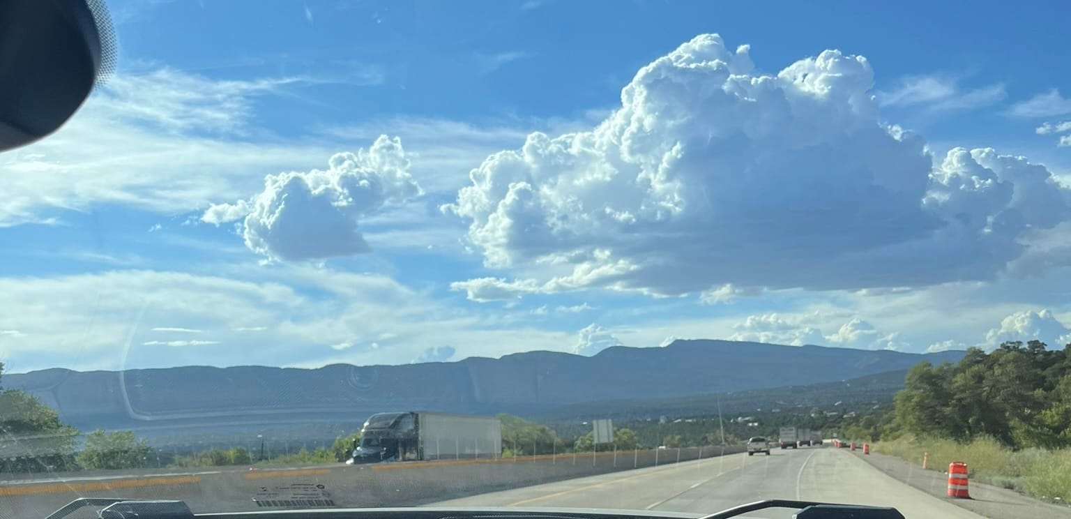
The drive from where 84 hits I 40 down into Albuquerque is probably one of the most scenic drives I’ve made so far in my life. I know I’ve driven that stretch of road probably three times now, but I didn’t remember any of the sights. The mountains were absolutely gorgeous. We went through Albuquerque and out the other side where we’re camping at Route 66 RV Resort and Casino which is right on the old Route 66. On the way here, we saw a lot of signs off of I 40 for Route 66 and I’m chomping at the bit to go see some of them, but Kim won’t let me! There’s a long story there and it had to do with some very rough roads a few years back that basically broke our motorhome. Somehow, I’m still going to get out and check out some of this stuff. There are spots in Albuquerque were two different routes that were called Route 66 at one point in history come down into Albuquerque along I 25 basically and along I 40 and they meet in downtown Albuquerque and it’s supposed to be pretty terrific.
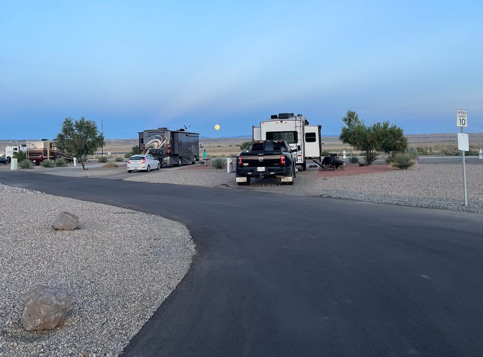
We camped at the Route 66 Casino and RV Park. It's a very nice park with really nice landscaping, a pool, hot tub, laundry, and of course the Casino with decent food. We enjoyed a down day there before heading out again and the nights were beautiful with a full moon lighting up the desert southwest landscape!
As we rolled into the campsite, there were some nasty wind gusts and several RVs' awnings were damaged. We took that as a strong warning and didn't leave our awnings out when we weren't right there to quickly bring them back in!
Fort Sumner and Billy The Kids Gravesite
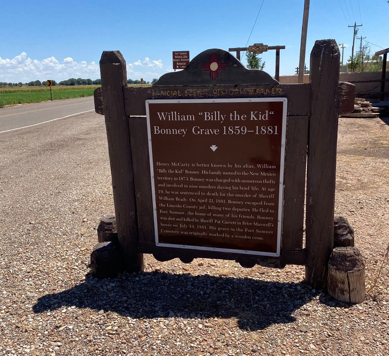
Our first major major stop on our first full-time trip was Billy The Kid's grave in Fort Sumner, Tx. It was a fairly small cemetery and a couple of the graves were fenced off to prevent vandalism. Billy’s grave was covered in loose change people threw in. It surprised me that people would do that and Kim asked why people were venerating a criminal. It’s a good question and probably would make an amazing subject for a PHD candidate in Psychology. We took some time to stop and see the gravesite, but we didn’t go into town for the museum. It was an interesting stop since the old west bandits are a big part of the story of the American West.